
East Evans Creek Fire Reaches 2,656 Acres as Lines Hold, Teams Take Command
Infrared flight planned Saturday night as crews focus on threatened homes and uncontained northern and eastern edges

FAST FIRE FACTS
Name: East Evans Creek Fire
Location: Approximately 7 miles west of Shady Cove. 14 miles northwest of Rogue River.
Acres: Approximately 2,656
Containment: Not reported
Personnel: More than 400 reported Saturday morning
Fire Activity: Lines holding; several small spot fires located Saturday
Primary Focus: Southern structure-protection area and uncontained northern and eastern edges
Command: ODF Complex Incident Management Team 1 and OSFM Blue Incident Management Team
Command Transfer: 6 p.m. Saturday
Cause: Vehicle crash into a power pole ignited nearby vegetation; cause of crash remains under investigation
Evacuations: Level 1, Level 2 and Level 3 notices remain active
Shelter: Hanby Middle School, 806 6th Ave., Gold Hill
Road Closure: East Evans Creek Road at Meadows Road
Airspace: 24-hour Temporary Flight Restriction
Next Mapping Update: Infrared flight planned Saturday night
Latest Update: July 11, 2026, evening
Source: ODF Southwest Oregon District
Links:
Inciweb
Evacuations
East Evans Creek Fire PM update for 7/11/26.
MEDFORD, Ore. — Firefighters held containment lines and limited additional growth Saturday on the East Evans Creek Fire as two state incident management teams assumed unified command of the Jackson County wildfire.
The fire, officially identified as the East Evans Creek Fire, was estimated at 2,656 acres Saturday evening. An infrared flight was planned overnight to more accurately map the fire’s footprint and confirm the acreage.
No containment percentage has been reported.
Crews continued building fire line around the perimeter and protecting homes and other structures near the fire’s edge. Lines constructed overnight remained in place Saturday, although firefighters located several small spot fires during the day.
Aircraft, engines, hand crews and bulldozers worked across the incident, with retardant drops used to create temporary barriers ahead of the fire.
Operations remained focused on the southern portion of the fire, where most of the threatened homes and structures are located, along with uncontained edges on the northern and eastern sides.
Smoke rises from the East Evans Creek Fire as it burns through steep, forested terrain in Jackson County. (Oregon Department of Forestry)


State Teams Assume Unified Command
Oregon Department of Forestry Complex Incident Management Team 1 and the Oregon State Fire Marshal Blue Incident Management Team assumed unified command of the fire at 6 p.m. Saturday.
The teams received an incident briefing from local resources at noon before taking responsibility for suppression and structure protection operations.
ODF Southwest Oregon District, the Bureau of Land Management Medford District and the U.S. Wildland Fire Service ordered the ODF team because of the fire’s size and complexity, steep terrain, extreme fire behavior and lightning in the forecast.
The transition brings additional personnel, equipment and operational support while allowing local firefighters to rest and return to their regular duties, including responding to new fires across the region.
Gov. Tina Kotek’s invocation of the Emergency Conflagration Act mobilized the OSFM Blue Team and additional structural resources from across Oregon.
Four structural task forces from Marion, Lincoln and Linn counties and the southern Oregon coast arrived Saturday. They joined a Douglas County strike team and Klamath County task force deployed Friday through an Immediate Response request.
Structural crews worked to protect homes and critical infrastructure and secure fire line around threatened properties.

Critical Fire Weather Ahead
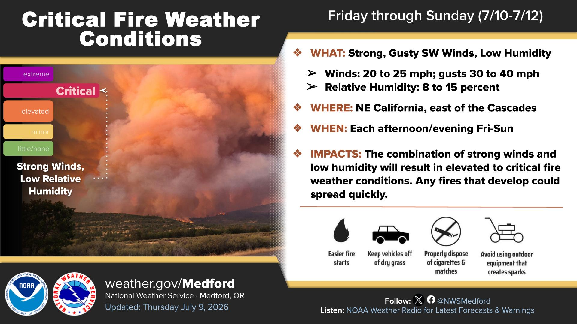
Firefighters are preparing for several days of potentially critical fire weather, including high temperatures, gusty winds and the possibility of lightning.
Crews are working in steep terrain, around hazardous trees and through areas of poison oak. Active fire behavior and dry vegetation remain significant challenges.
Fire managers said the objective remains to extinguish the fire as quickly as possible while keeping its footprint as small as conditions allow.
Fire Started After Crash
The fire began at approximately 2:41 p.m. Friday after a vehicle crashed into a power pole, bringing down a power line and igniting dry vegetation nearby.
The Jackson County Sheriff’s Office is investigating what caused the crash.
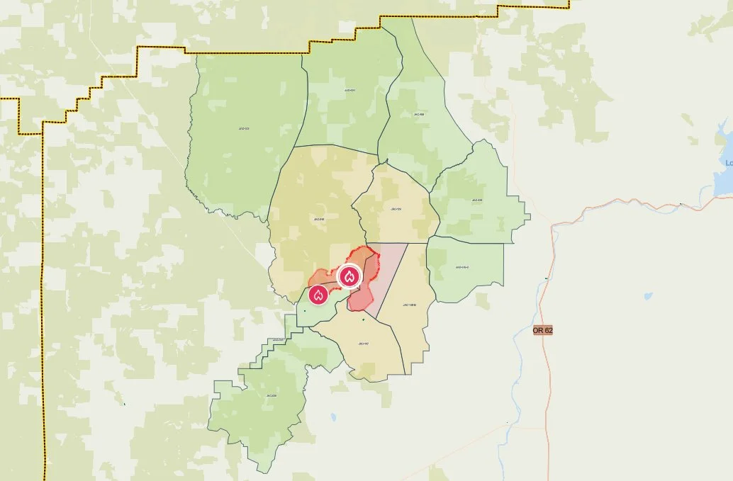
Current evacuation zones surrounding the Evans Creek Road Fire are shown on the Jackson County Sheriff’s Office emergency map Saturday morning. Red marks Level 3, yellow Level 2 and green Level 1 areas. (Jackson County Sheriff’s Office / Genasys Protect)
Evacuations Remain Active
Jackson County Sheriff’s Office and Jackson County Emergency Management evacuation notices remained in effect Saturday evening.
Level 3, Go Now
JAC-148A
All residences along East Evans Creek Road from addresses 19385 through 21899
21612 Antioch Road
21615 Antioch Road
Level 2, Be Set
JAC-016
JAC-124
JAC-147
JAC-148B
Level 1, Be Ready
JAC-003
JAC-004
JAC-017
JAC-026
JAC-036
JAC-109
JAC-126
JAC-149B
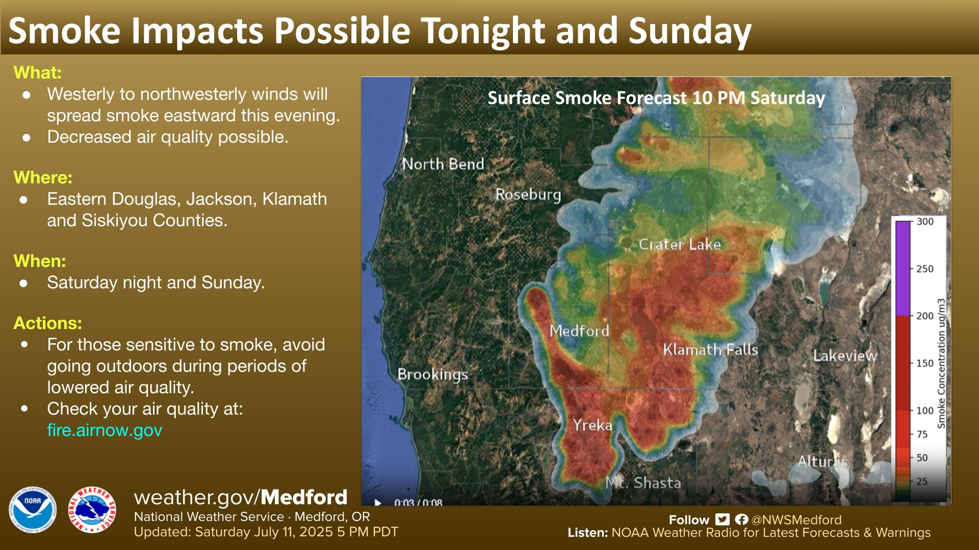
Residents should continue checking the Jackson County evacuation map and following official emergency instructions because zones may change quickly.


Shelter and Livestock Information
Hanby Middle School, located at 806 6th Ave. in Gold Hill, remains open as an evacuation shelter for residents and domestic pets.
Horses can be taken to The Expo at 21 Penninger Road in Central Point. Owners should call 541-776-7206 before arriving to confirm space is available.
The Josephine County Fairgrounds at 1451 Fairgrounds Road in Grants Pass can accept pigs, goats and smaller animals.
Livestock owners should bring feed, water containers and necessary medications when possible. Assistance is available by calling 541-776-7206.
Road and Airspace Restrictions
East Evans Creek Road remains closed to the public at Meadows Road. The public is asked to avoid the fire area so firefighters and heavy equipment can operate safely.
A 24-hour Temporary Flight Restriction remains in effect over the incident until further notice.
Flying a drone near a wildfire is illegal and can force firefighting aircraft to leave the area, interrupting aerial suppression operations and creating a serious safety hazard.
RELATED
July 11, 2026: East Evans Creek Fire Grows to 2000 Acres as 400 Firefighters Mobilize.
July 11, 2026: Crews Work Through Night on Evans Creek Road Fire
July 11, 2026: State Reinforcements Head to Evans Creek Road Fire
July 10, 2026: Evans Creek Road Fire Grows to 1,550 Acres, Crosses Two Roads
Cover image: Flames burn through dry vegetation and timber on the Evans Creek Road Fire as crews prepare for another day of warm, dry and breezy conditions. (ODF Southwest Oregon District)


More Firewatch
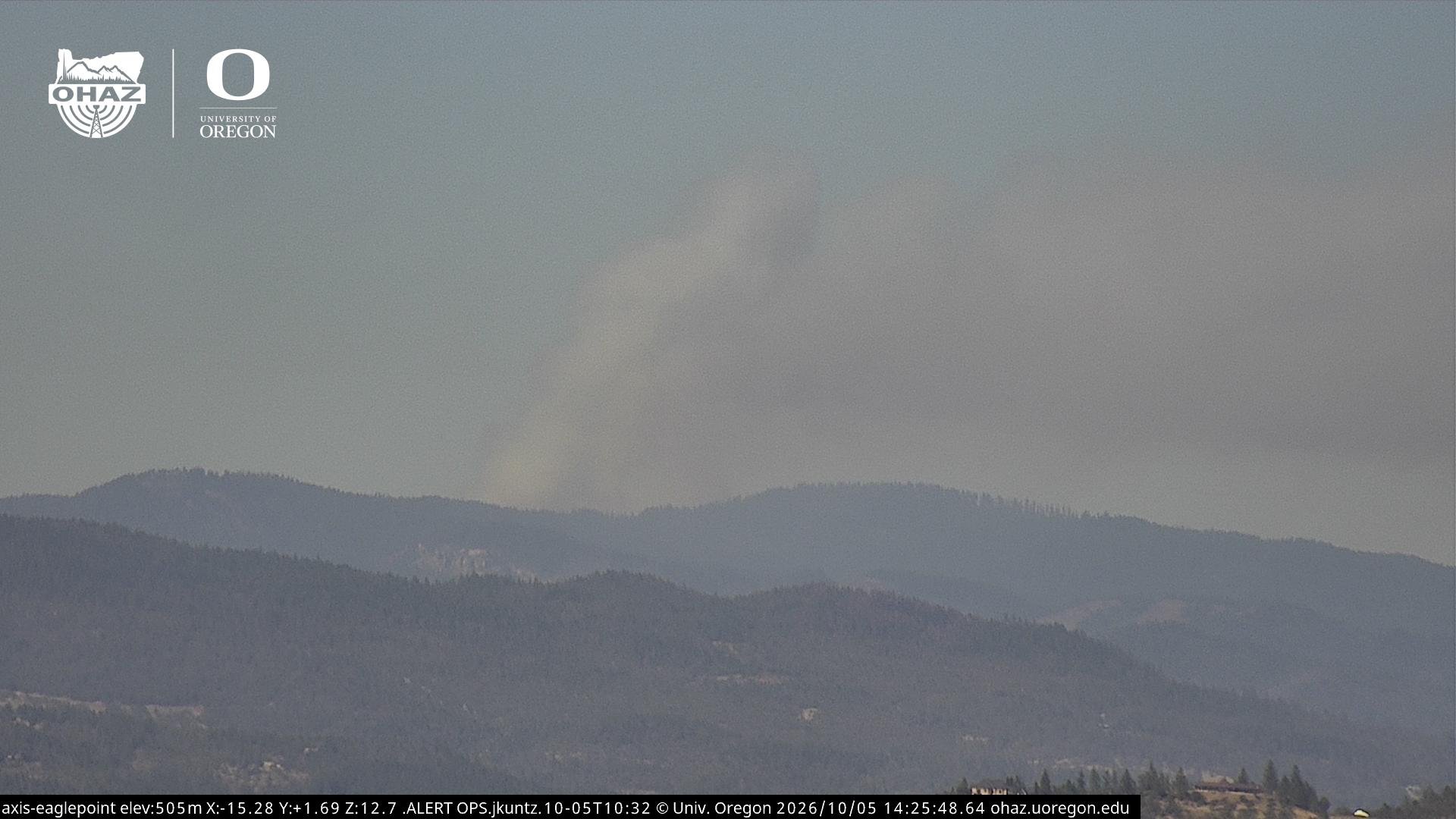




ODF Southwest Oregon’s 4 Alpha Fox helicopter has completed its 75-day seasonal contract after introducing approved night-vision wildfire flights this year. One recent after-dark mission located three lightning-caused fires.