
East Evans Creek Fire Remains at 2,656 Acres as Wind Gusts Test Lines
Infrared flight planned Saturday night as crews focus on threatened homes and uncontained northern and eastern edges

FAST FIRE FACTS
Name: East Evans Creek Fire
Location: Approximately seven miles west of Shady Cove
Acres: 2,656
Containment: 0%
Evacuations: Level 1, Level 2 and Level 3 zones remain active
Resources: Eight hand crews, 34 engines, nine water tenders and seven aircraft
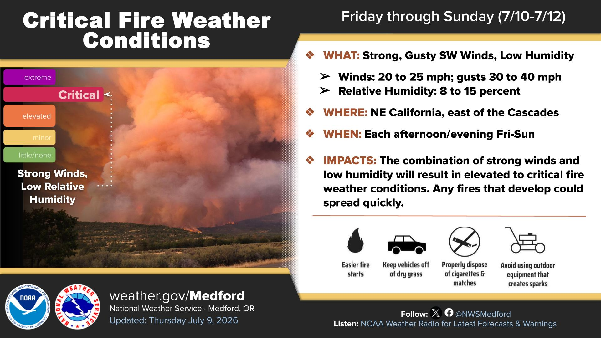
Current activity: Crews are strengthening fire lines ahead of gusty winds and critical fire weather
Cause: Vehicle crashed into a power pole; the cause of the crash remains under investigation
Updated: Sunday morning, July 12
Links:
Inciweb
Evacuations
Fire personnel check and program portable radios before heading into the field Sunday morning on the East Evans Creek Fire west of Shady Cove. (Oregon Department of Forestry)
East Evans Creek Fire AM update for 7/12/26.
SAMS VALLEY, Ore. — Firefighters made additional progress overnight on the East Evans Creek Fire, but officials warned that gusty winds and continued critical fire weather could test established lines Sunday afternoon.
The fire remains estimated at 2,656 acres and 0% containment approximately seven miles west of Shady Cove. Oregon Department of Forestry officials said the most recent acreage was determined through mapping completed on foot. A revised estimate from infrared flights will be released when available.
Crews reinforced established lines along the southern portion of the fire overnight, while structural firefighters remained in place near threatened homes and infrastructure.
FIREFIGHTERS HOLD GROWTH DURING ACTIVE EVENING
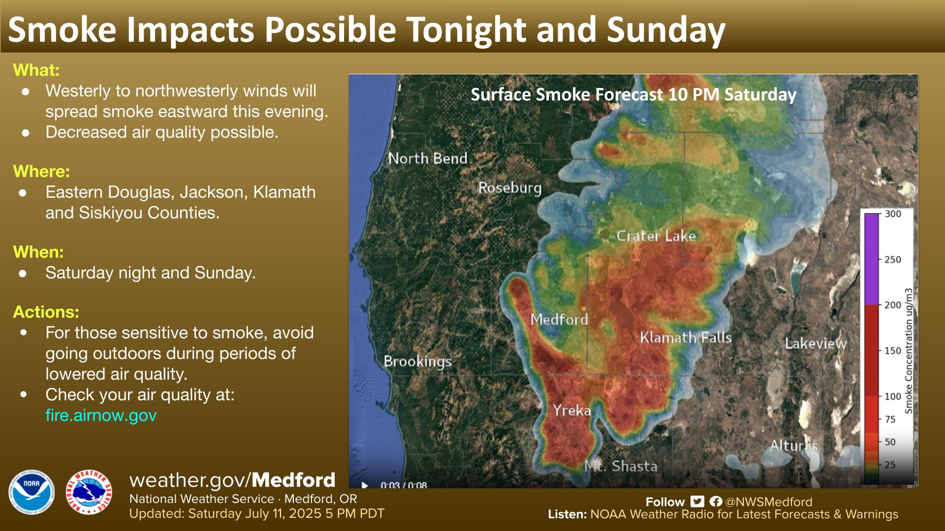
Fire activity increased Saturday evening as gusty winds, dry vegetation and steep terrain contributed to more active burning.
Despite the conditions, coordinated ground and aerial suppression efforts prevented significant growth, according to ODF. Air tankers were used extensively to slow the fire’s spread, while helicopters dropped water on hotspots and supported firefighters working in difficult terrain.
Moderate overnight humidity recovery and a morning inversion created more favorable conditions Sunday morning, allowing crews to continue strengthening lines.
The inversion was expected to temporarily limit aerial operations, but aircraft remained available for use as visibility improved.
Operational Map
The latest briefing map shows the current fire perimeter, completed line, access routes, division assignments and sections of uncontained fire edge around the East Evans Creek Fire. The map continues to reflect the 2,656-acre estimate based on mapping completed July 11, while officials await updated acreage from infrared flights.
A July 12 briefing map shows the mapped perimeter, completed fire lines, division assignments and remaining uncontained edges of the East Evans Creek Fire. The map reflects the 2,656-acre estimate based on mapping completed July 11. (ODF/OSFM)


WIND GUSTS COULD REACH 30 MPH
Officials said winds could gust up to 30 mph Sunday afternoon, creating more difficult conditions along the fire line.
Elevated fire weather concerns are expected to continue through the weekend and into early next week. Thunderstorms are possible Monday.
Wildland crews are continuing to work directly along the fire’s edge where terrain allows. In steep or inaccessible areas, firefighters are reopening lines constructed during previous fires as a backup in case direct attack is not possible.
Structural firefighters continue protecting homes, critical infrastructure and threatened properties. Crews are also improving defensible space around residences near the fire.
ODF Incident Management Team 1 and the Oregon State Fire Marshal Blue Incident Management Team remain in unified command of the incident.
Evacuations Remain Active
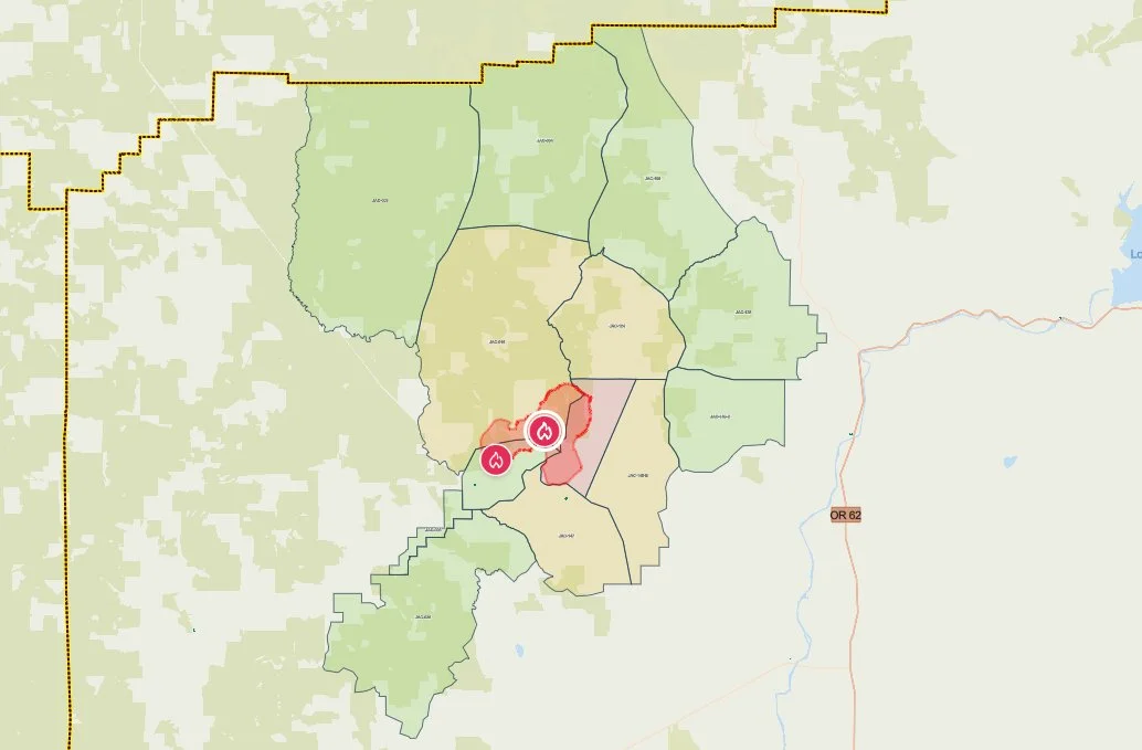
Current evacuation zones surrounding the Evans Creek Road Fire are shown on the Jackson County Sheriff’s Office emergency map Saturday morning. Red marks Level 3, yellow Level 2 and green Level 1 areas. (Jackson County Sheriff’s Office / Genasys Protect)
Jackson County Sheriff’s Office and Jackson County Emergency Management evacuation notices remained in effect Saturday evening.
Level 3, Go Now
JAC-148A
The evacuation area includes residences adjacent to East Evans Creek Road from addresses 19385 through 21899. Residences at 21612 Antioch Road and 21615 Antioch Road are also included.
Level 2, Be Set
JAC-016
JAC-124
JAC-147
JAC-148B
Level 1, Be Ready
JAC-003
JAC-004
JAC-017
JAC-026
JAC-036
JAC-109
JAC-126
JAC-149B
Residents should continue checking the Jackson County evacuation map and following official emergency instructions because zones may change quickly.


Shelter and Livestock Information
An evacuation shelter for residents and domestic pets remains open at:
Hanby Middle School
806 Sixth Avenue
Gold Hill
Horses may be taken to the Expo at 21 Penninger Road in Central Point. Owners should call 541-776-7206 before arriving to confirm space remains available.
Owners are encouraged to bring feed, water containers and necessary medications when possible.
The Josephine County Fairgrounds at 1451 Fairgrounds Road in Grants Pass can receive pigs, goats and smaller livestock.
The same phone number, 541-776-7206, can be used for livestock sheltering assistance.

ROAD AND AIRSPACE RESTRICTIONS
East Evans Creek Road remains closed to public traffic at Meadows Road.
Officials are asking the public to stay out of the fire area so firefighters and heavy equipment can operate safely.
A temporary flight restriction remains in effect over the fire 24 hours a day until further notice. Flying a drone near a wildfire is illegal and can force firefighting aircraft to stop operating.
CRASH REMAINS UNDER INVESTIGATION
The fire began at approximately 2:41 p.m. Friday after a vehicle crashed into a power pole and ignited dry vegetation.
The Jackson County Sheriff’s Office continues investigating what caused the crash.
RELATED
July 11, 2026:
July 10, 2026:
Evans Creek Road Fire Grows to 1,550 Acres, Crosses Two Roads
Cover image: Firefighters and incident management personnel gather for a Sunday morning briefing on the East Evans Creek Fire as crews prepare for another day of suppression work under forecast gusty winds and critical fire weather. (Oregon Department of Forestry)


More Firewatch
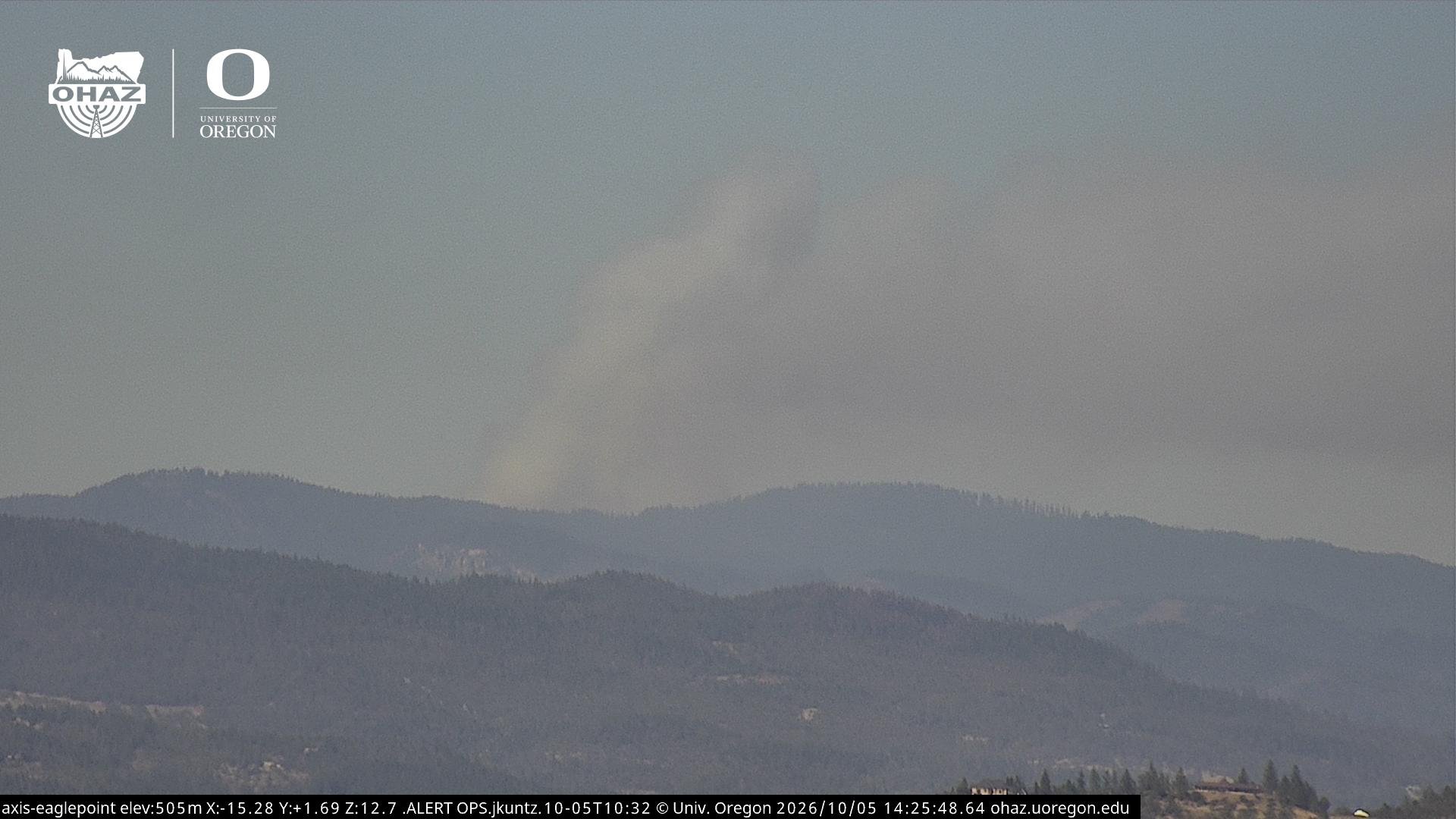




ODF Southwest Oregon’s 4 Alpha Fox helicopter has completed its 75-day seasonal contract after introducing approved night-vision wildfire flights this year. One recent after-dark mission located three lightning-caused fires.