

Southern Oregon & Northern California News
Latest local news from Southern Oregon and Northern California, covering Medford, Ashland, Grants Pass, Klamath Falls, Jackson County, Josephine County, Klamath County, Siskiyou County, Del Norte County, and communities throughout the region.

Wrights Spring Fire Moves Into the Final Stretch
Twenty-seven days after the Wrights Spring Fire ignited, the 55,134-acre fire is now 90% contained with no measurable growth in 48 hours. Crews are pulling equipment, repairing roads and dozer lines, and working through the last stubborn pockets of heat.

Red Flag Warning Covers Klamath Basin, Siskiyou County
A Red Flag Warning is in effect Monday across much of the Klamath Basin and northern California as gusty winds, very low humidity, and dry vegetation create conditions favorable for rapid fire growth. The warning continues through 8 p.m. across much of the affected area.
Wrights Spring Fire Reaches 75% Containment on Day 25
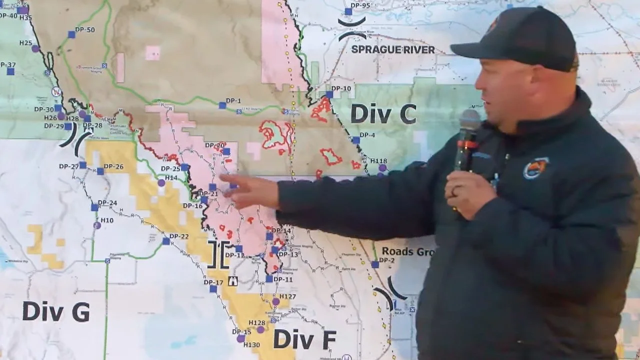
The Wrights Spring Fire has reached 55,134 acres and 75% containment on its 25th day. Crews are pushing mop-up deeper into the perimeter, expanding suppression repair, and releasing personnel and equipment as confidence in containment continues to grow.
Wrights Spring Fire Reaches 65% Containment as Repair Work Expands
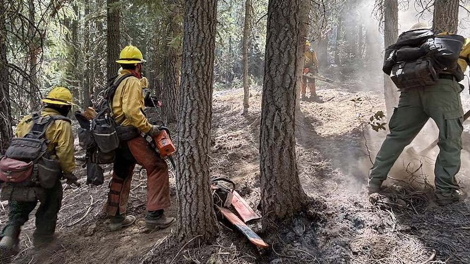
The Wrights Spring Fire is now 55,133 acres and 65% contained as crews deepen mop-up, repair roads and dozer lines, and stabilize areas affected by suppression work. Staffing has dropped to 667 as resources are gradually released for other fires across the region.
Crews Close Last Open Edge on Wrights Spring Fire
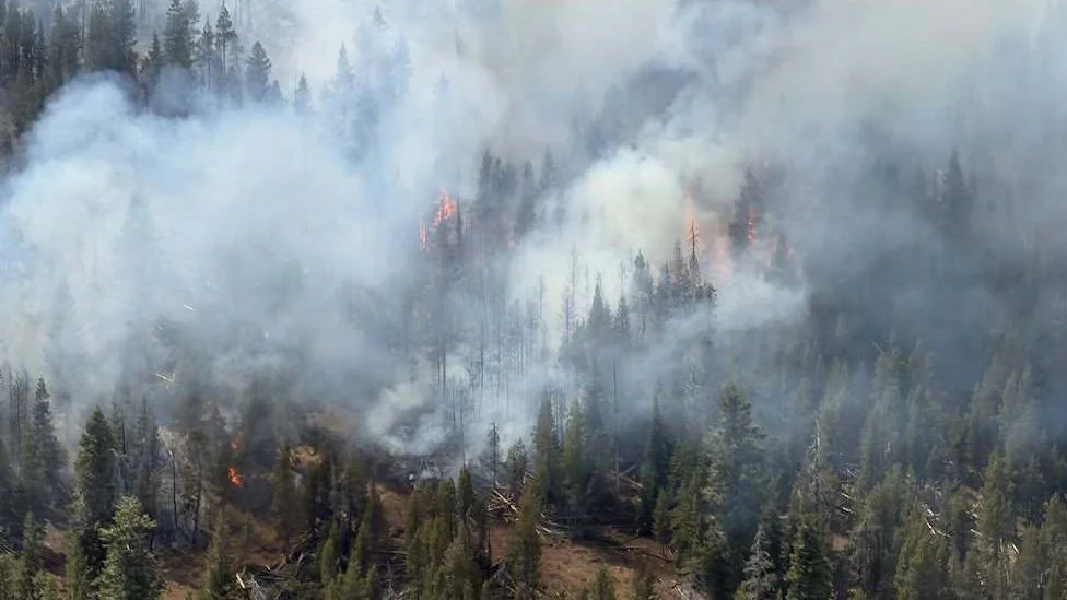
Firefighters have closed the last open edge of the Wrights Spring Fire near Swan Lake Point. The fire is now 54,492 acres and 55% contained as crews expand mop-up, remove hazard trees, repair roads, and restore areas affected by suppression work.

Wrights Spring Fire Nears Full Line
The Wrights Spring Fire has reached 54,131 acres and 55% containment as crews near a continuous containment line around the fire. Another unauthorized drone grounded firefighting aircraft Tuesday night, while evacuation levels continue to ease across southern Klamath County.

Fire Crews Close Remaining Gaps
The Wrights Spring Fire is now 54,016 acres and 53% contained as crews work to close remaining gaps along the south and southwest perimeter. Secure areas are moving into patrol and suppression repair, while Northwest Team 8 prepares for the fire’s next management transition.
Wrights Spring Fire Crews Go Direct on Southwest Edge as Evacuations Ease
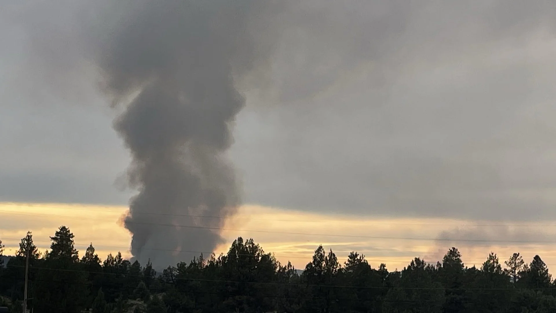
The Wrights Spring Fire has grown to 53,941 acres and reached 51% containment as crews build direct fireline along the southwest edge. Firefighters are working to close remaining gaps near Swan Lake Point while evacuation levels begin easing across parts of southern Klamath County.

Wrights Spring Fire Reaches 47% Containment as OSFM Demobilizes
The Wrights Spring Fire has reached 53,628 acres and 47% containment as much of the northern half becomes increasingly secure. OSFM crews are demobilizing, while Northwest Team 8 evaluates whether firefighters can move closer to the active southwest edge.

OSFM Begins Demobilizing as Crews Prep Firing Operation
The Wrights Spring Fire has reached 53,388 acres and 9% containment as crews prepare southern control lines for a potential firing operation. OSFM structure protection resources are entering their final shift, while several evacuation zones have been reduced as threats to homes continue to decline.

Rain Gives Wrights Spring Fire Crews a Break as Structure Protection Scales Back
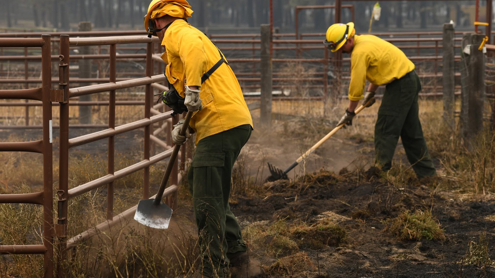
Overnight rain moderated conditions on the Wrights Spring Fire, giving crews time to reinforce containment lines before warmer, drier weather returns. The fire is 53,061 acres and 6% contained as structure protection resources scale back in northern areas and work continues along the south and southwest.
Structure Protection Shifts South as Wrights Spring Fire Crews Secure Northern Areas
The Wrights Spring Fire has reached 53,032 acres and 6% containment as crews increasingly move northern areas into patrol status. Structure protection and line construction remain focused farther south, while officials confirm one primary structure and three outbuildings were lost earlier in the incident.

Wrights Spring Fire Reaches 5% Containment as Crews Focus on Southwest Flank
The Wrights Spring Fire is now 52,531 acres and 5% contained with 761 personnel assigned. Crews report increasingly secure lines on the north end while firefighters work spot fires and build control line near Swan Lake Rim. An Air Quality Alert remains in effect for Klamath and Lake counties.
Wrights Spring Fire Grows to 51,687 Acres as Crews Strengthen Southern Lines
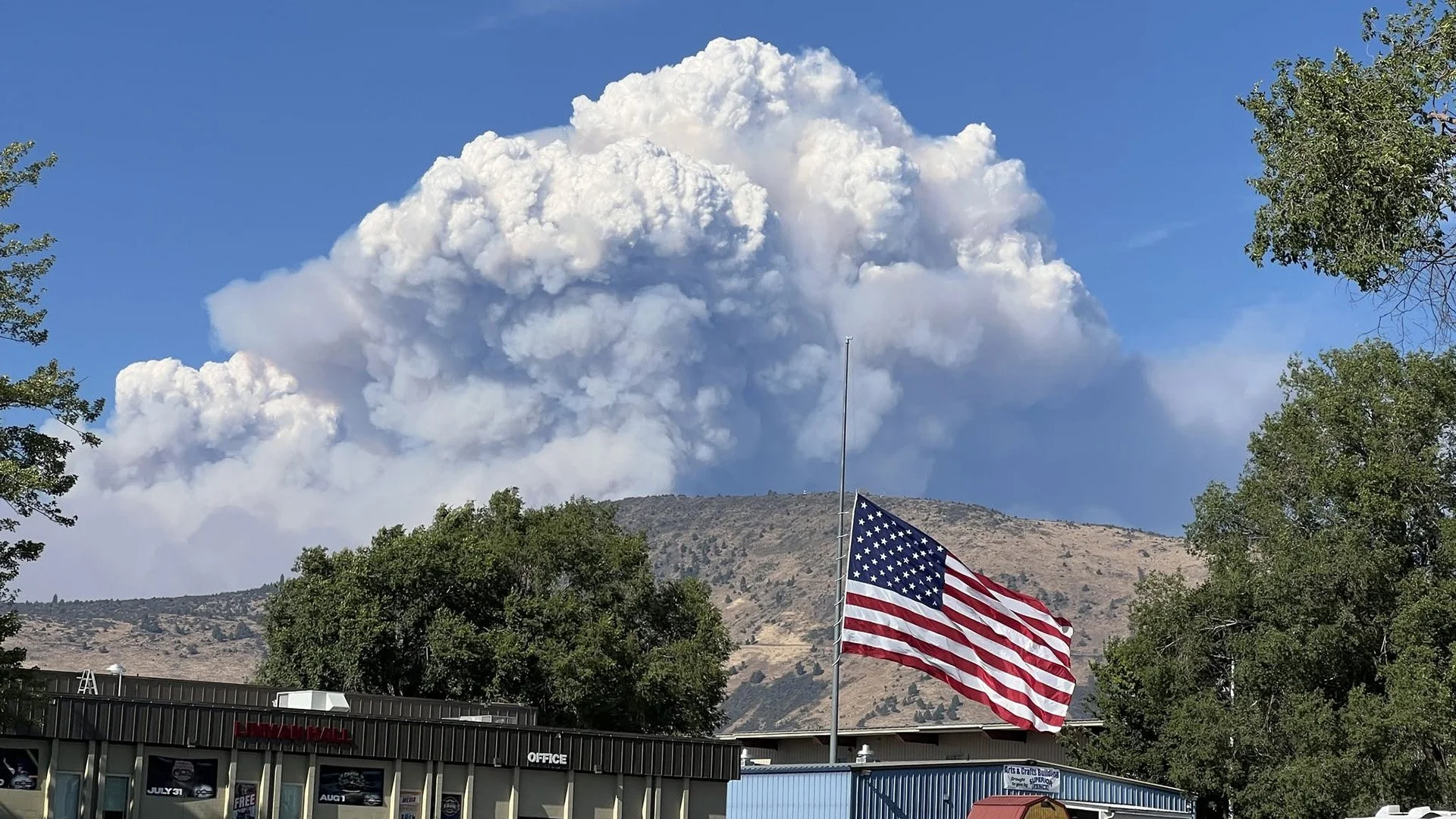
The Wrights Spring Fire has grown to 51,687 acres as crews strengthen control lines across the incident. Fire officials report progress on the north end, while structure protection continues around Bly Mountain, Bliss Road, and Swan Lake. Evacuations remain widespread.
Wrights Spring Fire Reaches 46,769 Acres as Large Forest Closure Takes Effect
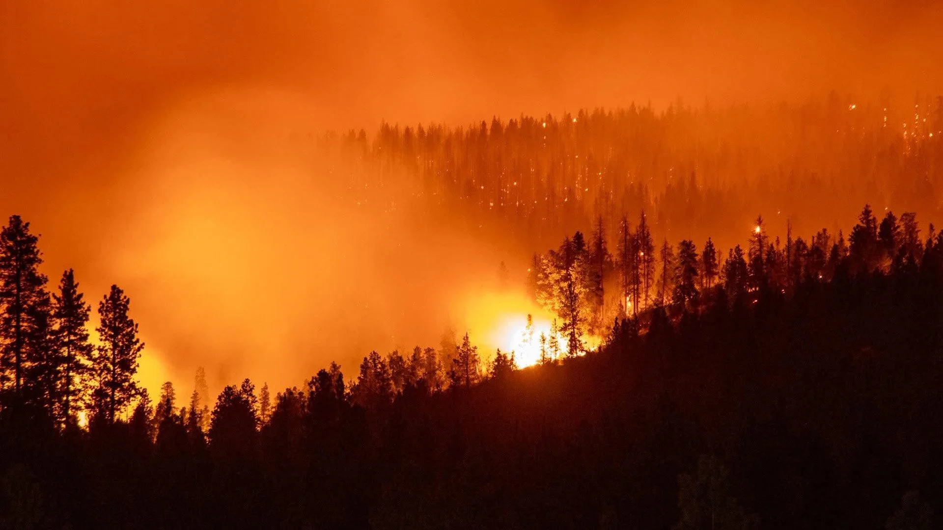
The Wrights Spring Fire has grown to 46,769 acres after adding nearly 12,800 acres in 24 hours. Evacuations remain widespread across southern Klamath County, 555 personnel are assigned to the incident, and a large Fremont-Winema National Forest closure is now in effect.

Wrights Spring Fire Crosses Bliss Road as Crews Battle Eastward Spread (UPDATED)
The Wrights Spring Fire has grown to 33,970 acres and remains 0% contained after pushing east and southeast across Bliss Road near Round Mountain. Ten structural task forces are working across the incident as crews build control lines and expand structure protection around Sprague River.
Wrights Spring Fire Mapped at 19,290 Acres as Evacuations Expand (UPDATED)
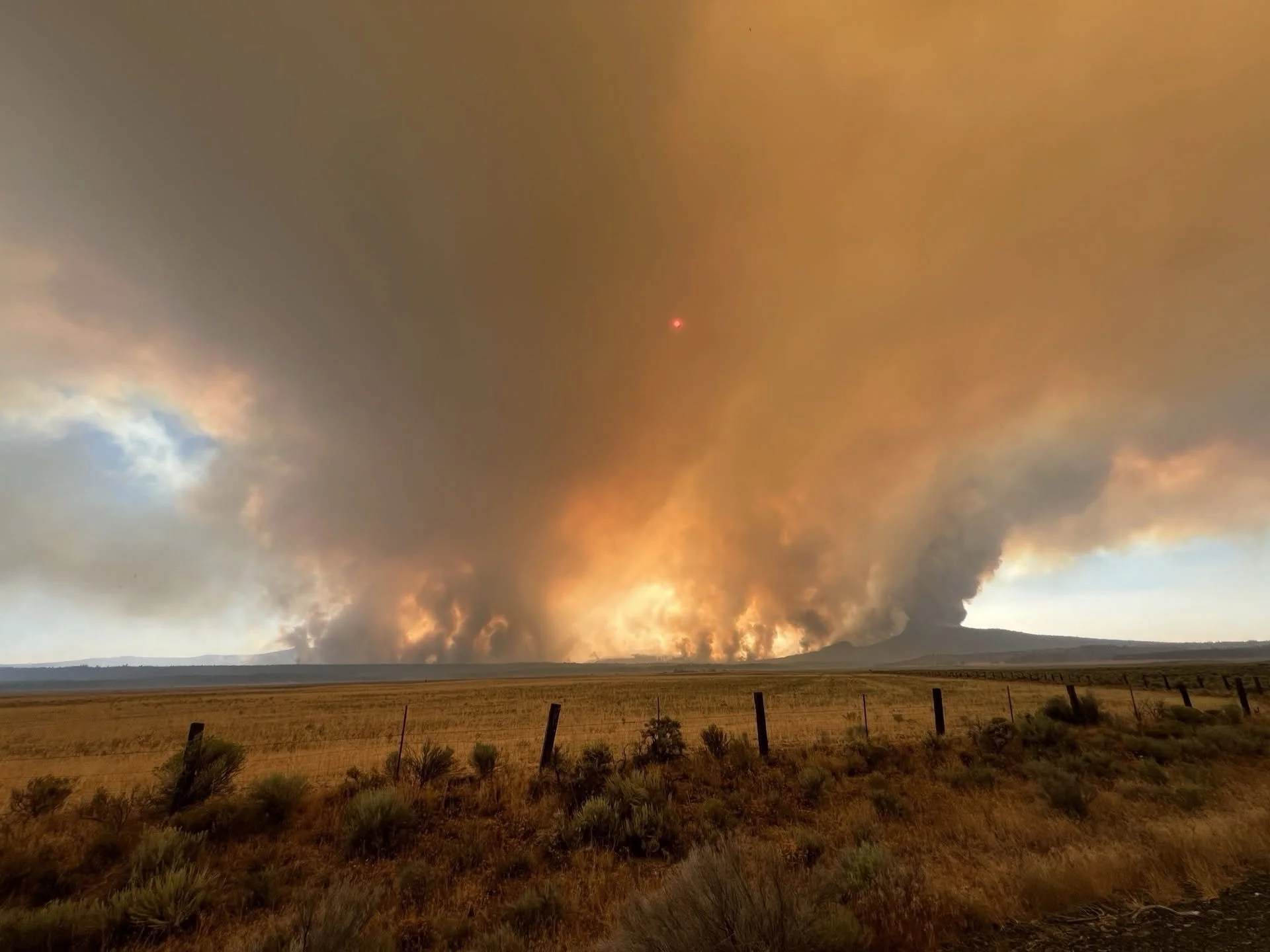
The Wrights Spring Fire is mapped at 19,290 acres and remains 0% contained west of Sprague River. Unified command is in place with 316 personnel assigned, expanded evacuations in effect, and eight OSFM task forces supporting structure protection.
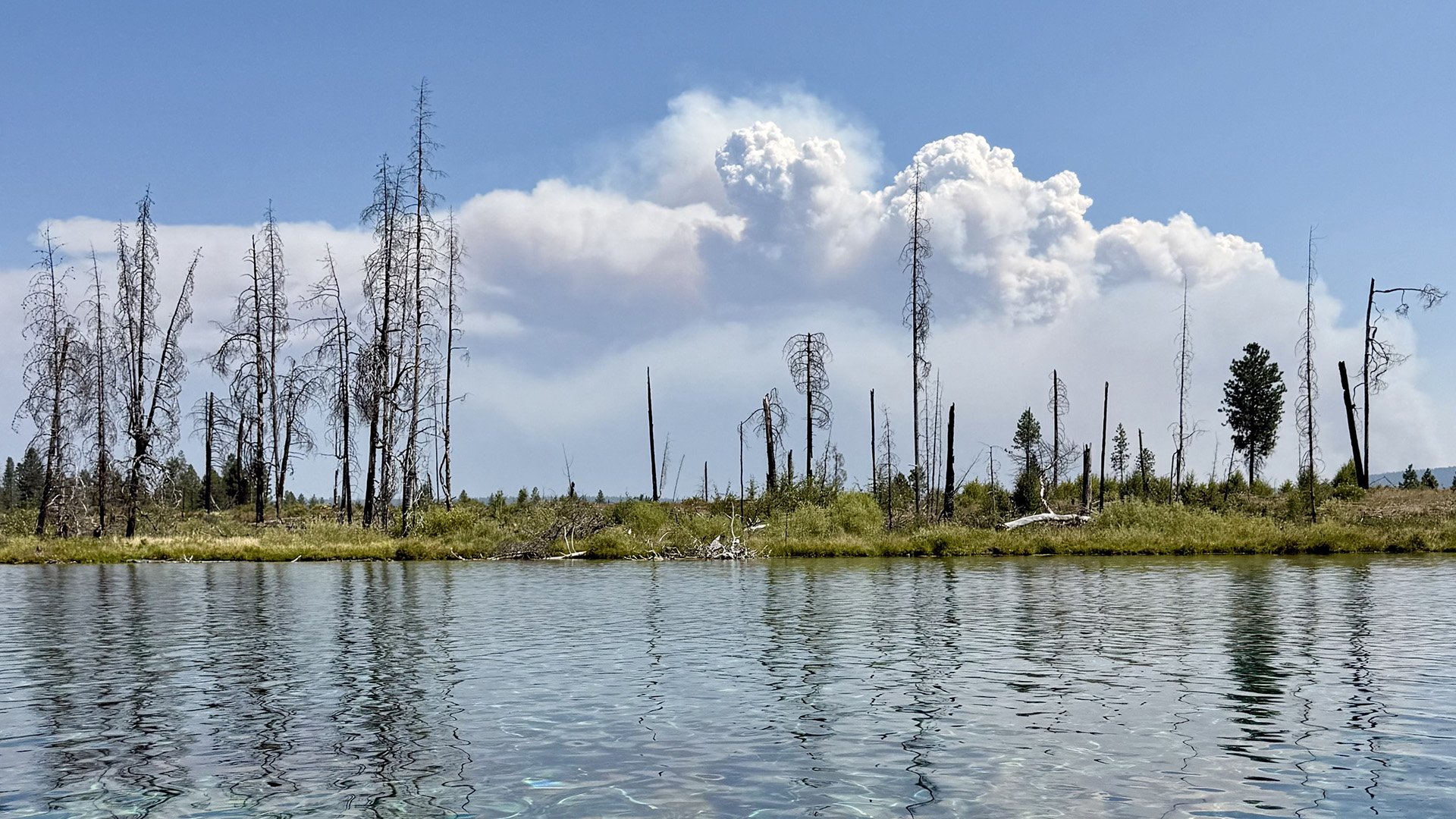
Level 3 Evacuations Issued as Wrights Spring Fire Surges to 8,722 Acres
The Wrights Spring Fire has surged to approximately 8,722 acres east of Chiloquin as Level 3 “GO NOW” evacuations expand around the incident. Oregon has invoked the Emergency Conflagration Act, bringing additional structural firefighting resources to Klamath County.
Red Flag Warning Issued for Klamath Basin, Lake County Saturday
A Red Flag Warning will be in effect from 2 to 9 p.m. Saturday across the Klamath Basin, Fremont-Winema National Forest, Lake County, and western Harney County. Gusts near 30 mph and humidity as low as 6% could allow fires to spread rapidly.
Weekend Forecast: Red Flag Warning, Gusty Winds Raise Fire Danger East of Cascades
A Red Flag Warning is in effect through Sunday for parts of the Klamath Basin, eastern Klamath County and Modoc County. Strong southwest winds, very low humidity and critically dry fuels could allow new fires to spread rapidly, while hot inland weather continues across the region.