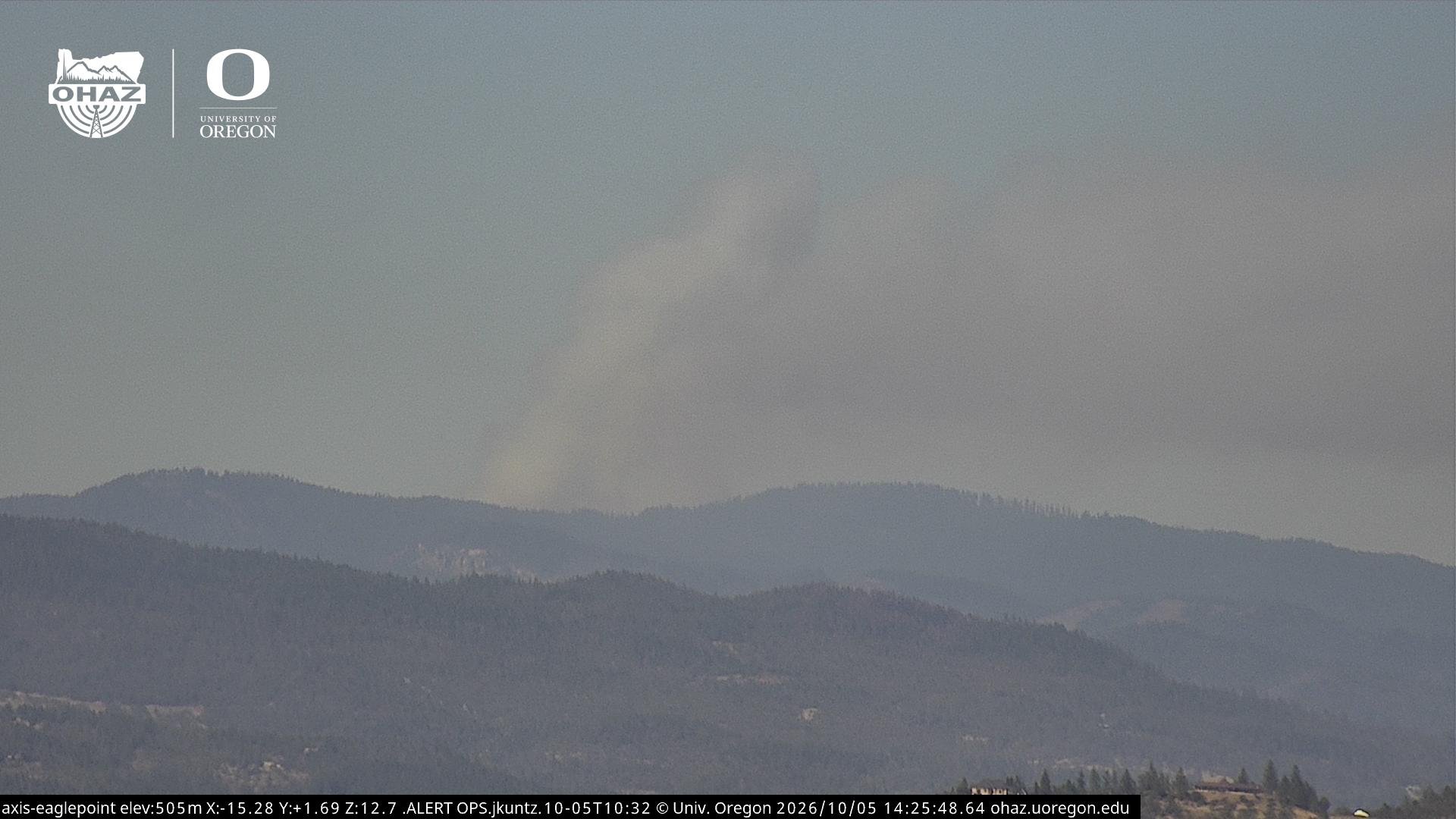
Wrights Spring Fire Reaches 75% Containment on Day 25
Crews deepen mop-up, repair suppression lines, and release resources as the incident continues winding down.
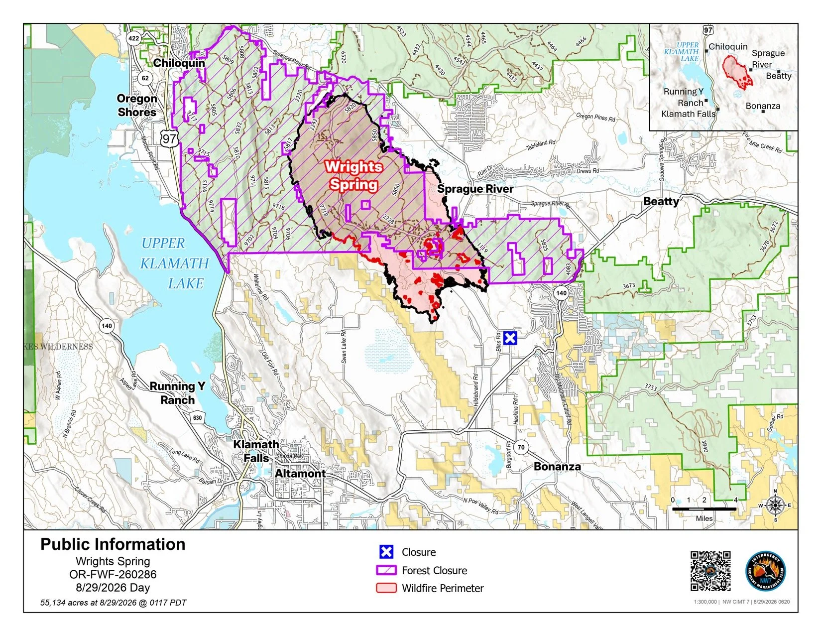
Public Information Map: The Aug. 29 public information map shows the 55,134-acre Wrights Spring Fire perimeter, surrounding communities, and areas affected by the Fremont-Winema National Forest closure. Northwest Team 7. See all current Wrights Spring Fire maps.
FAST FIRE FACTS
Name: Wrights Spring Fire
Location: 2 miles west of Sprague River, Oregon
Size: 55,134 acres
Containment: 75%
Personnel: 543
Evacuations: Evacuation levels have decreased across much of the area
Command: Northwest Team 7
Activity: Crews are deepening mop-up, repairing roads and dozer lines, and releasing resources as containment improves.
KLAMATH FALLS, Ore. — The Wrights Spring Fire entered its 25th day Saturday with containment climbing to 75% as crews continue deep mop-up, patrol, and suppression repair across the 55,134-acre fire.
Staffing has fallen to 543 personnel, roughly half of the nearly 1,100 firefighters assigned when the incident was at its peak. As confidence in containment grows, crews, equipment, hose, and other resources are increasingly being released for other fires or made available for new starts across the region.
Firefighters have now established a cold edge around the fire, with officials saying 75% of the perimeter is considered contained with no probability of escape under forecast conditions. Interior pockets of unburned vegetation continue to smolder well away from the perimeter and may produce visible smoke.


MOP-UP PUSHES DEEPER
Much of Saturday’s work remains focused on patrol and finding stubborn heat along the fire’s edge.
In Divisions X, R, C, and F, crews are continuing to mop up around the perimeter, using infrared detection to locate hidden heat and working 100 feet or more into the burned area in some locations.
Near the Swan Lake communication site, which has remained one of the more persistent areas of heat, crews are continuing deeper mop-up while beginning to remove hose, sprinklers, and other equipment no longer needed.
Operations Section Chief Scott Coulson said the incident is now on what he described as a “glide path” over the next several days as the remaining work shifts increasingly toward securing the perimeter and repairing areas affected during suppression.
300,000 GALLONS MOVED AROUND FIRE
One of the more notable numbers from Saturday’s operational briefing came from an overhead water fill site along the Sprague River.
Coulson said the site has supplied approximately 300,000 gallons of water to tenders, which then distributed that water around the Wrights Spring Fire during suppression and mop-up operations.
Crews are also assessing and grading roads used heavily during the incident to preserve access for firefighters and begin repairing damage caused by weeks of fire traffic.

REPAIR WORK EXPANDS
Suppression repair is becoming a larger part of the daily workload as containment increases.
Firefighters and heavy equipment are repairing dozer lines, grading roads, building water bars to reduce erosion, and chipping roadside piles of limbs and small trees removed during fireline construction. Crews are also restoring contingency lines that were built earlier in the incident but are no longer needed.
Officials said the goal is to stabilize the landscape and leave roads, firelines, and other affected areas in the best condition possible before management of the fire is eventually returned to local resources.
FIRE ACTIVITY CONTINUES TO DECLINE
Saturday is expected to be cooler and slightly more humid than recent days, although winds are forecast to increase. Fire officials said the Wrights Spring Fire has remained within containment lines through repeated periods of Red Flag conditions.
The latest smoke outlook calls for generally good air quality across most of the region, with periods of light smoke still possible near the fire. Some smoke expected around Chiloquin, Lakeview, and portions of the eastern Klamath Basin overnight into Sunday may come from the Austin Fire to the north rather than the Wrights Spring Fire. The Aug. 29-30 forecast is also the final dedicated smoke outlook planned for the Wrights Spring incident.
The next daily Wrights Spring Fire update is scheduled for Monday, Aug. 31.


Keep Reading