
Wrights Spring Fire Crews Go Direct on Southwest Edge as Evacuations Ease
Firefighters take advantage of favorable conditions to close remaining gaps as containment reaches 51%.
FAST FIRE FACTS
Name:
Wrights Spring Fire
Location:
2 miles west of Sprague River, Oregon
Size: 53,941 acres
Containment: 51%
Personnel: 942
Evacuations:
25 Level 3 zones
33 Level 2 zones
36 Level 1 zones
Command:
Northwest Incident Management Team 8
Activity:
Crews are building direct fireline along the southwest edge and working southeast from Swan Lake Point to close remaining gaps on the western side. Much of the north half remains in mop-up and patrol.
Smoke:
Light smoke remains possible around the Klamath Basin, with light to moderate impacts possible in the Sprague River Valley.
Closures:
Bliss Road remains closed from Petersteiner Road to Sprague River. The Fremont-Winema National Forest fire-area closure remains in effect.
Shelters:
Red Cross shelters remain available in Chiloquin and Bonanza. Large-animal sheltering remains available at the Klamath County Fairgrounds.
Cover Photo, Tactical Firing Operation: A smoke column rises west of Bliss Road on Aug. 16 as firefighters conduct a tactical firing operation between the dozer line and unburned fuels, part of a more direct strategy along the southwest corner of the Wrights Spring Fire. Northwest Team 8.
KLAMATH FALLS, Ore. - Firefighters are changing tactics along one of the last challenging portions of the Wrights Spring Fire, moving closer to the active southwest edge and building direct fireline as improving conditions give crews an opportunity to reduce the amount of additional ground that may need to burn.
The fire is now mapped at 53,941 acres and 51% contained, with 942 personnel assigned. Much of the northern half remains secure, while Monday’s work is increasingly concentrated on closing remaining gaps along the south, southwest, and west sides of the incident.


The move toward direct attack marks an important change from the strategy crews had been preparing over the past several days. Firefighters had built and strengthened indirect containment lines that could support a larger firing operation if necessary, but recent rain, higher humidity, and calmer winds are now allowing crews to work closer to the existing fire edge.
Evacuation restrictions are also beginning to ease. The latest Klamath County Sheriff’s Office information shows some zones moving to lower evacuation levels as suppression work progresses.
CREWS BUILD DIRECT LINE ON SOUTHWEST EDGE
Firefighters made good progress Sunday across the southern and lower western portions of the Wrights Spring Fire.
Crews continued securing line and increasing mop-up depth while beginning direct line construction along the southwest edge. Fire officials said the recent stretch of more favorable weather has made that approach possible while also helping minimize additional acres burned and impacts to Tribal, cultural, and natural resources.
Monday, crews will continue extending that direct line northward.
Around Swan Lake Point, firefighters are also working southeast to close off the western side of the fire. Heavy equipment has moved through previously burned portions of the incident from the north to reach that area and support construction of the remaining line.
The indirect containment lines prepared over the past several days remain available if conditions change.
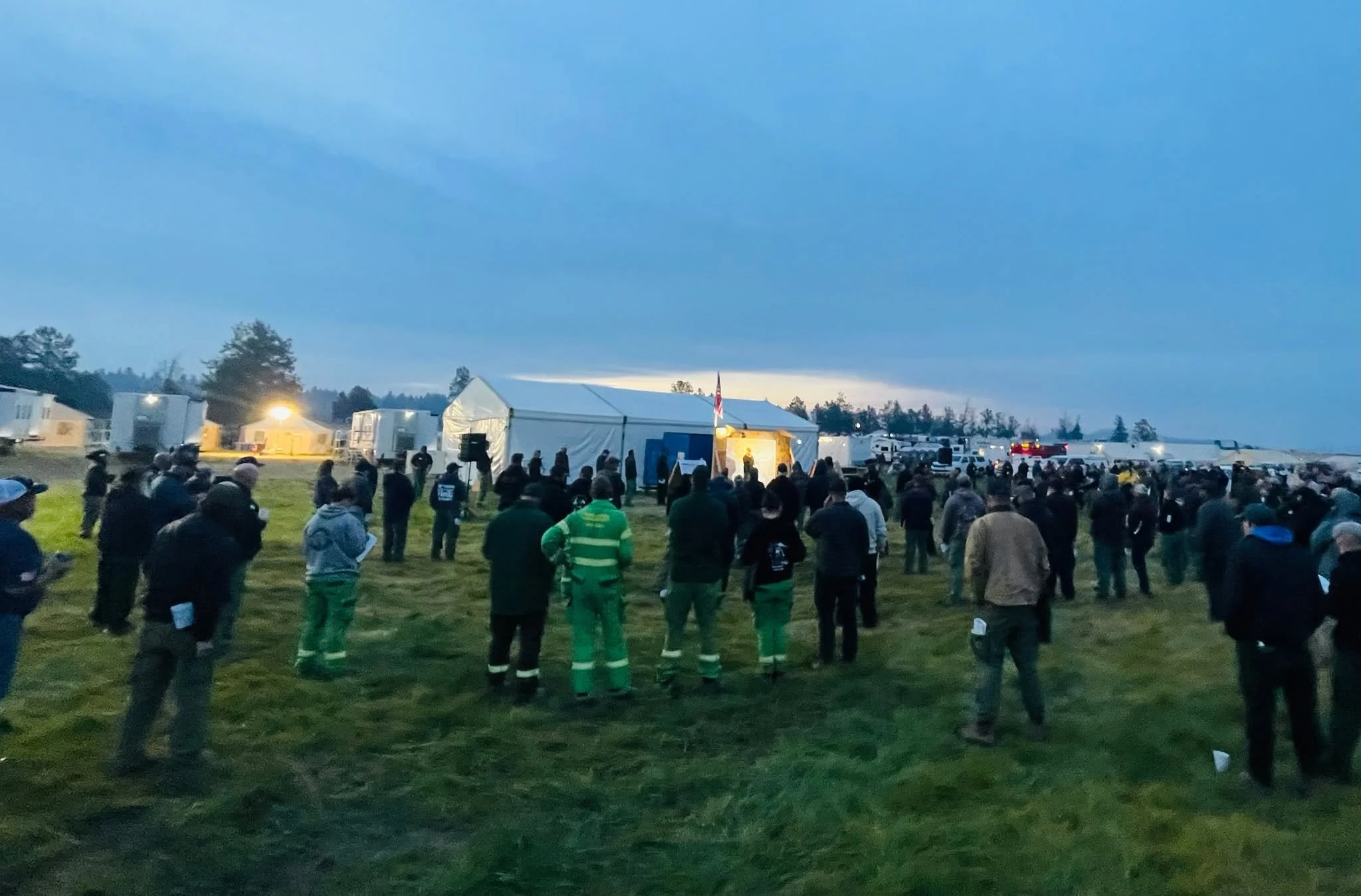
Morning Briefing: Firefighters and support personnel gather for the morning briefing at the Wrights Spring Fire Incident Command Post. Photo by Stacy Long / Northwest Team 8.
NORTH HALF REMAINS SECURE
Much of the northern half of the Wrights Spring Fire continues to require primarily patrol and mop-up.
Day and night crews spent Sunday locating and extinguishing remaining hot spots near established containment lines. Firefighters also addressed a couple of hot spots around Horton Rim on the southeast side.
A spot fire was found outside the containment line near Hildebrand Road and was addressed by crews.
Monday’s work across the north, southeast, and southern portions of the incident will focus on increasing mop-up depth and making existing lines more secure.
The latest infrared mapping shows the vast majority of remaining heat as scattered within the established fire footprint, with more complex perimeter work still evident through the south and southwest portions of the incident.
EVACUATION LEVELS BEGIN TO COME DOWN
The Klamath County Sheriff’s Office has reduced evacuation levels in some areas surrounding the Wrights Spring Fire as conditions improve.
As of Monday, the active evacuation list includes:
25 Level 3 (GO NOW) zones
33 Level 2 (Be Set) zones
36 Level 1 (Be Ready) zones
Residents should continue checking their individual address through Genasys Protect because evacuation boundaries can continue changing as containment work progresses.
View the latest Wrights Spring Fire evacuation information and live map.

LIGHT SMOKE REMAINS POSSIBLE
Smoke impacts around the Klamath Basin remain relatively limited compared with earlier in the incident.
The latest smoke outlook calls for light smoke around Klamath Falls Monday morning before improving during the afternoon. Light to moderate smoke may continue through the Sprague River Valley depending on wind direction.
The Wrights Spring Fire remains active despite increasing containment, and crews continue working the remaining uncontained portions of the perimeter.


Keep Reading




