Crews Close Last Open Edge on Wrights Spring Fire
Firefighters secure the western edge as mop-up and suppression repair expand.
FAST FIRE FACTS
Name:
Wrights Spring Fire
Location:
2 miles west of Sprague River, Oregon
Size:
54,492 acres
Containment:
55%
Personnel:
799
Evacuations:
12 Level 3
17 Level 2
44 Level 1
Command:
Northwest Team 7
Activity:
Last open edge secured; crews expanding mop-up and suppression repair.
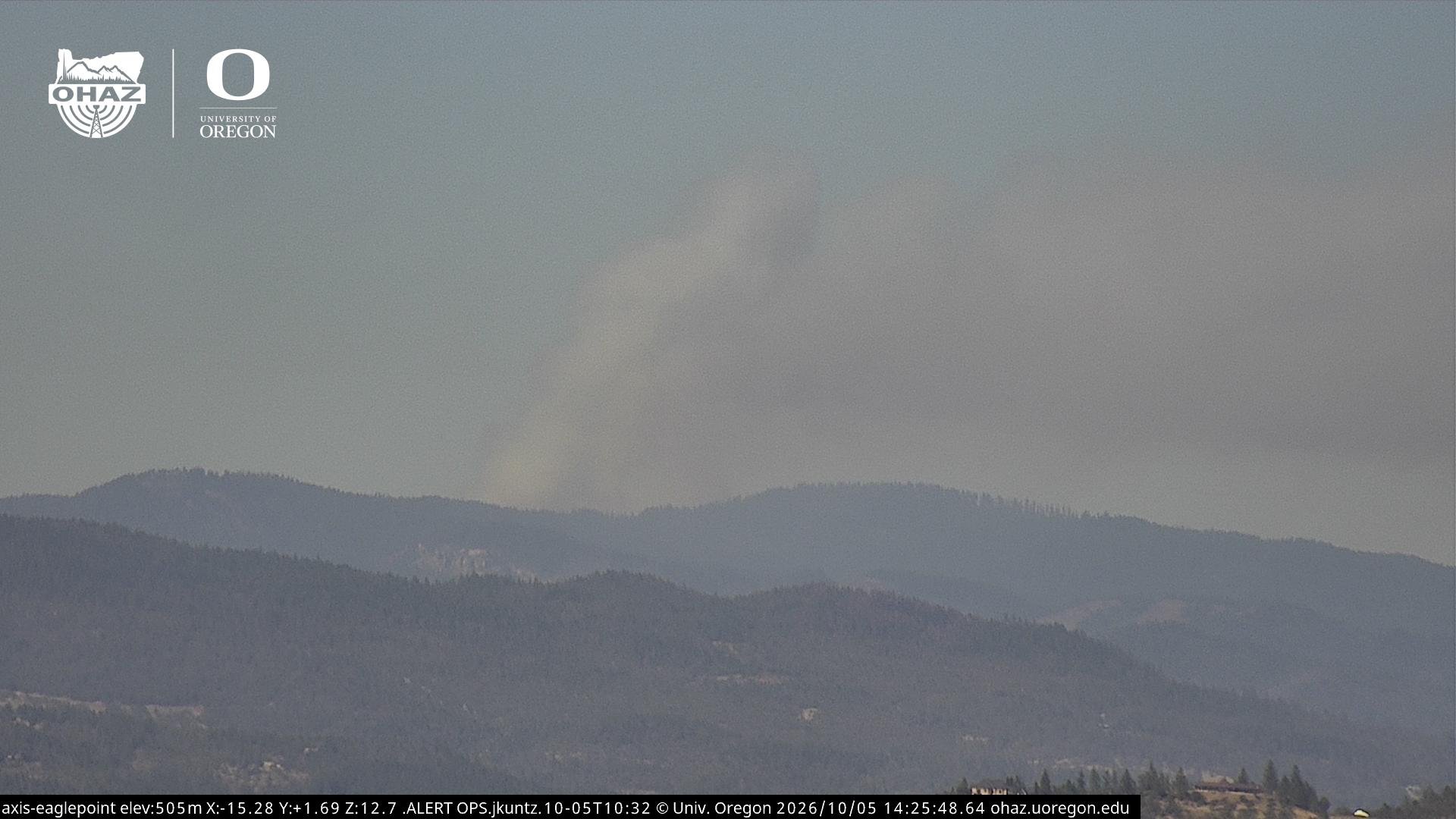
Cover Photo / Active Fire Behavior: Flames and heavy smoke burn through timber on the southwest side of the Wrights Spring Fire in Division G on Aug. 20. Wrights Spring Fire.
Fire Progression: A progression map shows how the Wrights Spring Fire expanded from Aug. 6 through Aug. 16, including the largest periods of growth during the first several days of the incident before fire spread slowed significantly. Wrights Spring Fire.
KLAMATH FALLS, Ore. - Firefighters have closed the last open edge of the Wrights Spring Fire, marking another major step toward securing the 54,492-acre fire as crews increasingly shift their attention toward deeper mop-up, hazard removal, and suppression repair.
The fire remains 55% contained with 799 personnel assigned, down substantially from staffing levels earlier in the incident. Fire officials said the fire grew 127 acres during the past 24 hours, but all of that growth occurred from burning within established containment lines and did not represent additional perimeter spread.
The most recent concern had been near the Swan Lake Point communication site, where renewed activity developed along the western side of the fire. Night crews were able to mop up and secure that edge, and Northwest Team 7 reported no significant concerns there Sunday morning.
Interior pockets of vegetation continue to burn and may produce visible smoke, but officials say those areas are not threatening control lines.


LAST OPEN EDGE SECURED
Firefighters have spent the past several days working directly along the western and southwest portions of the Wrights Spring Fire, gradually closing gaps that remained after the northern and eastern sides became secure.
Near Swan Lake Point, crews burned remaining fuels between the fire and established line that could have threatened containment. Overnight firefighters continued working that newest edge from the communication site south along the western perimeter.
Operations Section Chief Nate Crawford said the area was looking good Sunday morning.
“No real concerns up there last night,” Crawford said. “Everything with that newest fire’s edge and this interior island filling up is looking really good.”
Crews will continue increasing mop-up depth around that portion of the fire, working at least 25 feet or more inside the perimeter where conditions allow.
FIRE WORK SHIFTS TOWARD REPAIR
With containment holding across much of the fire, more resources are moving into suppression repair.
Crews are repairing roads damaged or heavily used during firefighting operations, stabilizing soil along interior dozer lines, chipping vegetation, and repairing sections of line where erosion could become a concern. Hazard trees are also being removed to maintain safe access for crews working deeper inside the fire.
In the northern divisions, much of the remaining work consists of minor road and soil stabilization projects. Along the eastern side, infrared mapping is being used to identify remaining heat while crews continue chipping and restoring containment lines.
The latest infrared map from Saturday night shows scattered and isolated heat throughout portions of the fire footprint, with concentrations still visible along parts of the western and southern areas.
EVACUATION LEVELS REDUCED IN SOME AREAS
Klamath County evacuation levels have been reduced significantly since Jefferson Firewatch’s last Wrights Spring update.
The latest evacuation information shows:
12 Level 3 (GO NOW) zones
17 Level 2 (Be Set) zones
40 Level 1 (Be Ready) zones
While some of the areas closest to the fire remain under evacuation orders or warnings, much of the broader evacuation footprint has now moved to Level 1 or been removed from evacuation status entirely.
Residents should continue checking their specific address through Genasys Protect as additional changes are made.
View the latest Wrights Spring Fire evacuation information and live map.
DRONE RESTRICTION REMAINS IN PLACE
The Temporary Flight Restriction over the Wrights Spring Fire remains active 24 hours a day until it is formally lifted.
Fire officials now say there have been multiple recent drone incursions over the incident and that they are coordinating with law enforcement and partner agencies. Unauthorized drones can force aerial firefighting operations to stop, removing helicopters and other aircraft from the fire while the drone remains in restricted airspace.

Seven helicopters remain assigned to the incident Sunday, along with 17 twenty-person crews, 34 engines, 35 water tenders, 13 dozers, three excavators, eight skidders, and three masticators.
I think this is about the right depth for today. The last open edge being closed is enough of a milestone to justify a new article after several quieter days, while the evacuation reductions and move into repair clearly show readers how much the incident has changed.


Keep Reading