
New Spot Fire, Rising Winds Expand Evacuations on East Evans Creek Fire
Four Zones at Level 3 as Smoke Limits Air Tankers and Crews Reinforce Lines Across the 7,843-Acre Incident

FAST FIRE FACTS
Name: East Evans Creek Fire
Location: Approximately seven miles west of Shady Cove
Acres: 7,843, latest mapped estimate
Containment: 5%, latest reported
Board Mountain spot fire: Approximately 1,000 acres
New activity: Additional spot fire detected east of Board Mountain
Evacuations: Four zones at Level 3; expanded Level 2 notices; Shady Cove at Level 1
Air operations: Smoke limited air tanker use; helicopters continued supporting ground crews
Structure response: Two additional task forces arrived from Marion and Clackamas counties
Current concerns: Increased winds, active spotting, critically dry fuels and difficult terrain
Shelter: Eagle Point Middle School, 477 Reese Creek Road
Cause: Vehicle crashed into a power pole; the cause of the crash remains under investigation
Updated: Wednesday night, July 15, 2026
An aerial view shows multiple smoke columns rising from active areas of the East Evans Creek Fire as crews worked across the incident Wednesday. (Oregon Department of Forestry)
Flames torch trees along a forested ridge as thick smoke rises from the East Evans Creek Fire during active burning Wednesday. (Photo by Jacob Helms)
SAMS VALLEY, Ore. — Fire activity increased across several portions of the East Evans Creek Fire Wednesday, prompting firefighters to reposition resources as a new spot fire developed east of Board Mountain and evacuation notices expanded toward Shady Cove.
Jackson County officials placed JAC-109, JAC-124, JAC-126 and JAC-149B at Level 3: Go Now. Eight additional zones were upgraded to Level 2: Be Set, while the entire city of Shady Cove was placed under a Level 1: Be Ready notice.
The fire remains last mapped at 7,843 acres and 5% containment. Oregon Department of Forestry officials did not release updated acreage or containment figures Wednesday night.
The Board Mountain spot fire remains estimated at approximately 1,000 acres. Firefighters held containment lines along its northern side and limited further spread in that direction, but a new spot fire east of Board Mountain was detected Wednesday afternoon.
Crews are working to slow the new fire, improve access and establish containment lines. Resources also remain engaged on several spot fires in the northeastern portion of the incident that were first detected late Monday night.


Smoke reduced visibility Wednesday and limited the use of air tankers. Helicopters continued working with crews on the ground to cool active areas, slow fire spread and support construction of fireline.
Winds were expected to increase Wednesday evening, potentially contributing to more active fire behavior before cooler temperatures, higher humidity and a stronger inversion develop overnight.
Fire officials also held a community meeting Wednesday evening in Shady Cove, providing residents with updates on suppression efforts, structure protection and the rapidly changing evacuation notices.
A dozer stands ready to build and reinforce fireline as a helicopter carries a water bucket through smoke above the East Evans Creek Fire. (Oregon Department of Forestry)
NEW SPOT FIRE DETECTED EAST OF BOARD MOUNTAIN
Spot fires continued challenging firefighters Wednesday across the eastern and northeastern portions of the incident.
Crews held containment lines along the northern side of the approximately 1,000-acre Board Mountain spot fire, limiting its spread to the north.
A new spot fire was detected east of Board Mountain Wednesday afternoon. Firefighters and equipment were assigned to the area to limit its growth and begin constructing containment line.
Resources also remained engaged on several northeastern spot fires detected late Monday night.
Firefighters will continue working overnight to build line around the spots, reinforce existing control features and watch for additional ignitions outside the perimeter.
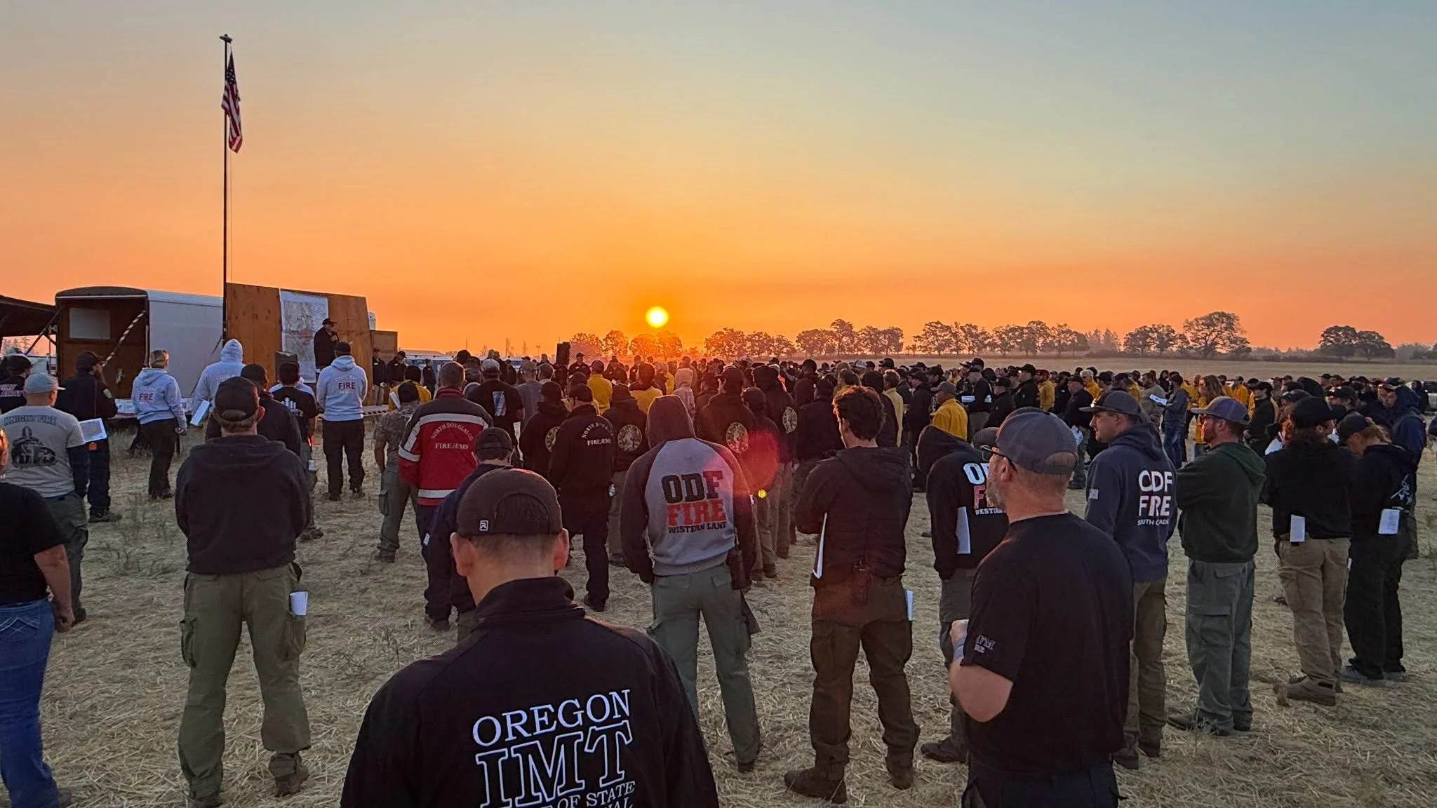
Firefighters and incident management personnel gather at sunrise for the morning operational briefing at East Evans Creek Fire camp. (Oregon State Fire Marshal)
SOUTHERN LINES HOLD AS MOP-UP EXPANDS
On the southeast side of the main fire, crews continued holding existing containment lines.
Firefighters expanded mop-up operations to approximately 50 feet inside the fire’s edge and around homes. Mop-up involves extinguishing residual heat, burning material and hidden hot spots that could reignite or throw embers across control lines.
Crews will continue reinforcing those areas overnight while monitoring for new spot fires.
FIRE BACKS TOWARD WEST FORK EVANS CREEK ROAD
Fire activity increased in portions of the southwest side of the incident Wednesday, with the fire backing downhill.
Crews are preparing control lines intended to hold the fire at West Fork Evans Creek Road.
Elsewhere on the western side, firefighters are evaluating opportunities to connect roads, natural features and constructed firelines into a stronger long-term containment system.
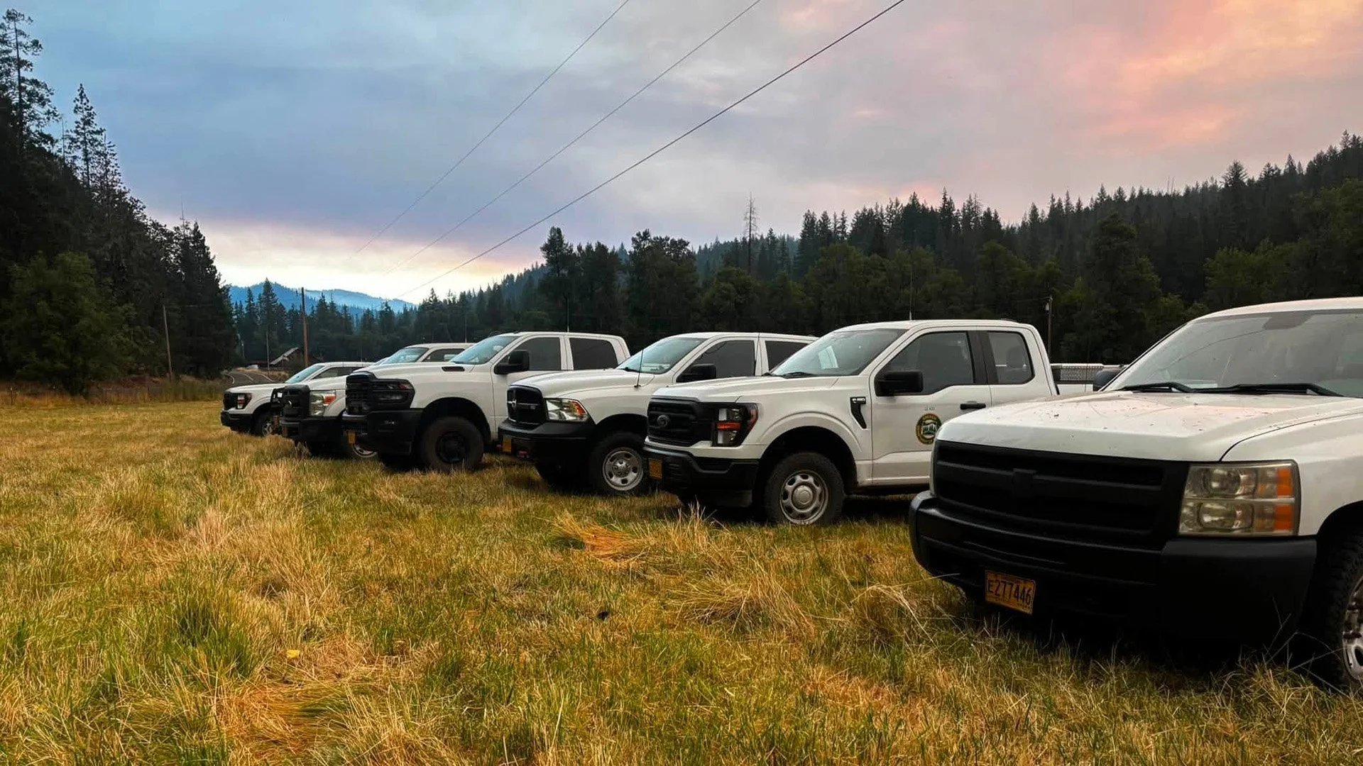
A CAL FIRE Siskiyou Unit vehicle is positioned on the East Evans Creek Fire as a helicopter conducts bucket operations overhead. The unit is among the outside agencies answering the call for assistance. (CAL FIRE)
STRUCTURE PROTECTION EXPANDS EAST
Protecting homes remains a priority for Oregon Department of Forestry and Oregon State Fire Marshal resources.
As operational needs shifted east, incident managers established another structure-protection division beyond the eastern side of the Board Mountain spot fire.
Crews began assessing properties, evaluating access and developing protection plans for homes that could be threatened if fire activity increases.
Two additional structural task forces from Marion and Clackamas counties arrived Wednesday afternoon. The added resources increase the number of firefighters available for structure preparation, point protection and response to new spot fires near homes.
OSFM crews continue working throughout the Evans Creek corridor and surrounding communities to improve defensible space, conduct structure triage, monitor embers and support mop-up operations.
SMOKE LIMITS AIR TANKER OPERATIONS
Heavy smoke reduced visibility over the fire Wednesday and limited the use of air tankers.
Helicopters continued operating where conditions allowed, working with ground resources to cool active areas, slow fire spread and assist crews constructing and improving fireline.
Additional firefighters and equipment continue arriving and are being assigned to priority areas as operational needs change.
WINDS COULD INCREASE FIRE ACTIVITY OVERNIGHT
Winds were forecast to increase Wednesday evening, raising the possibility of more active burning and additional spotting.
Conditions are expected to moderate later overnight as temperatures cool, humidity rises and a stronger inversion develops.
Firefighters will remain prepared for changing conditions and continue building containment lines around spot fires and active portions of the main perimeter.
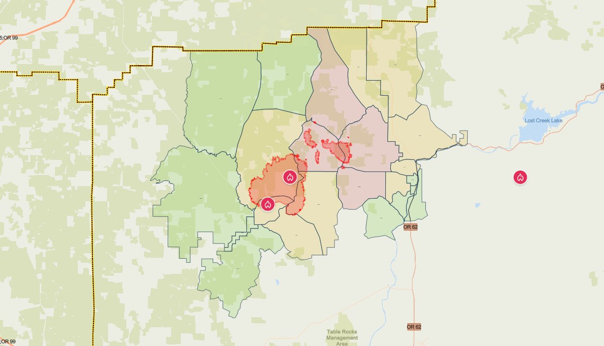
The latest evacuation map showing level 1, 2, and 3 evacuations due to the East Evans Creek Fire. Residents should use the interactive Genasys map to check current conditions for a specific address. (Jackson County Sheriff’s Office/Jackson County Emergency Management)
EXPANDED EVACUATION LEVELS
Jackson County Sheriff’s Office and Jackson County Emergency Management issued multiple evacuation upgrades Wednesday night.
Level 3: Go Now
JAC-109
JAC-124
JAC-126
JAC-149B
Deputies are conducting door-to-door notifications in newly upgraded areas.
JAC-126 includes areas near West Fork Trail Creek and Cabin Creek. JAC-149B includes areas near the north end of Long Branch Road.
Residents in Level 3 zones should leave immediately.
Level 2: Be Set
JAC-016
JAC-017
JAC-111
JAC-112
JAC-127
JAC-131
JAC-132
JAC-133
JAC-134
JAC-147
JAC-148
JAC-149A
Level 1: Be Ready
JAC-003
JAC-004
JAC-014
JAC-026
JAC-036
JAC-158
SHC-151
SHC-152
SHC-153
SHC-154
SHC-156
SHC-157
SHC-158
A regional map of southwest Oregon shows the East Evans Creek Fire evacuation area in relation to Medford, Central Point, Grants Pass and surrounding communities. (Watch Duty)
The SHC zones place the city of Shady Cove under a Level 1: Be Ready notice.
Residents should monitor official alerts closely. Mapping platforms may update at different times as evacuation levels change.

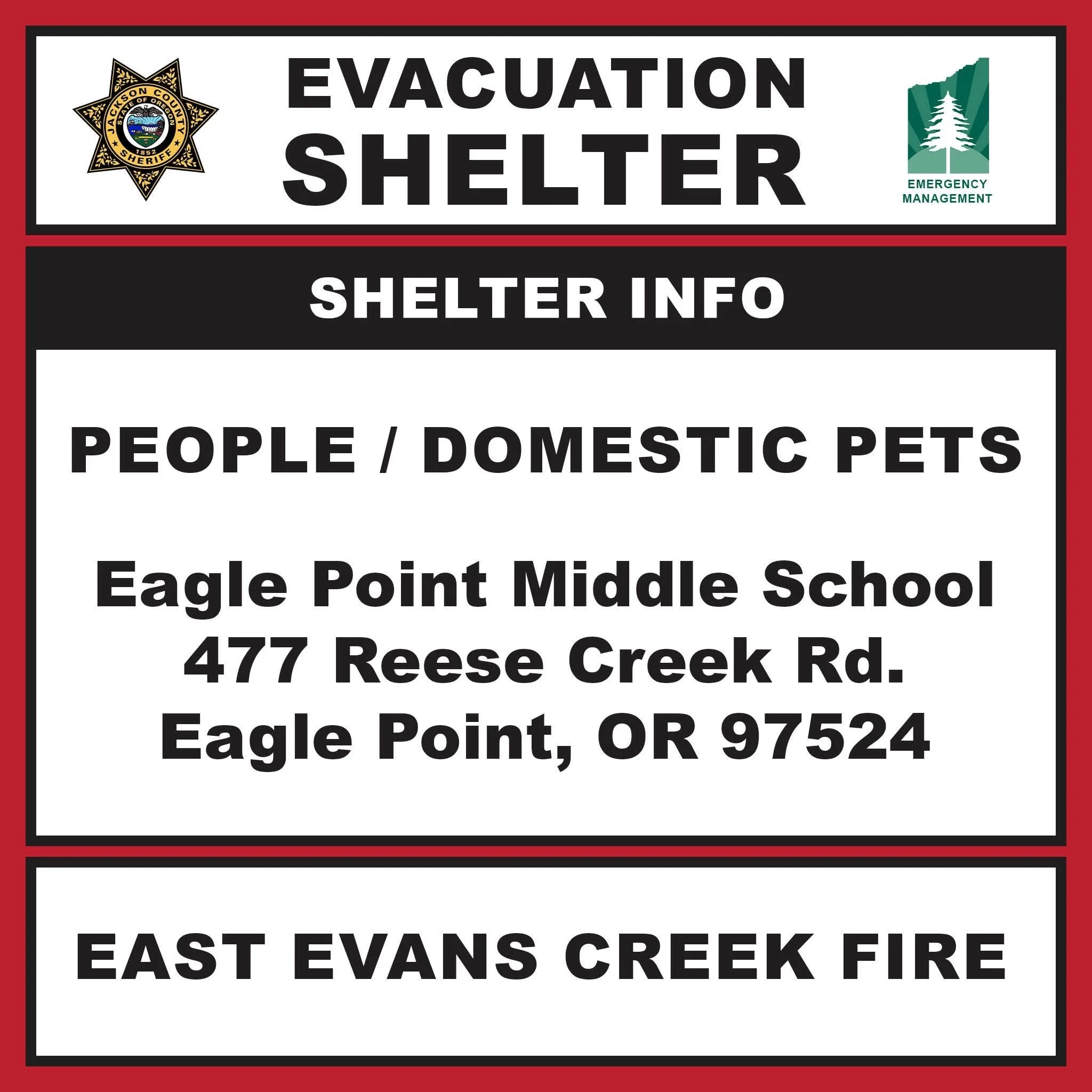
EVACUATION SHELTER IN EAGLE POINT
The evacuation shelter for residents and domestic pets is located at:
Eagle Point Middle School
477 Reese Creek Road, Eagle Point, OR 97524
The previous shelter at Hanby Middle School in Gold Hill is closed.
Pets are welcome at the Eagle Point shelter but are not permitted inside the school building. The American Red Cross is providing an area on the property for domestic pets.
People needing additional medical assistance or livestock sheltering help should call 541-776-7206.
Horses may be taken to:
Jackson County Expo
21 Peninger Road, Central Point
Owners should call before arriving to confirm space is available.

BLM, ROAD AND AIRSPACE CLOSURES
BLM-administered lands near the East Evans Creek Fire remain closed to public entry. Hunting, hiking and camping are prohibited within the closure area.
East Evans Creek Road remains closed to public traffic at Meadows Road.
A 24-hour temporary flight restriction remains in place over the incident. Flying a drone near the fire is illegal and may force firefighting aircraft to suspend operations.
SMOKE IMPACTS
Smoke may settle into valleys and other low-lying areas, reducing visibility and affecting air quality in nearby communities.
Conditions can change as winds shift. People sensitive to smoke should limit exposure and monitor current air-quality information and smoke forecasts.
The East Evans Creek Fire began at approximately 2:41 p.m. Friday, July 10, after a vehicle crashed into a power pole and ignited dry vegetation. The Jackson County Sheriff’s Office continues investigating the cause of the crash.
Cover image: A dense smoke column rises from the East Evans Creek Fire above forested terrain Wednesday as increased fire activity and spot fires challenged crews across the incident. (Photo by Mike Harsha)


More Firewatch
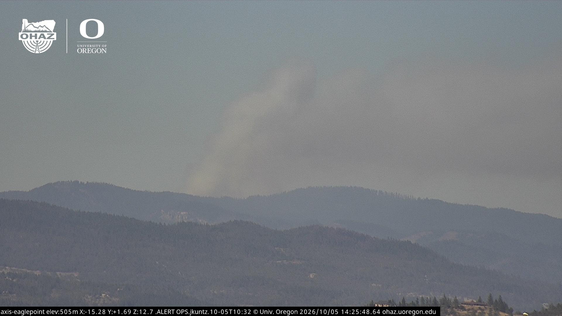




ODF Southwest Oregon’s 4 Alpha Fox helicopter has completed its 75-day seasonal contract after introducing approved night-vision wildfire flights this year. One recent after-dark mission located three lightning-caused fires.