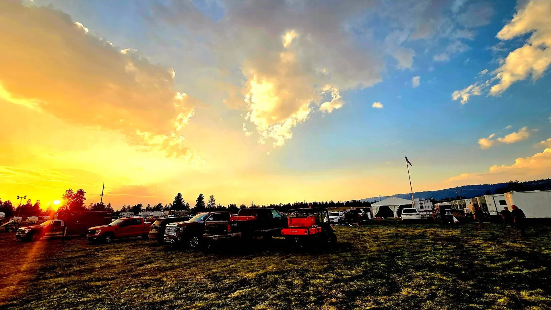
Crews deepen mop-up and reduce structure resources as abundant lightning and erratic wind gusts threaten firelines Wednesday.

FAST FIRE FACTS
Name:
East Evans Creek Fire
Location:
About 7 miles west of Shady Cove
Acres: 15,705
Containment: 26%
Overnight Growth:
None reported
Mop-Up:
Up to 100–150 feet in some areas
Evacuations:
Level 1 and 2 remain all previous Level 3 have been downgraded.
Weather:
Red Flag Warning for lightning and gusts up to 45 mph
Cause:
Vehicle crash into a power pole
Latest Maps:
View current fire maps
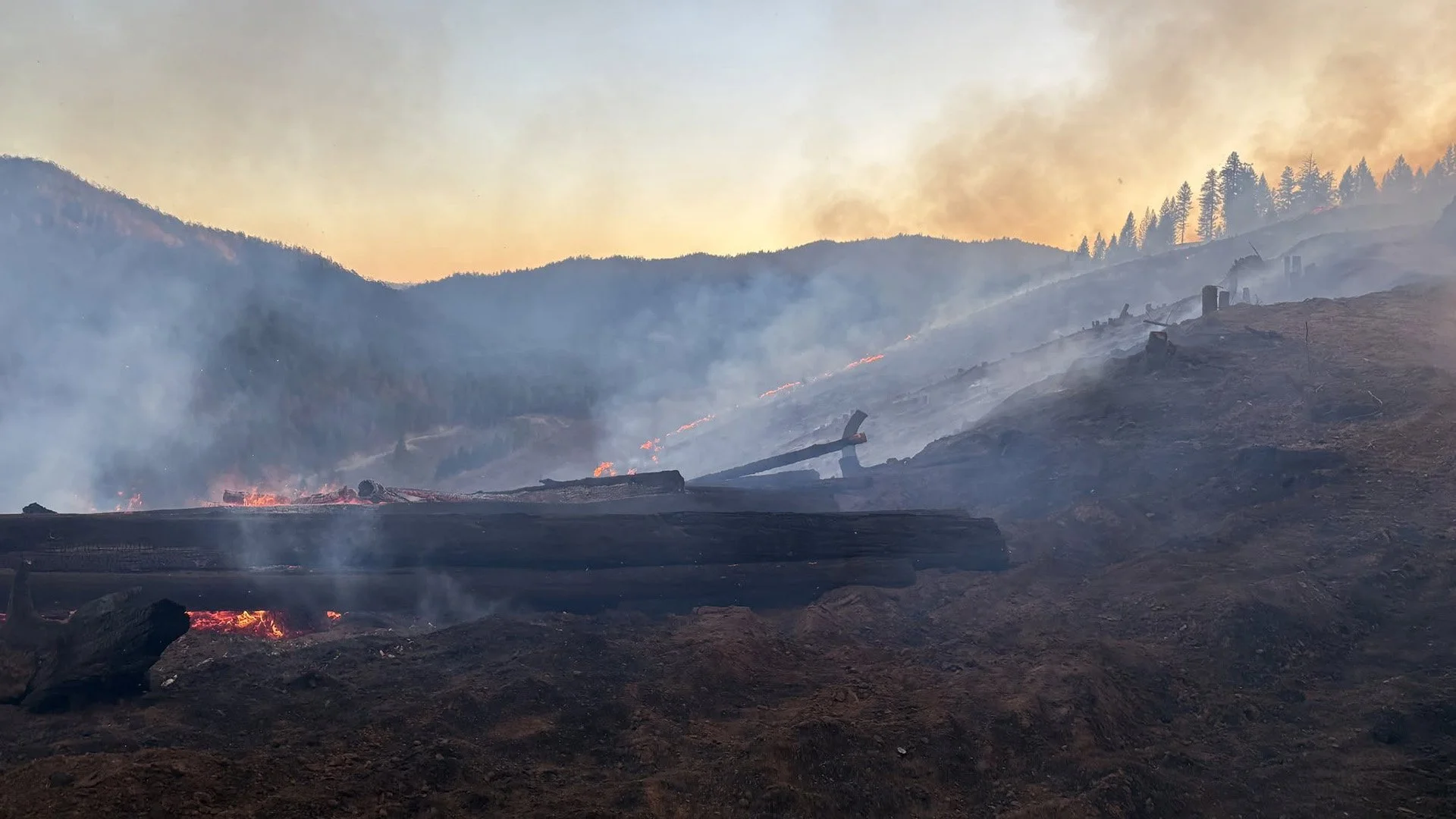
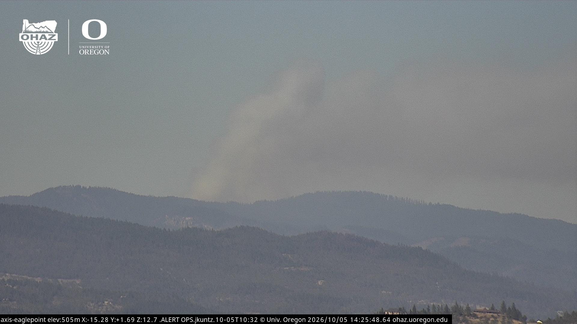
Cover image: Smoke lingers over portions of the East Evans Creek Fire as crews hold the incident at 15,705 acres and continue deep mop-up ahead of thunderstorms, abundant lightning and potentially erratic winds Wednesday. (Oregon Department of Forestry)
SAMS VALLEY, Ore. — The East Evans Creek Fire remained at 15,705 acres overnight with no new growth reported, as firefighters continued extinguishing hot spots and strengthening containment ahead of potentially challenging thunderstorms Wednesday.
Containment remains at 26%.
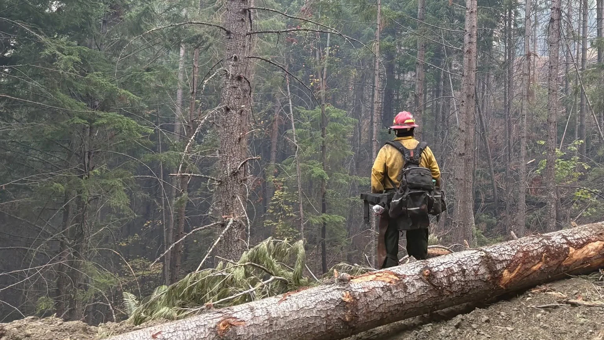
After multiple shifts of aggressive mop-up, crews are now reaching approximately 100 to 150 feet inside portions of the fire perimeter while using handheld infrared equipment to identify heat that remains hidden beneath vegetation and debris.
Progress across the incident has significantly reduced the threat to homes, allowing the Oregon State Fire Marshal to reduce the number of structural task forces assigned to the fire.
At the same time, fire managers are preparing for a potentially volatile weather day.
A Red Flag Warning is in effect from 11 a.m. to 11 p.m. Wednesday for abundant lightning over dry fuels. Thunderstorms could bring erratic winds with gusts as high as 45 mph, heavy rain in some areas and dry lightning capable of starting new fires elsewhere.
NO OVERNIGHT GROWTH REPORTED
Night crews continued working around the main fire and associated spot fires, extinguishing remaining heat and increasing the depth of mop-up behind established control lines.
Handheld infrared tools were used around the Hull Mountain spot fire and along the main fire from the southern control line to the northeast corner.
Hot spots identified overnight were marked for daytime crews to extinguish Wednesday.
Fire managers said the fire continues to hold at 15,705 acres.


BOARD MOUNTAIN MOP-UP REACHES DEEPER INTO FIRE
Crews continue working around the entire perimeter of the Board Mountain spot fire, with particular attention on the northeast portion.
Additional hazardous and fire-weakened trees must be removed before firefighters can safely work in some areas.
Elsewhere around Board Mountain, mop-up has reached approximately 100 to 150 feet inside the fire perimeter.
Removing remaining heat and eliminating hazardous trees helps reduce the chance that fire could rekindle near established control lines.
CANYON CREEK AND HULL MOUNTAIN WORK CONTINUES
Firefighters continue extinguishing scattered hot spots on the Canyon Creek spot fire west of Shady Cove.
Northwest of Hull Mountain, crews are also pushing deeper into the burned area while targeting residual heat identified with infrared equipment.
Structure protection engines continue supporting suppression work in steep terrain where moving water remains difficult.
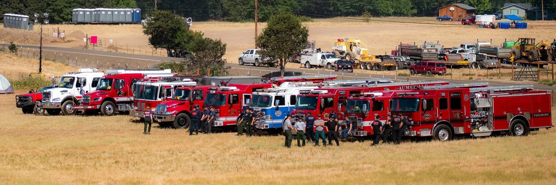
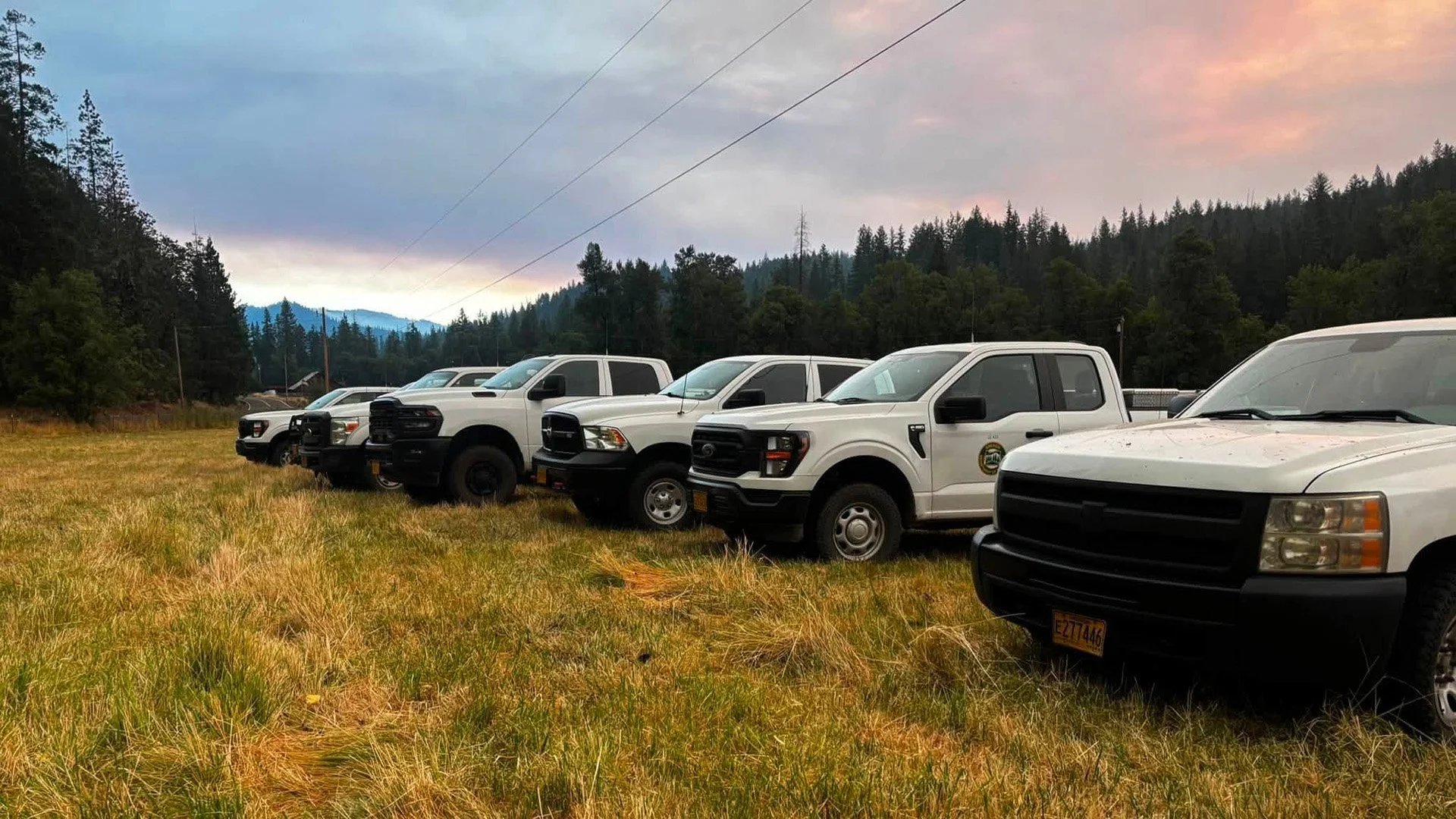
With the threat to homes significantly reduced, some structural task forces assigned to the East Evans Creek Fire are being released or reassigned while remaining resources continue patrols and mop-up around affected communities. (Oregon Department of Forestry)
FEWER STRUCTURE TASK FORCES NEEDED
The reduced threat to homes has allowed the Oregon State Fire Marshal to strategically decrease the number of structural task forces assigned to the incident.
Remaining structure resources will continue strengthening mop-up around homes, patrolling neighborhoods and maintaining a presence where protection is still needed.
The reduction reflects continued progress around communities that were threatened earlier in the incident.
MORE FIREFIGHTERS SHIFT TO DAY OPERATIONS
Some wildland firefighters who had been assigned to overnight operations are transitioning to day shift Wednesday.
The change puts additional firefighters on the line during the hottest and potentially most active portion of the day.
Fire officials said the shift reflects both the progress made across the incident and the need to position resources strategically ahead of incoming thunderstorms.
RED FLAG WARNING BRINGS MULTIPLE THREATS
The July 22 smoke outlook forecasts generally good to moderate air quality across much of Southern Oregon, with more noticeable smoke possible near Shady Cove and areas closest to the East Evans Creek Fire. (Interagency Wildland Fire Air Quality Response Program)
Wednesday’s weather could test the progress firefighters have made.
The National Weather Service has issued a Red Flag Warning from 11 a.m. to 11 p.m. for abundant lightning on dry fuels across much of Jackson County, including the East Evans Creek Fire.
If thunderstorms develop, winds could reach approximately 20 mph with erratic gusts as high as 45 mph.
Those winds could challenge established firelines and increase spotting potential.
Firefighters will monitor the perimeter closely and respond aggressively to any new spots or areas where fire threatens control lines.
LIGHTNING COULD START NEW FIRES
Not every thunderstorm is expected to produce meaningful rainfall.
Lightning with little or no rain remains possible, creating the potential for new wildfire starts across critically dry vegetation.
Specific resources from the East Evans Creek Fire have been designated to assist the local ODF district with initial attack if new fires are reported.
Aircraft will also remain available for use where needed.
HEAVY RAIN COULD CREATE DIFFERENT HAZARDS
Some storms may produce heavy rainfall.
While rain can help moderate fire behavior, intense precipitation over burned terrain can create new hazards for firefighters.
Water, mud, rocks, branches and other debris can move rapidly through steep burned areas during heavy rain.
No flash flood warnings are currently in effect, but crews will remain alert for changing conditions.

LATEST FIRE MAPS
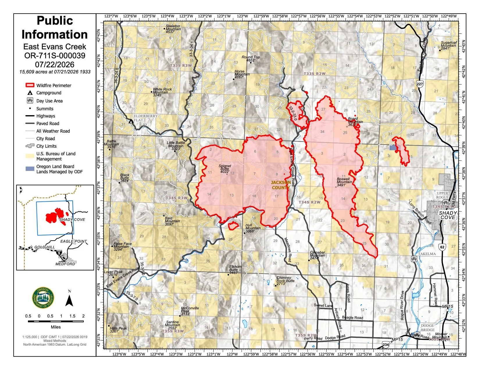
The July 22 public information map places the East Evans Creek Fire at 15,705 acres and shows the main fire, associated spot-fire areas and the extensive network of control lines established around the incident. (Oregon Department of Forestry) View all current maps on the East Evans Creek Fire Maps page.
The East Evans Creek Fire remains mapped at 15,705 acres, with no new overnight growth reported by fire personnel Wednesday morning.
The latest official maps show the main fire and associated spot-fire areas around Board Mountain, Canyon Creek and northwest of Hull Mountain, along with the extensive network of control lines established across the incident.
Firefighters continue using handheld infrared technology to identify remaining heat and guide mop-up operations.
View the complete collection of current public information, operations, briefing, infrared, evacuation and incident action maps on the East Evans Creek Fire Maps page.
FIRE WEATHER
A Red Flag Warning is in effect Wednesday for abundant lightning on dry fuels, with thunderstorms and erratic winds capable of challenging firelines and starting new fires across the region. (Jefferson Weather / National Weather Service)
A Red Flag Warning is in effect from 11 a.m. to 11 p.m. Wednesday for abundant lightning on dry fuels.
Potential hazards include:
Numerous thunderstorms
Lightning with little or no rainfall
Winds around 20 mph
Erratic gusts up to 45 mph
New lightning-caused fire starts
Heavy rainfall in some storms
Strong, shifting winds could test established containment lines and increase spotting potential.
Heavy rain could also create hazardous runoff or debris movement across steep burned terrain.
Fire managers have designated resources to assist with new fire starts elsewhere in southwest Oregon if necessary.
FIRE DANGER
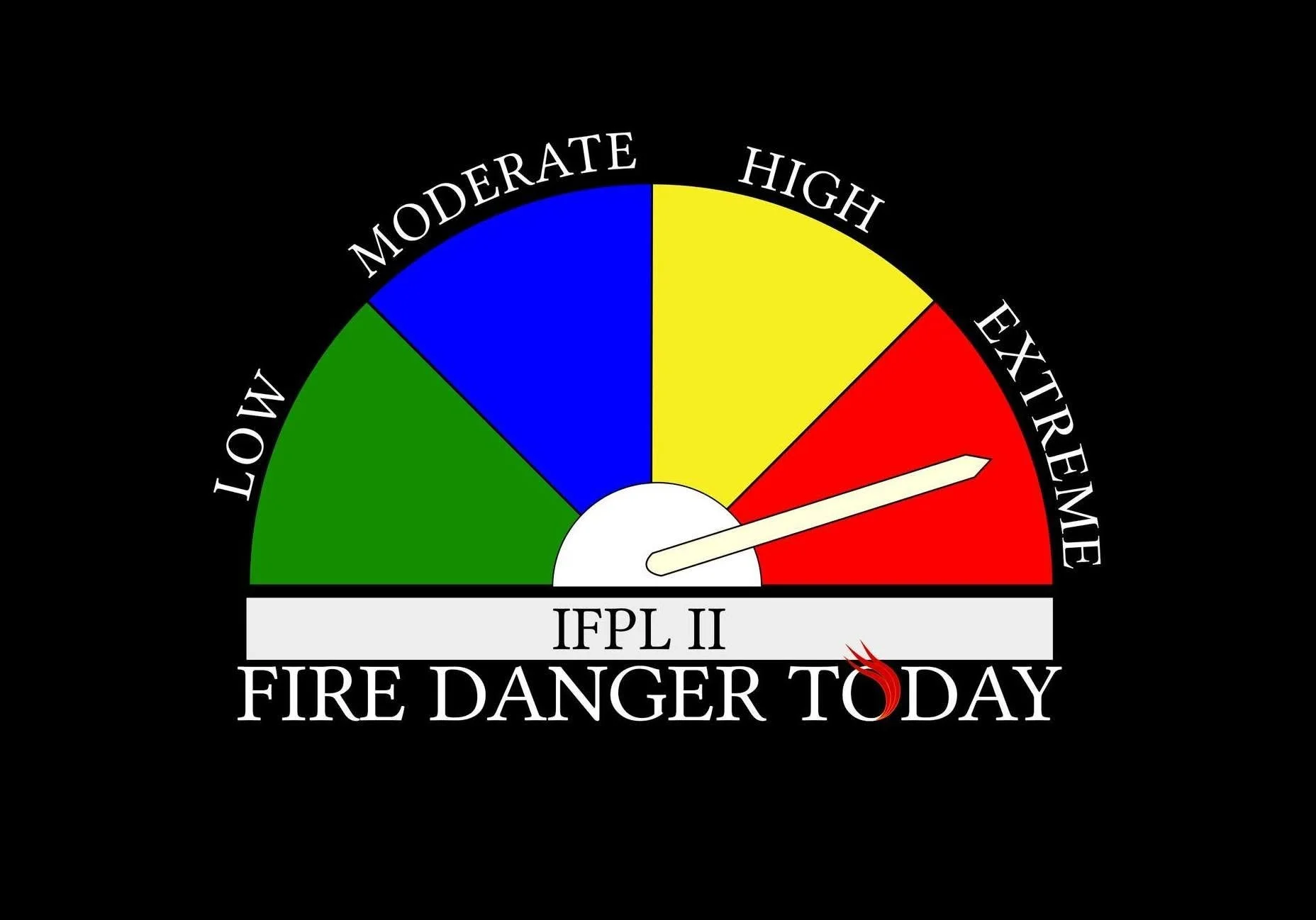
Extreme fire danger remains in effect on Oregon Department of Forestry-protected lands across Jackson and Josephine counties.
Restrictions remain in place on activities capable of producing sparks or igniting dry vegetation.
Wednesday’s lightning threat creates an additional concern for new starts, particularly in areas that receive little or no rainfall.
Residents should immediately report any new smoke or fire by calling 911..
EVACUATION LEVELS
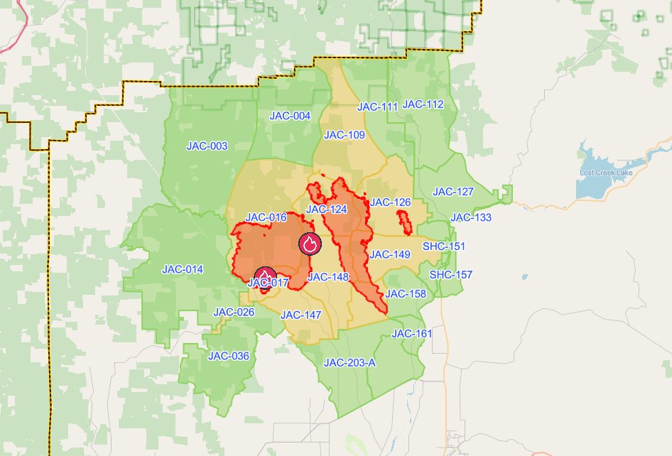
The latest evacuation map showing level 1, 2, and 3 evacuations due to the East Evans Creek Fire. Residents should use the interactive Genasys map to check current conditions for a specific address. (Project Genasys)
There are no Level 3 “Go Now” evacuation zones remaining on the East Evans Creek Fire.
Level 1 and Level 2 notices remain in portions of Jackson County.
Douglas County has lifted all evacuation notices associated with the incident.
Evacuation levels can still change quickly if thunderstorms, strong winds or renewed fire activity threaten containment lines.
Residents should continue checking official Jackson County evacuation information for their current zone.
EVACUATION SHELTER
The American Red Cross shelter at Eagle Point Middle School is no longer accepting new evacuees as evacuation levels continue to decrease.
The Red Cross will continue assisting current shelter residents with their transition.
Anyone who still needs sheltering assistance should contact:
Non-Emergency Dispatch: 541-776-7206
CLOSURES
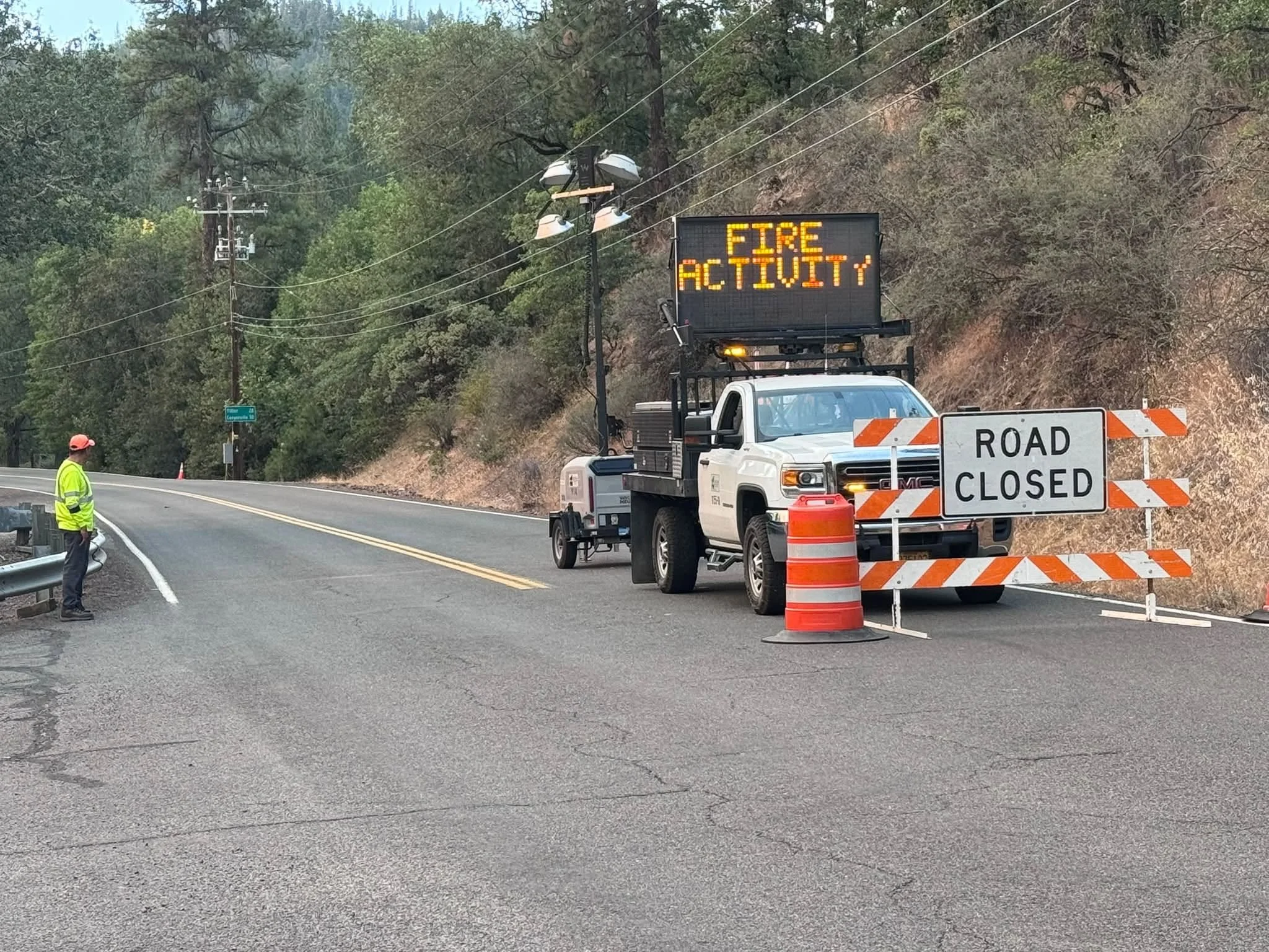
A Jackson County Roads employee staffs a closure as an electronic sign warns drivers of nearby fire activity. (Courtesy Jackson County Parks)
Fire-related road and land closures remain in effect.
ODF continues to list:
East Evans Creek Road at Meadows Road
West Fork Evans Creek Road
Rock Creek Road
Other access restrictions remain around the fire area to protect firefighters, heavy equipment operators and residents.
BLM-administered lands near the East Evans Creek Fire remain closed to public entry, including hunting, hiking and camping.
A 24-hour Temporary Flight Restriction remains in effect over the incident.
Flying a drone near the fire is illegal and can force firefighting aircraft to suspend operations.


More Firewatch