Improved mapping lowers the fire to 15,580 acres as crews deepen mop-up and prepare for a new incident management team MondaY

FAST FIRE FACTS
Name: East Evans Creek Fire
Location: About 7 miles west of Shady Cove
Acres: 15,580
Containment: 46%
Growth: No new perimeter growth reported
Current Focus: Deep mop-up, patrol and hazard-tree removal
Aircraft: Seven helicopters assigned
Night Operations: Transitioning to patrol
Command: Florida team assumes control Monday at 6 a.m.
Latest Maps: View current fire maps
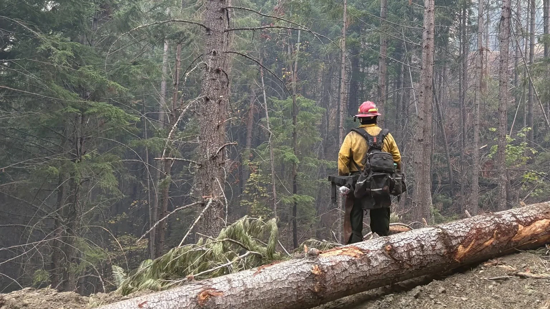
A firefighter works among burned timber as crews remove hazardous trees that could threaten personnel, roadways or secured firelines. (Oregon Department of Forestry)
SAMS VALLEY, Ore. — Containment on the East Evans Creek Fire has increased to 46% as firefighters continue securing the perimeter and prepare to transition overnight operations from active mop-up to patrol.
Improved field mapping has also reduced the official fire size to 15,580 acres, down 125 acres from the previous estimate of 15,705 acres.
The change reflects more accurate perimeter data and does not mean the burned area physically shrank.
Firefighters held established lines through another day of critical fire weather Friday, when temperatures reached the low 90s and relative humidity fell to approximately 15%.
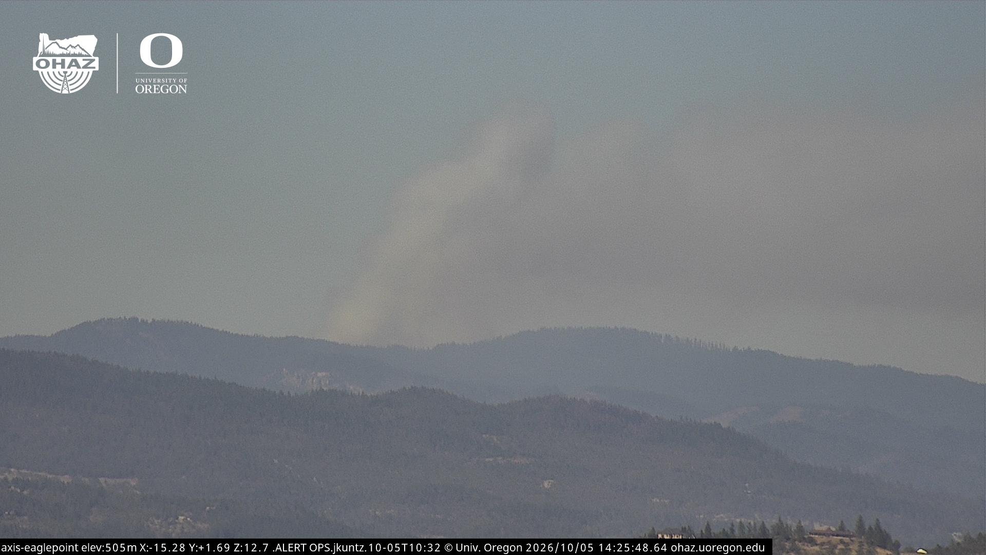
Smoke remained visible from some areas well inside the perimeter, where islands of unburned vegetation continue creeping and smoldering. Fire officials said those interior areas do not currently threaten containment.


NIGHT OPERATIONS SHIFT TO PATROL
Overnight crews continued mopping up near control lines and gridding the fire for visible smoke and hidden heat.
Beginning Saturday night, overnight operations will transition to patrol status.
Rather than maintaining the same level of active nighttime suppression, firefighters will monitor the perimeter and check for any renewed fire activity near established lines.
The transition reflects the progress crews have made securing the fire over the past two weeks.
MOP-UP CONTINUES AROUND ENTIRE PERIMETER
Daytime operations remain focused on increasing the depth of mop-up around the fire.
Crews are systematically searching for heat, smoke and smoldering material that could threaten control lines.
Firefighters are also cutting hazardous trees along the fire edge and near roadways. Removing fire-weakened trees reduces the risk to crews, residents and drivers moving through affected areas.
Interior portions of the fire are expected to continue producing occasional smoke as isolated pockets of fuel burn within the established perimeter.
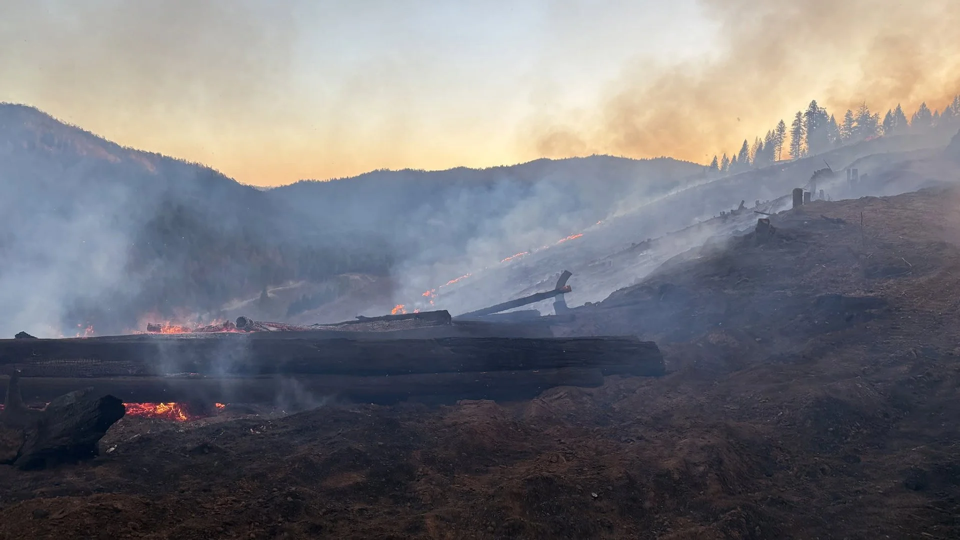
Cover photo: A firefighter extinguishes lingering heat on steep terrain as crews continue deepening mop-up and securing the East Evans Creek Fire perimeter. (Oregon Department of Forestry)
MAPPING REFINEMENT LOWERS ACREAGE
Updated field information has revised the East Evans Creek Fire to 15,580 acres.
The previous official acreage was 15,705.
Fire acreage frequently changes as crews and mapping specialists gather more precise information from the ground, aircraft and geographic data systems.
Saturday’s 125-acre reduction is the result of improved mapping accuracy rather than a change in fire behavior.
Helicopters remain staged and ready to support the East Evans Creek Fire, where seven aircraft are assigned for reconnaissance, water drops and potential response to new fire starts. (Oregon Department of Forestry)
SEVEN HELICOPTERS REMAIN ASSIGNED
Seven helicopters remain assigned to the East Evans Creek Fire.
Aircraft are available for aerial reconnaissance, intelligence gathering and water drops in support of firefighters on the ground.
Those helicopters and other resources assigned to the incident may also assist local agencies with new fire starts if needed.
WEATHER STILL CAPABLE OF RAPID FIRE SPREAD
Conditions are expected to improve slightly Saturday, but the fire environment remains dry and capable of supporting rapid growth.
Temperatures are forecast in the upper 80s with improved relative humidity and shifting winds.
While those conditions are less severe than Friday, dry and receptive vegetation remains a concern. Any new ignition could spread quickly before firefighters arrive.
Resources from the East Evans Creek Fire remain available to support initial attack elsewhere in the area.
A heavily burned tree illustrates the hazards remaining inside the East Evans Creek Fire, where crews continue checking for hidden heat and removing weakened trees during mop-up. (Oregon Department of Forestry)
HEAVY FIRE TRAFFIC CONTINUES
Residents and visitors should continue using caution on roads around the incident.
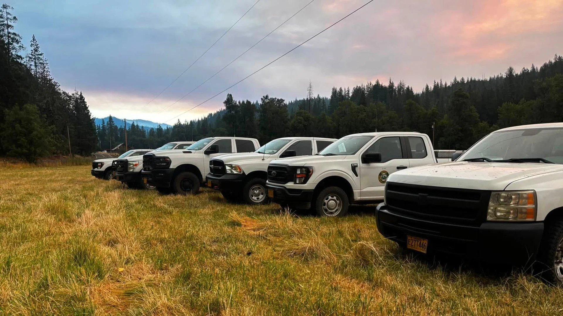
Fire engines, heavy equipment and support vehicles remain active as crews patrol the perimeter, deepen mop-up and remove hazardous trees.
Drivers should slow down and give firefighters and equipment enough room to work safely.

COMMAND TRANSITION SET FOR MONDAY
Oregon Department of Forestry Complex Incident Management Team 1 will transition command of the East Evans Creek Fire to a Florida Complex Incident Management Team at 6 a.m. Monday.
The incoming team will assume responsibility for continuing suppression, mop-up, patrol and repair operations.
Transitions between incident management teams are common during extended wildfires and allow the response to continue while personnel who have worked long assignments rotate out.
LATEST FIRE MAPS
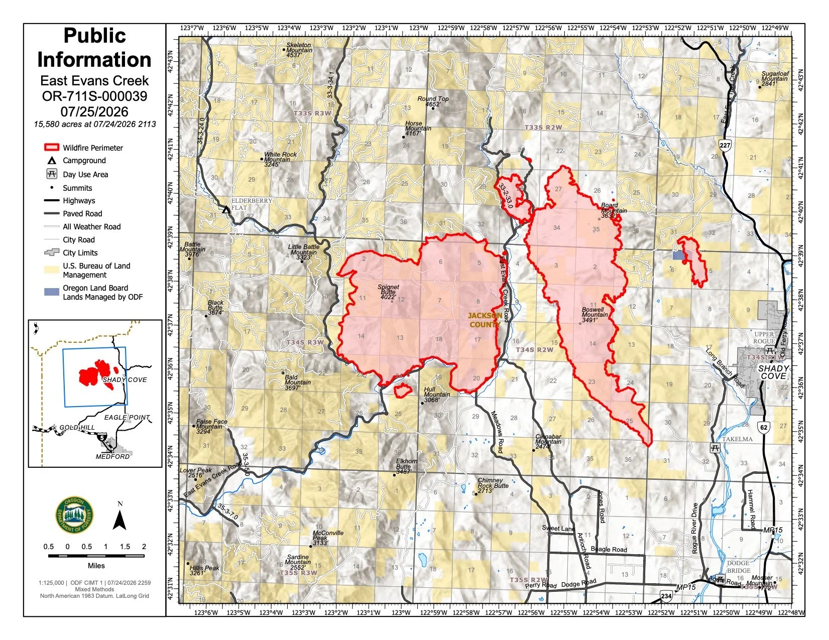
Updated mapping for July 25 places the East Evans Creek Fire at 15,580 acres. (Oregon Department of Forestry) View all current maps on the East Evans Creek Fire Maps page.
Improved field mapping has revised the East Evans Creek Fire to 15,580 acres, a reduction of 125 acres from the previous estimate.
The revised figure reflects more accurate perimeter information and should not be interpreted as the fire physically shrinking.
Current maps continue to show the main fire and associated spot-fire areas surrounded by an extensive network of control lines.
As suppression work moves deeper into mop-up and patrol, mapping continues helping crews identify remaining heat, coordinate repair work and track secured sections of the perimeter.
FIRE WEATHER
Firefighters successfully held control lines through Friday’s critical conditions, including temperatures in the low 90s and humidity near 15%.
Saturday is expected to bring:
Temperatures in the upper 80s
Improved relative humidity
Shifting winds
Continued elevated fire conditions
Dry fuels capable of supporting rapid spread
Conditions may be less severe than Friday, but vegetation remains highly receptive to ignition.
Any new smoke or fire should be reported immediately by calling 911.
FIRE DANGER

Extreme fire danger remains in effect on Oregon Department of Forestry-protected lands across Jackson and Josephine counties.
Dry vegetation can ignite easily and allow new fires to spread rapidly.
Restrictions remain in place on activities capable of producing sparks or igniting cured fuels.
Residents should continue using extreme caution with vehicles, equipment and outdoor activities.
EVACUATION LEVELS
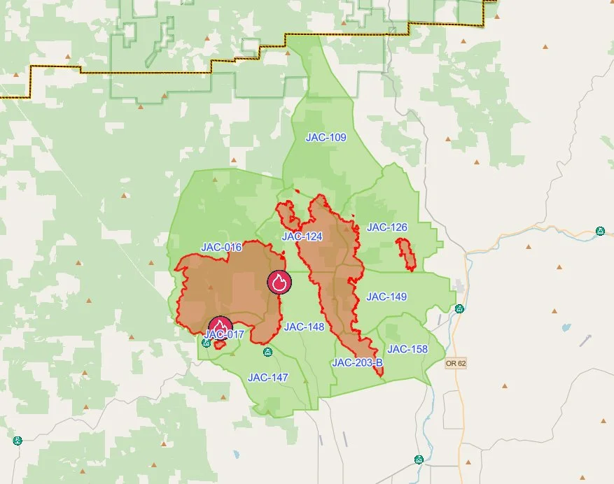
The latest evacuation map showing level 1 evacuations of the East Evans Creek Fire. Residents should use the interactive Genasys map to check current conditions for a specific address. (Project Genasys)
Evacuation notices remain active in portions of Jackson County.
No new evacuation changes were announced in Saturday morning’s ODF update.
There are no Level 3 evacuation zones remaining, and Douglas County has lifted all notices associated with the fire.
Residents should continue checking official Jackson County emergency information for the current status of their zone.
Firefighters and heavy equipment remain active throughout affected areas, even where evacuation levels have been reduced.
EVACUATION SHELTER
The American Red Cross shelter at Eagle Point Middle School is no longer available to residents.
The Red Cross continues assisting people who need help transitioning home or securing other arrangements.
Anyone requiring sheltering assistance should contact:
Non-Emergency Dispatch: 541-776-7206
CLOSURES
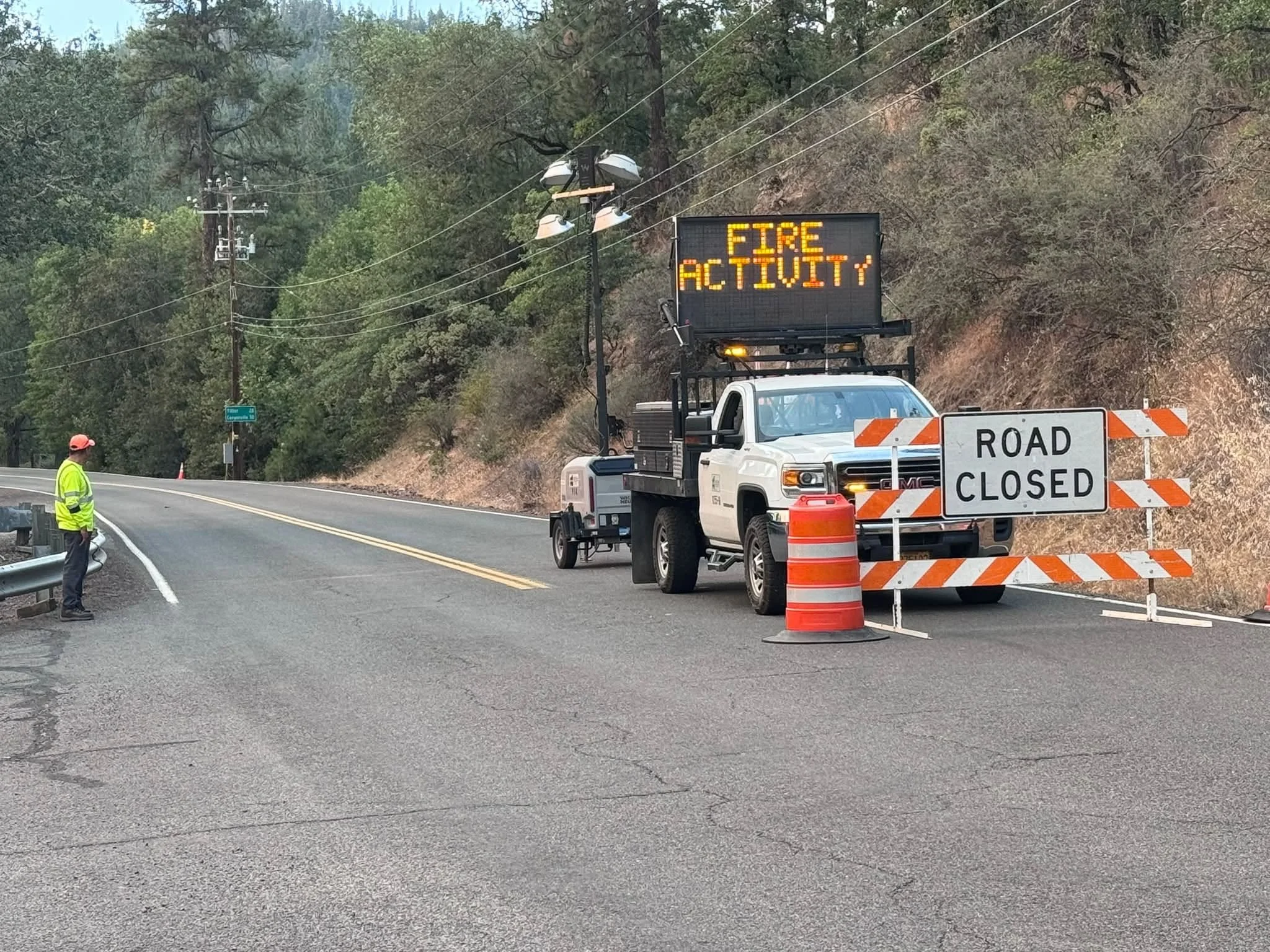
A Jackson County Roads employee staffs a closure as an electronic sign warns drivers of nearby fire activity. (Courtesy Jackson County Parks)
Fire-related road and land closures remain in effect.
ODF continues to list:
East Evans Creek Road at Meadows Road
West Fork Evans Creek Road
Rock Creek Road
Heavy fire traffic remains throughout portions of the incident area. Drivers should travel cautiously and give crews room to work.
BLM-administered lands near the East Evans Creek Fire remain closed to public entry, including hunting, hiking and camping.
A 24-hour Temporary Flight Restriction remains in effect over the incident.
Flying a drone near the fire is illegal and can force firefighting aircraft to suspend operations.


More Firewatch