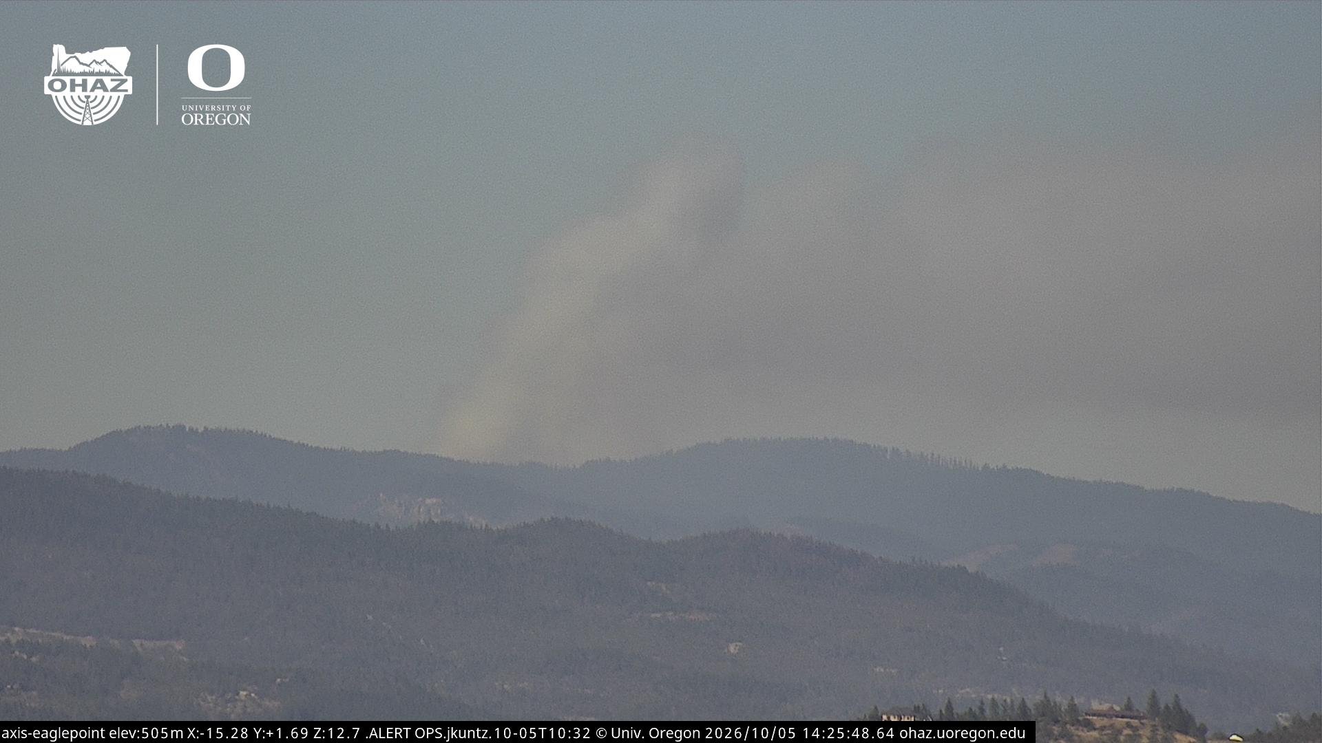
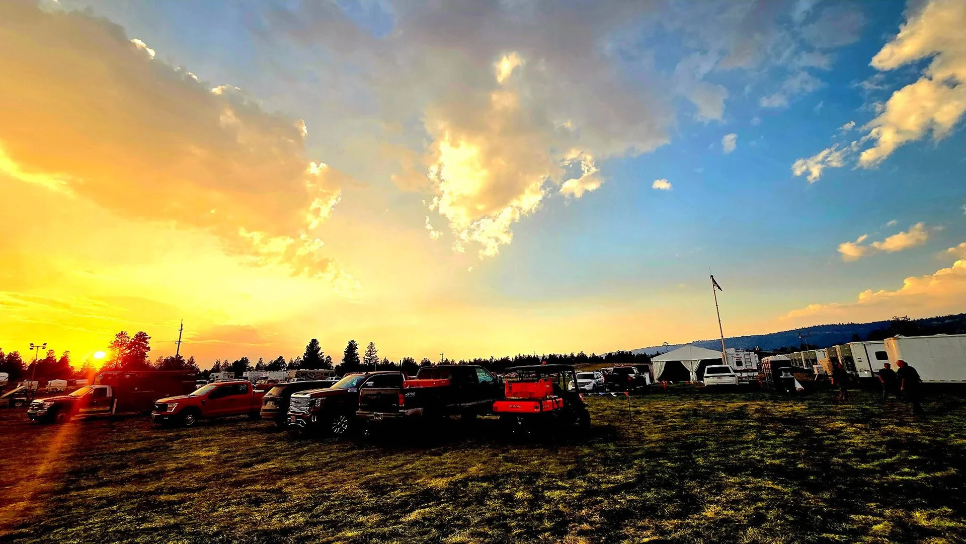
Minimal smoke is visible as crews push deeper into mop-up, begin pulling hose and equipment, and shift more resources toward suppression repair

FAST FIRE FACTS
Name: East Evans Creek Fire
Location: About 7 miles west of Shady Cove
Acres: 15,705
Containment: 38%
Growth: No new growth reported
Mop-Up: 100–200+ feet in many areas; broader goal of 300 feet
Current Focus: Deep mop-up, hidden heat and suppression repair
Evacuations: Reduced again as fire conditions improve
Weather: Red Flag Warning from 2–7 p.m.
Cause: Vehicle crash into a power pole
Latest Maps: View current fire maps
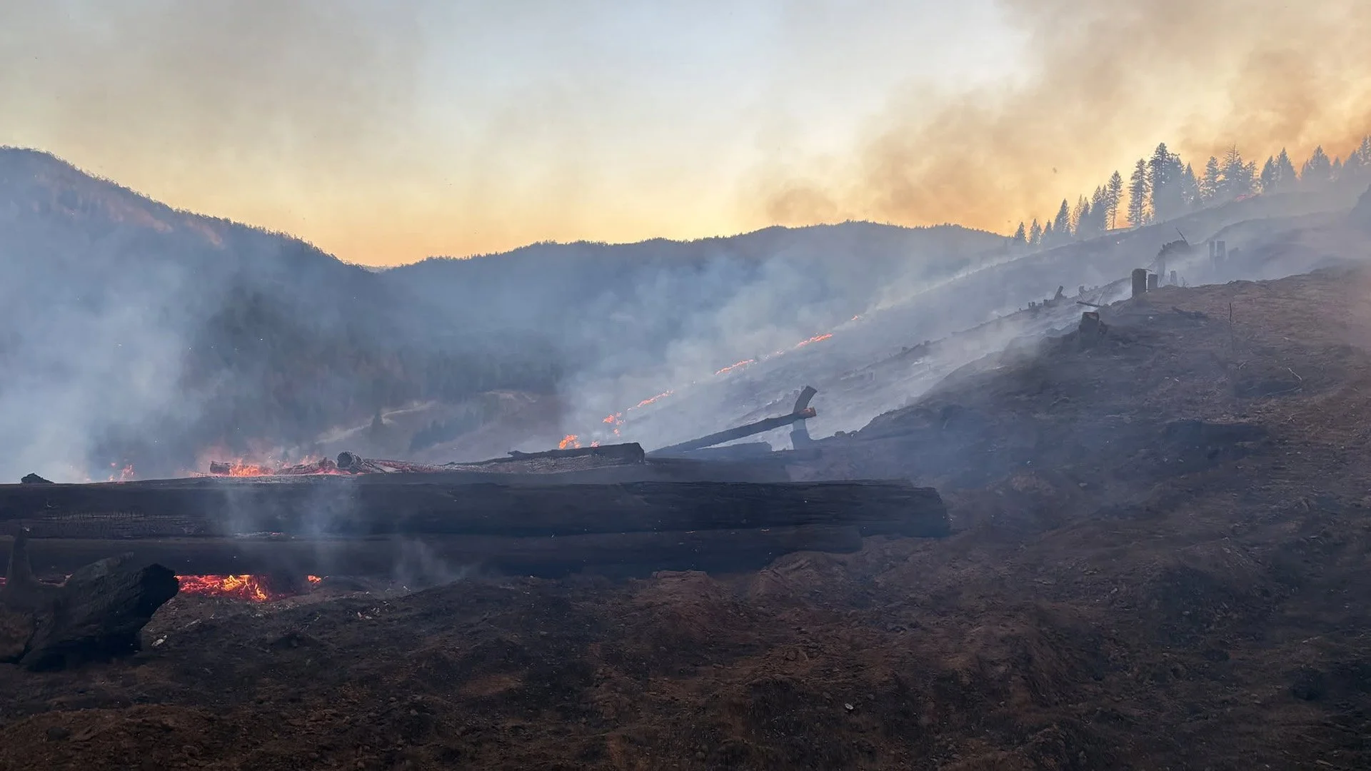
Firefighters dig through burned ground to expose and extinguish hidden heat as methodical mop-up continues across the East Evans Creek Fire. (Oregon Department of Forestry)
SAMS VALLEY, Ore. — Containment on the East Evans Creek Fire has increased to 38% as firefighters continue pushing deeper into the burned area, evacuation levels ease and more resources transition from active suppression into repair work.
The fire remains at 15,705 acres with no new growth reported.
Minimal smoke is now visible from much of the incident, although pockets of unburned vegetation continue to creep and smolder well inside established control lines.
Crews are systematically searching those areas for smoke and heat as they work toward a broader goal of securing approximately 300 feet inside the fire perimeter.
More detailed operational information released Friday shows significant progress in many areas. Mop-up has pushed beyond 200 feet along portions of the main fire, while crews around Board Mountain are generally working beyond 100 feet and toward a 200-foot target.
“Progress is going really well,” ODF Operations Section Chief Trainee Leo Williamson said during Friday morning’s operational briefing.
MOP-UP PUSHES DEEPER ACROSS FIRE
Firefighters continue expanding the distance between remaining heat and established control lines.
Crews in portions of the main fire have pushed mop-up beyond 200 feet, while other divisions continue working toward that depth.
Around the Board Mountain spot fire, firefighters are generally beyond 100 feet of mop-up and working toward approximately 200 feet.
The work remains slower in some areas where terrain, heavy fuels and hazardous trees make access more difficult.
Crews continue cutting fire-weakened trees where necessary to reduce overhead hazards and allow firefighters to safely work farther into the interior.
Fire officials have previously identified approximately 300 feet from the perimeter as the broader mop-up goal across the incident.


HULL MOUNTAIN CREWS FIND FEW REMAINING SMOKES
Crews continue repeatedly gridding more secure portions of the fire to make sure hidden heat is not missed.
During one grid of the Hull Mountain spot fire Thursday, firefighters identified only three visible smoke sources.
Crews planned to return Friday and check the area again as they work toward complete mop-up of the spot fire.
The repeated inspections are designed to find small pockets of heat before firefighters remove hose, equipment and personnel from secured areas.
INFRARED TECHNOLOGY HELPS FIND HIDDEN HEAT
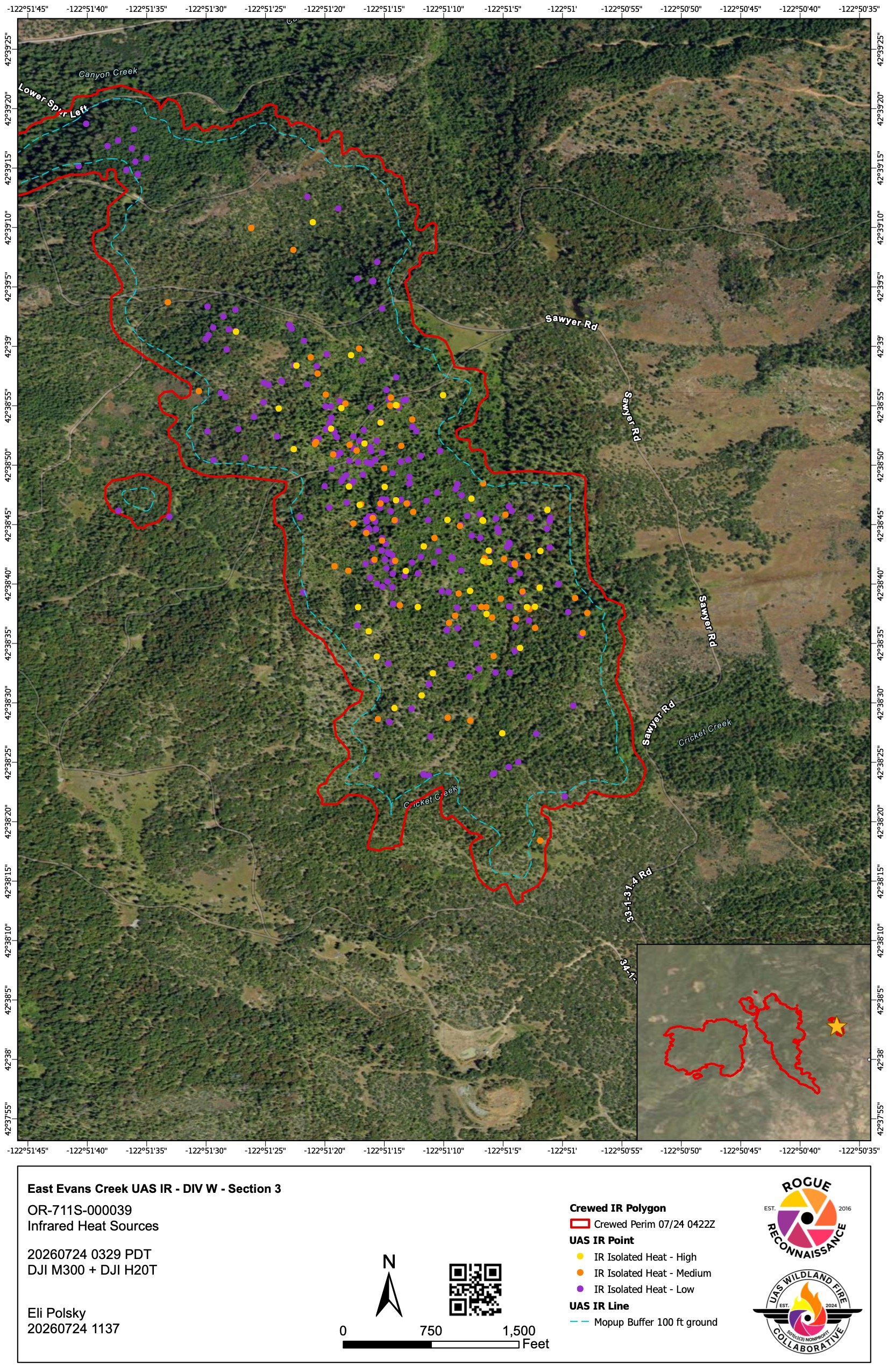
A UAS drone equipped with infrared technology identifies hidden heat within the East Evans Creek Fire, helping crews pinpoint areas that may still be smoldering beneath the surface and guide deeper mop-up operations. View the latest East Evans Creek Fire maps
As visible smoke becomes less common, infrared technology is playing a larger role in mop-up.
Firefighters are using handheld infrared cameras and Unmanned Aircraft Systems equipped with infrared sensors to locate residual heat around Board Mountain and along the main fire edge.
The technology can identify areas where fire continues smoldering underground, beneath logs or inside heavy fuels without producing obvious smoke.
Those locations are mapped or flagged for crews to investigate and extinguish during daytime operations.
More night-shift resources are also transitioning to daytime assignments as work moves deeper into the interior, giving firefighters better visibility and safer conditions while searching for remaining heat.
SUPPRESSION REPAIR EXPANDS AS FIRE BECOMES MORE SECURE
As containment increases, more equipment and personnel are shifting into suppression repair.
The former Contingency East group is now functioning as a repair group, with crews beginning work on dozer lines and areas disturbed during the construction of emergency containment features.
Bulldozers and excavators are flattening berms, cleaning up cut vegetation and preparing control lines for future rain.
Crews will also install water bars to redirect runoff and reduce erosion, sediment movement and impacts to water quality.
Fire managers are coordinating that work with resource advisors to limit the long-term effects of suppression operations.
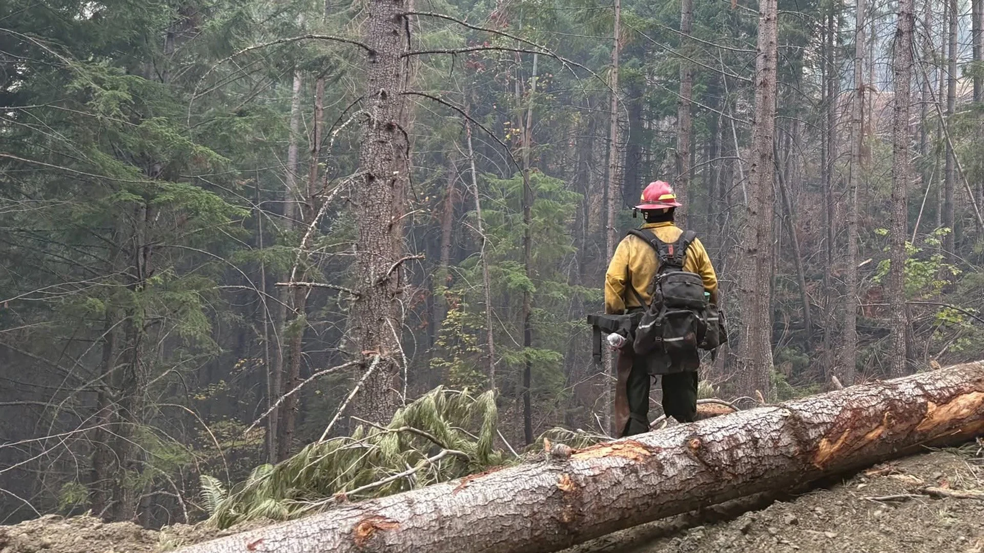
A firefighter works steep terrain on the East Evans Creek Fire as crews continue pushing mop-up farther inside control lines and securing remaining pockets of heat. (Oregon Department of Forestry)
HOSE AND EQUIPMENT BEGIN COMING OFF THE FIRELINE
Crews are also beginning to backhaul hose and equipment from portions of the fire that no longer need intensive suppression resources.
Earlier operational briefings reported more than 80 miles of hose deployed across the incident.
Removing that equipment will be a substantial operation of its own and will continue as firefighters determine individual sections of the perimeter are secure enough to scale back.
Resources no longer needed on the East Evans Creek Fire are being released so they can support other incidents around Oregon.
EVACUATIONS EASE AS RESIDENTS BEGIN RETURNING
Continued firefighting progress prompted additional evacuation reductions around the incident Thursday.
Some evacuation areas were reduced or eliminated, and road restrictions have also been minimized in portions of the fire area.
Williamson credited the improving access to the work firefighters have completed securing the incident, but cautioned residents that crews and heavy equipment remain active throughout the area.
“We still have a long road ahead of us to get this where it needs to be,” Williamson said.
Residents returning to affected areas should expect fire traffic, firefighters working along roads and occasional smoke from interior portions of the fire.
Drivers should slow down and give crews and equipment plenty of room.
Cover image: Firefighters gather for an operational briefing as the East Evans Creek Fire shifts deeper into mop-up, suppression repair and equipment removal while containment continues to increase. (Oregon Department of Forestry)
CRITICAL FIRE WEATHER REMAINS A CONCERN
Despite continued progress, firefighters face another potentially challenging weather period Friday.
Temperatures are expected in the low 90s with low relative humidity and breezy westerly winds.
Combined with extremely dry vegetation, those conditions could support rapid fire spread if a new fire starts.
A localized Red Flag Warning is in effect from 2 p.m. to 7 p.m. for increased risk of new fire starts.
Although the East Evans Creek Fire remains within established control lines, fuels outside the perimeter remain highly receptive to ignition.
Resources from the incident are available to assist local fire agencies with initial attack if new fires develop.
Aircraft also remain available for aerial reconnaissance and water drops, with airtankers available if needed.
EAGLE POINT SHELTER CLOSES FRIDAY
The American Red Cross shelter at Eagle Point Middle School is closing Friday as evacuation levels continue to decrease and residents return home.
The Red Cross will continue working with remaining shelter residents during their transition.
Anyone still needing sheltering assistance should contact Non-Emergency Dispatch at 541-776-7206.

LATEST FIRE MAPS
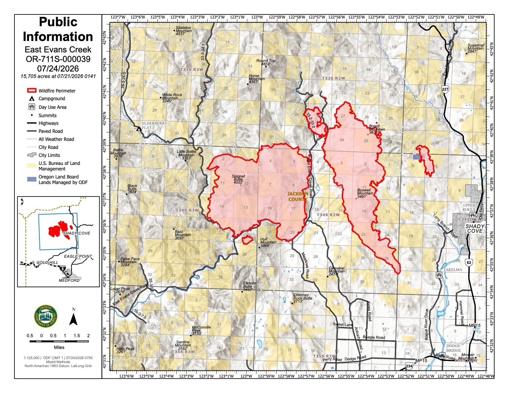
The July 24 public information map places the East Evans Creek Fire at 15,705 acres and shows the main fire, associated spot-fire areas and the extensive network of control lines established around the incident. (Oregon Department of Forestry) View all current maps on the East Evans Creek Fire Maps page.
The East Evans Creek Fire remains mapped at 15,705 acres, with no new growth reported.
The latest official maps show the established main fire and associated spot-fire footprints along with the extensive network of control lines built during suppression.
As the perimeter becomes increasingly secure, maps are also helping crews coordinate deeper mop-up, infrared detection of remaining heat and suppression repair.
UAS infrared mapping is being used in targeted areas to identify heat that may be hidden below the surface or beneath heavy fuels.
View the complete collection of current East Evans Creek Fire maps, including public information, operations, briefing, infrared and incident maps.
FIRE WEATHER
A localized Red Flag Warning is in effect from 2 p.m. to 7 p.m. as another period of critical fire weather develops.
Conditions include:
Temperatures in the low 90s
Low relative humidity
Breezy westerly winds
Extremely dry vegetation
Increased potential for rapid fire spread and new fire starts
Although the East Evans Creek Fire remains within established lines, fuels outside the perimeter remain highly receptive to ignition.
Resources from the incident are available to assist local agencies if new fires start.
FIRE DANGER
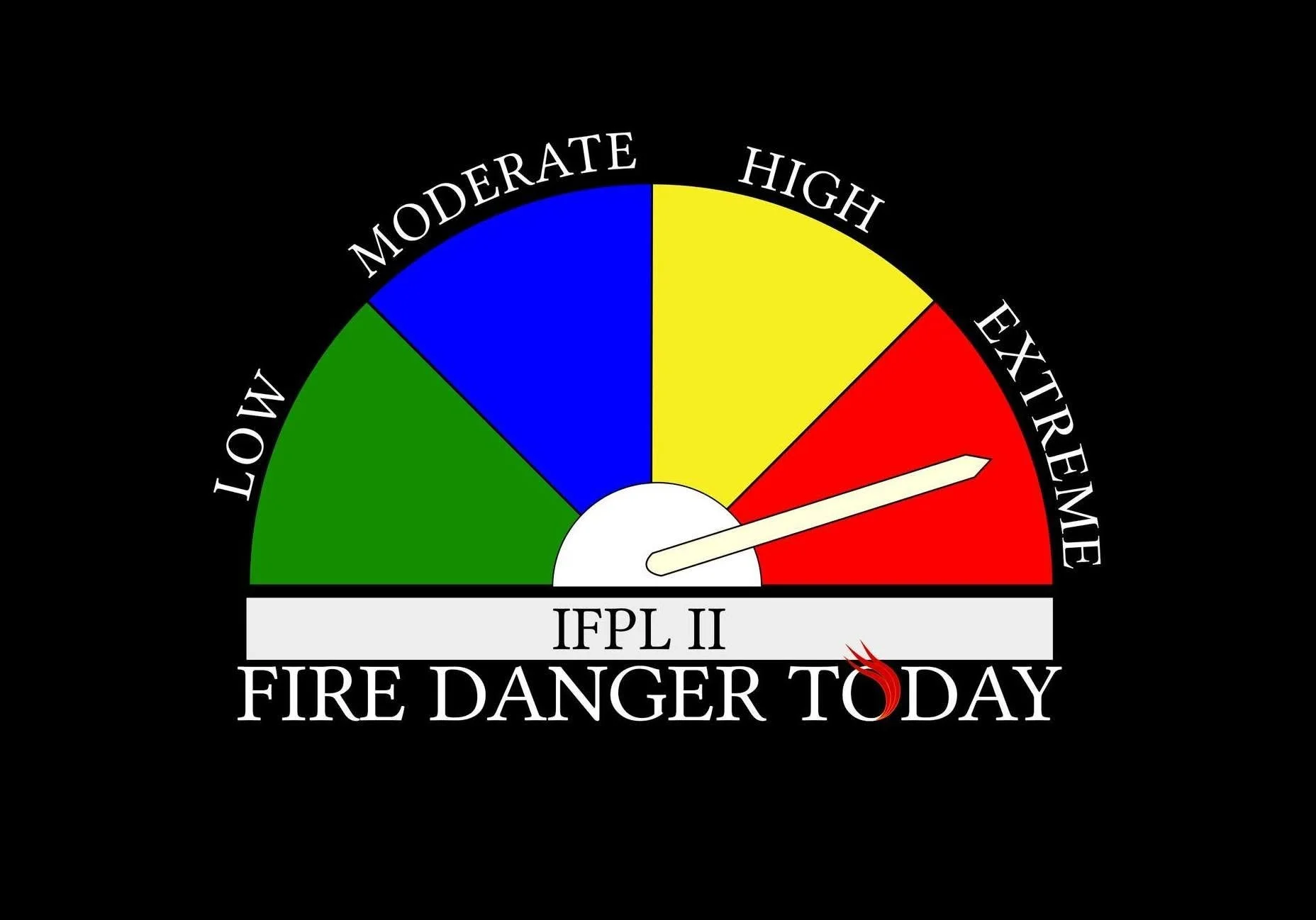
Extreme fire danger remains in effect on Oregon Department of Forestry-protected lands across Jackson and Josephine counties.
Dry vegetation and low humidity mean even a small spark can quickly become a wildfire.
Restrictions remain in place on activities capable of igniting dry fuels.
Any new smoke or fire should be reported immediately by calling 911.
EVACUATION LEVELS
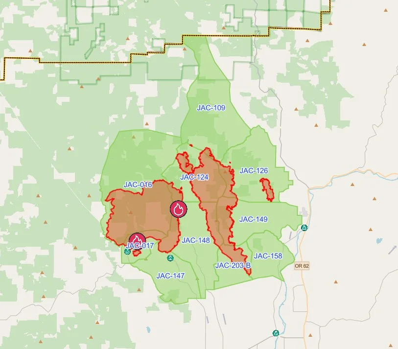
The latest evacuation map showing level 1 evacuations due to the East Evans Creek Fire. Residents should use the interactive Genasys map to check current conditions for a specific address. (Project Genasys)
Evacuation levels have been downgraded again in Jackson County as containment increases and the threat to communities continues to decrease.
Some evacuation notices remain active in Jackson County, and residents should continue checking official emergency information for the current status of their zone.
Firefighters and heavy equipment are still working throughout affected areas, and residents returning home should use caution.
Residents should continue checking official Jackson County evacuation information for their current zone.
EVACUATION SHELTER
The American Red Cross shelter at Eagle Point Middle School is closing Friday, July 24.
The Red Cross will continue assisting remaining residents as they transition home or make other arrangements.
Anyone still needing sheltering assistance should contact:
Non-Emergency Dispatch: 541-776-7206
CLOSURES
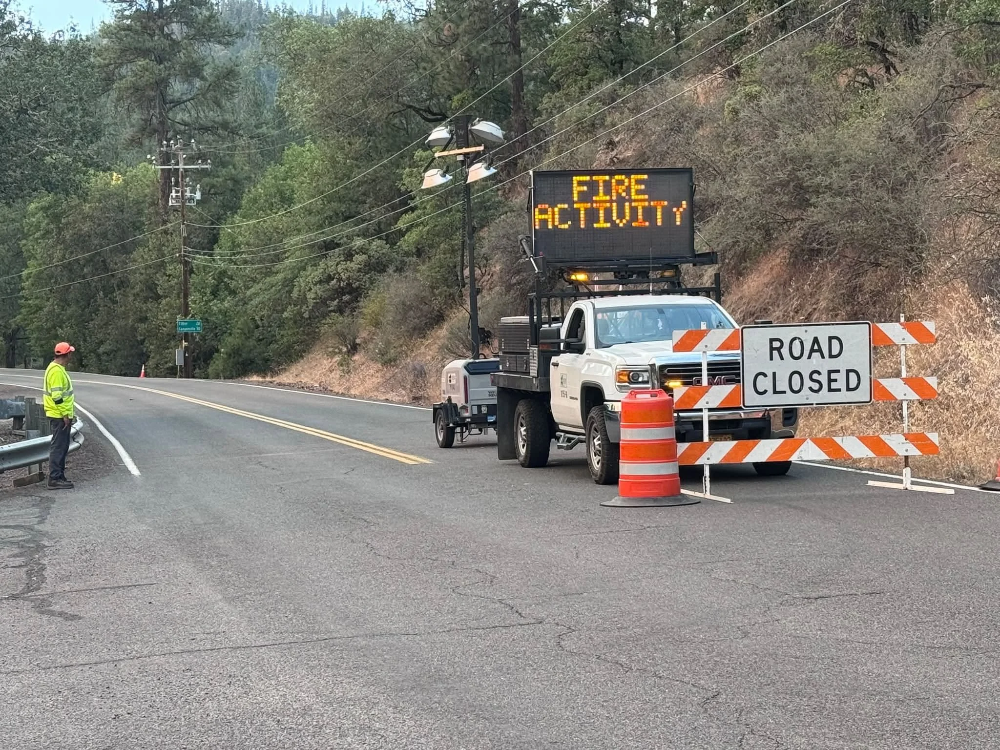
A Jackson County Roads employee staffs a closure as an electronic sign warns drivers of nearby fire activity. (Courtesy Jackson County Parks)
Fire-related road and land closures remain in effect.
ODF continues to list:
East Evans Creek Road at Meadows Road
West Fork Evans Creek Road
Rock Creek Road
Heavy fire traffic remains on roads throughout the incident area. Residents should drive cautiously and give crews and equipment room to operate.
BLM-administered lands near the East Evans Creek Fire remain closed to public entry, including hunting, hiking and camping.
A 24-hour Temporary Flight Restriction remains in effect over the incident.
Flying a drone near the fire is illegal and can force firefighting aircraft to suspend operations.


More Firewatch