
Woodrat Fire 100% Lined Overnight, Mapped at 282 Acres
Crews face another day of critical fire weather as extensive work continues near Ruch.
Aerial View / Cover Image: Smoke rises from the Woodrat Mountain Fire during an aerial view of the incident near Ruch. Oregon Department of Forestry Southwest Oregon.
FAST FIRE FACTS
Name:
Woodrat Mountain Fire
Location:
Woodrat Mountain Road near Ruch, south of Jacksonville
Acres: 282 acres
Containment:
No containment estimate has been released. Fire line is complete around 100% of the perimeter, with 60% hose lined.
Evacuations:
Level 3, Go Now:
JAC-428A and JAC-436
Level 2, Be Set:
JAC-428B
Equipment:
12 Hand Crews
6 Dozers
6 Water Tenders
4 Falling Modules
12 Engines
4 Type 1 Helicopters
3 Type 2 Helicopters
2 Type 3 Helicopters
Air Tankers
Air Attack
Activity:
Crews are strengthening fire lines, extending hose, checking for heat, and securing the perimeter during another day of critical fire weather.
Cause:
The fire began when a vehicle fire spread into surrounding vegetation.
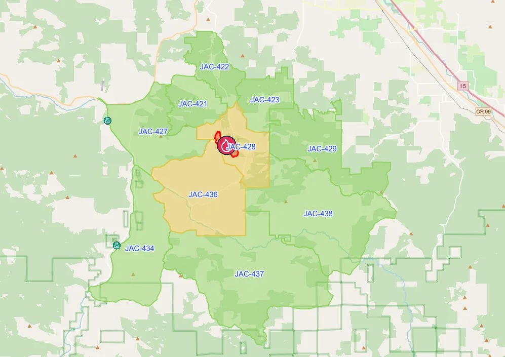
Evacuation Map: Updated evacuation zones show JAC-436 and JAC-428 at Level 2, Be Set, after all Level 3, Go Now, notices were downgraded at noon Friday. Surrounding Level 1, Be Ready, zones remain in place. View the current evacuation map on Genasys Protect. Genasys Protect.
Update 12:00 PM
All Level 3, Go Now, evacuations for the Woodrat Mountain Fire have been downgraded following overnight firefighting progress.
Zones JAC-436 and JAC-428A are now at Level 2, Be Set. JAC-428A and JAC-428B have also been recombined into a single Zone JAC-428, which is at Level 2.
Jackson County officials caution that evacuation levels can be upgraded again quickly if fire behavior changes. Residents returning to the area should expect to see smoke. Anyone who sees active fire on their property should call 911.
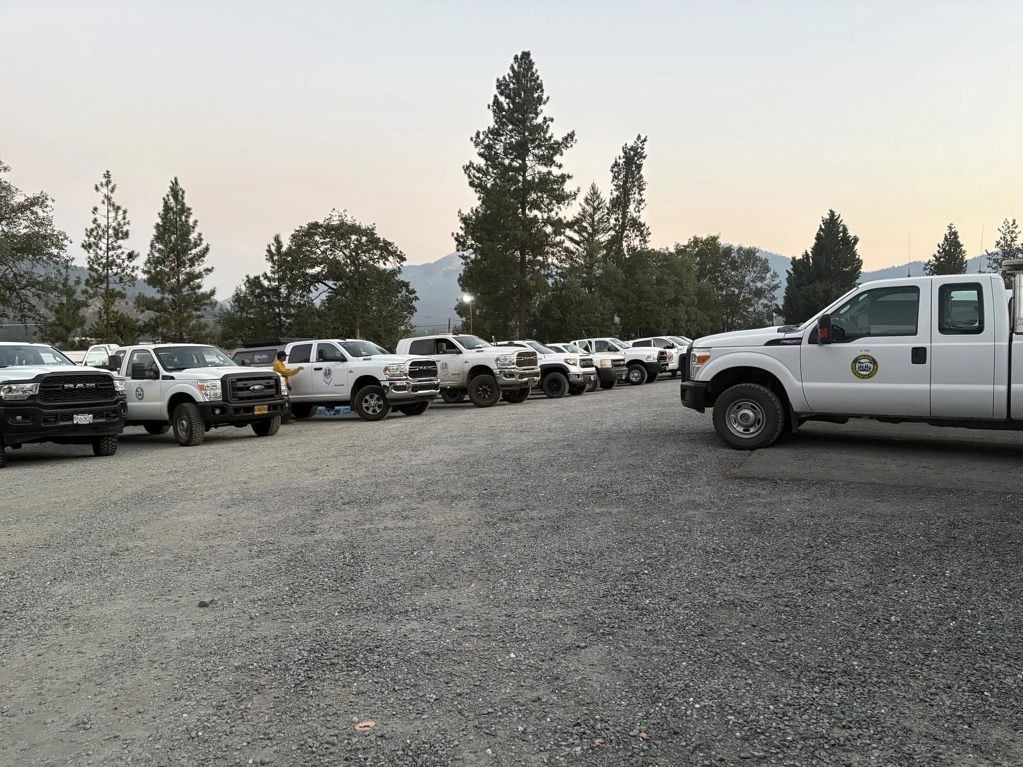
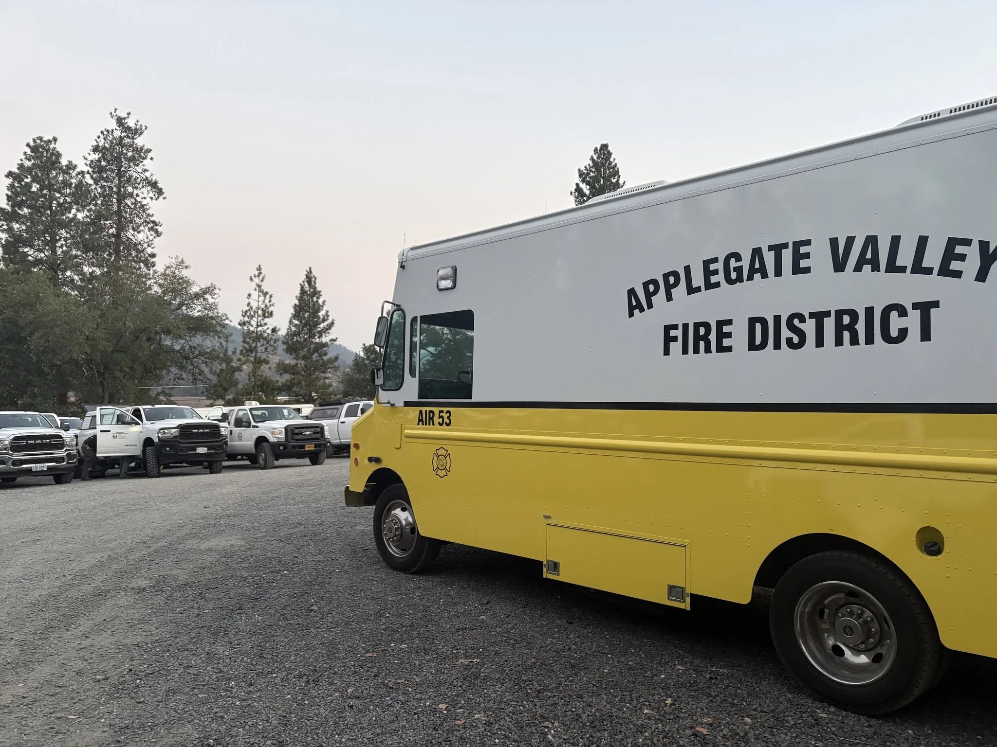
Morning Briefing: Firefighters and support personnel gather for an operational briefing before beginning work on the Woodrat Mountain Fire. Oregon Department of Forestry Southwest Oregon.
RUCH, Ore. — Firefighters have completed fire line around 100% of the Woodrat Mountain Fire after working through the night in steep terrain and dense timber south of Jacksonville near Ruch.
Updated infrared mapping has placed the fire at 282 acres, down from Thursday evening’s estimate of approximately 300 acres. The Oregon Department of Forestry Southwest Oregon District said the change reflects more accurate mapping rather than a decrease in the area burned.
The fire is also 60% hose lined, giving crews water access around much of the perimeter as they begin the lengthy process of securing lines and extinguishing remaining heat.
Dozers constructed much of the perimeter overnight, while hand crews worked through areas where steep terrain and dense timber prevented heavy equipment from operating.


Crews made the progress despite poor overnight relative humidity recovery, which can allow vegetation to remain dry and receptive to fire even during the cooler nighttime hours.
Firefighters today are focusing on strengthening existing lines, extending hose, and identifying remaining hot spots.
Infrared Map: An overnight UAV infrared map places the Woodrat Mountain Fire at 282 acres, showing the mapped heat perimeter, scattered heat, and isolated heat sources across the incident near Sterling Creek Road. Rogue Reconnaissance / UAS Wildland Fire Collaborative.
Night crews were aware of possible heat outside the eastern side of the perimeter and searched those areas overnight. ODF said firefighters did not locate additional heat outside the line, but crews will continue checking the area today.
The eastern side remains one of the more challenging portions of the fire because of steep terrain and thick vegetation.
Another day of critical fire weather is expected across the area, making today’s work especially important as firefighters try to secure the perimeter before conditions become more favorable for fire growth.
Aviation Resources: Helicopters are staged near the Woodrat Mountain Fire and available to support crews with water bucket drops as needed. Oregon Department of Forestry Southwest Oregon.
Large aviation response remains available
A substantial aviation response remains available to firefighters.
Four Type 1 helicopters, three Type 2 helicopters, and two Type 3 helicopters are available for water bucket drops as needed. Air tankers are also available for retardant drops, with Air Attack coordinating aircraft over the incident.
Ground resources have been positioned around the fire based on terrain and operational needs.
The south side is staffed with one falling module, four 20 person hand crews, three engines, two water tenders, and two dozers.
The north side has one falling module, four 20 person hand crews, four engines, two water tenders, and two dozers.
On the eastern side, two falling modules, four 20 person hand crews, five engines, two water tenders, and two dozers are assigned.
Although firefighters have completed line around the entire perimeter, ODF cautions that extensive work remains. Crews continue dealing with steep terrain, dense timber, hazardous snags, and areas of remaining heat.
The fire has not been reported as contained.
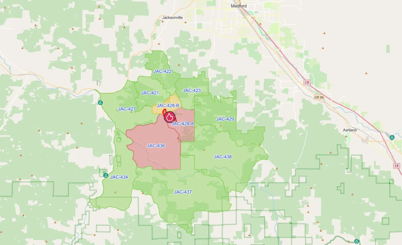
Evacuation Map: Current evacuation zones surrounding the Woodrat Mountain Fire include Level 3, Go Now, areas south of the fire, along with Level 2, Be Set, and Level 1, Be Ready, zones. Genasys Protect.
Evacuations remain in place
Evacuation notices remain in effect around the Woodrat Fire.
Level 3, Go Now, notices remain in place for Zones JAC-428A and JAC-436.
Zone JAC-428B remains at Level 2, Be Set.
Level 1, Be Ready, notices remain in place for JAC-421, JAC-422, JAC-423, JAC-427, JAC-429, JAC-434, JAC-437, and JAC-438.
Residents should continue checking current evacuation information because boundaries and levels can change as conditions develop.
An evacuation shelter for people and pets is open at Jacksonville Elementary School, 655 Hueners Lane in Jacksonville. People needing additional medical care or sheltering assistance can call 541-776-7206.
Livestock can be taken to the Jackson County Expo, 21 Peninger Road in Central Point. Livestock assistance is available at 541-864-0546.

Fire started Thursday afternoon
The Woodrat Mountain Fire was first reported shortly before 12:45 p.m. Thursday.
ODF said firefighters were dispatched to a vehicle fire that was spreading into surrounding vegetation on Bureau of Land Management land along Woodrat Mountain Road near Ruch.
The official cause of the wildfire remains under investigation.
The fire grew rapidly Thursday afternoon, reaching an estimated 50 to 60 acres by 2:05 p.m., 130 to 150 acres by 4:45 p.m., approximately 200 acres by 6 p.m., and about 300 acres by 8 p.m.
Firefighters from ODF, Jacksonville Fire Department, and Applegate Valley Fire District began the initial attack, with resources from agencies across the Rogue Valley and surrounding area joining the response as the fire expanded.
A Temporary Flight Restriction remains in effect over the fire area. ODF is reminding the public that recreational drones cannot be flown near the incident because their presence can force firefighting aircraft to leave the area.
ODF plans to provide another update this evening, with additional information during the day if significant changes occur.


Keep Reading




