Salt Creek Falls Reopens After Major Visitor Upgrades Along Highway 58
New railings and a rebuilt restroom welcome visitors back to the popular Highway 58 stop.
OAKRIDGE, Ore. — Salt Creek Falls has always been one of Highway 58’s best reasons to pull over.
A short walk from the parking lot leads through the trees to the edge of a deep volcanic canyon, where the water drops 286 feet in a single plunge. The view arrives almost all at once, along with the cool air and steady roar rising from below.
For travelers crossing the Cascades between Klamath County and Eugene, it is an easy place to stretch their legs. For hikers, it is the beginning of a larger network of trails leading toward Diamond Creek Falls, Vivian Lake, and deeper sections of the Willamette National Forest.
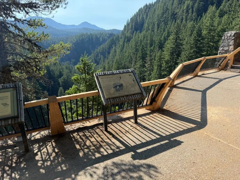
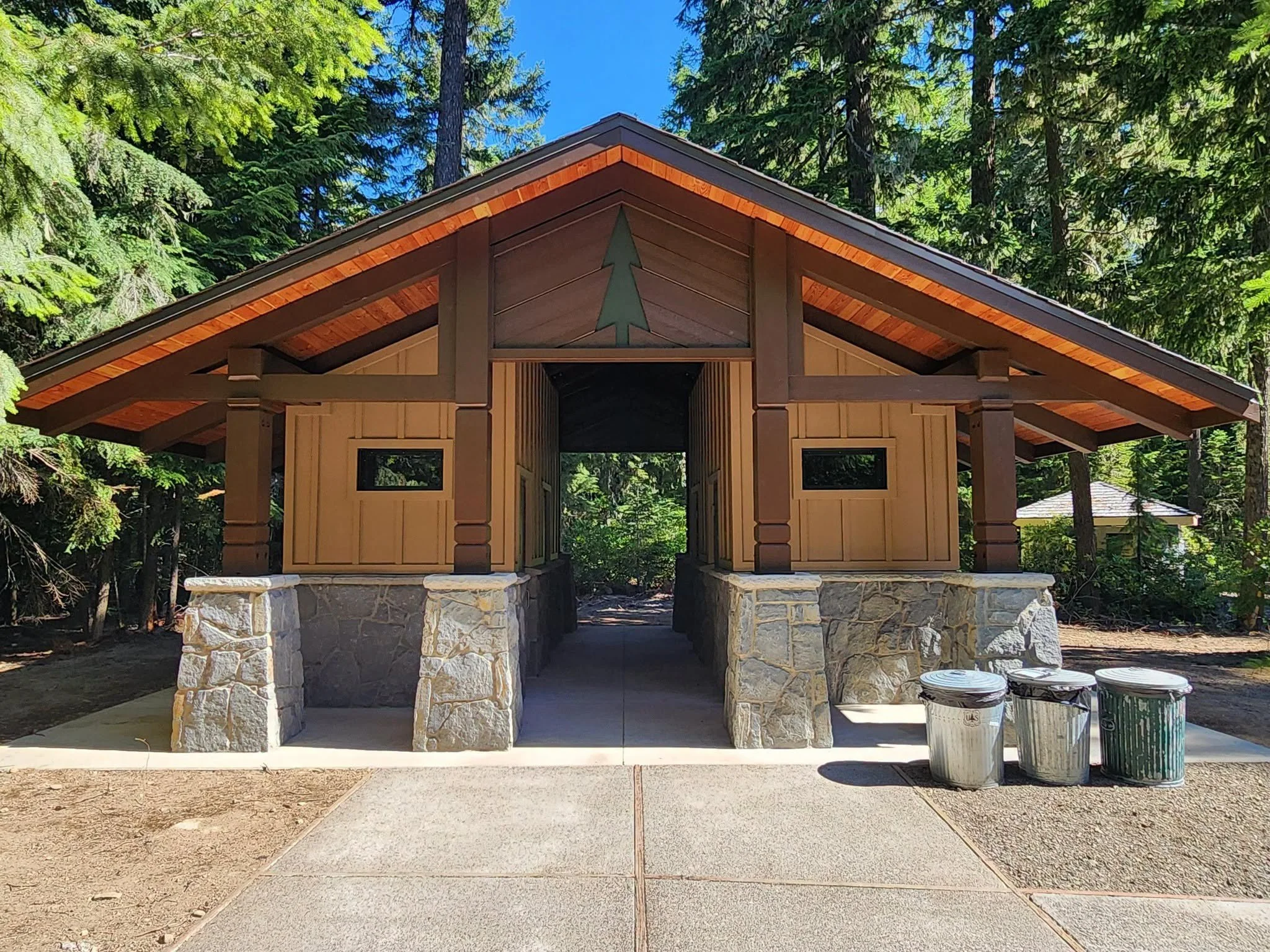
After months of construction, the Salt Creek Falls Observation Site and Picnic Area reopened August 3 with new safety railings and a rebuilt restroom.
The improvements may sound ordinary beside one of Oregon’s tallest waterfalls, but both address problems that had been growing for years.
Safer Stairs: New wooden handrails improve safety along the stone stairway near the main Salt Creek Falls viewpoint. Willamette National Forest.
FAST FACTS
Project Work
New safety railings, a replacement restroom, trail infrastructure repairs, and retirement of the aging water system.
Federal Allocation
The project received a $115,000 Great American Outdoors Act allocation for fiscal year 2022.
Project History
Forest Service planning began in 2018, and the project was approved in 2021.
Visitor Improvements
The work improves safety around the canyon overlooks and provides a more reliable restroom with fewer long term maintenance needs.
Reopening
The observation site and picnic area reopened August 3, 2026.
The published federal project scope includes several thousand feet of railing, a trail bridge, a replacement toilet, and decommissioning the water system.
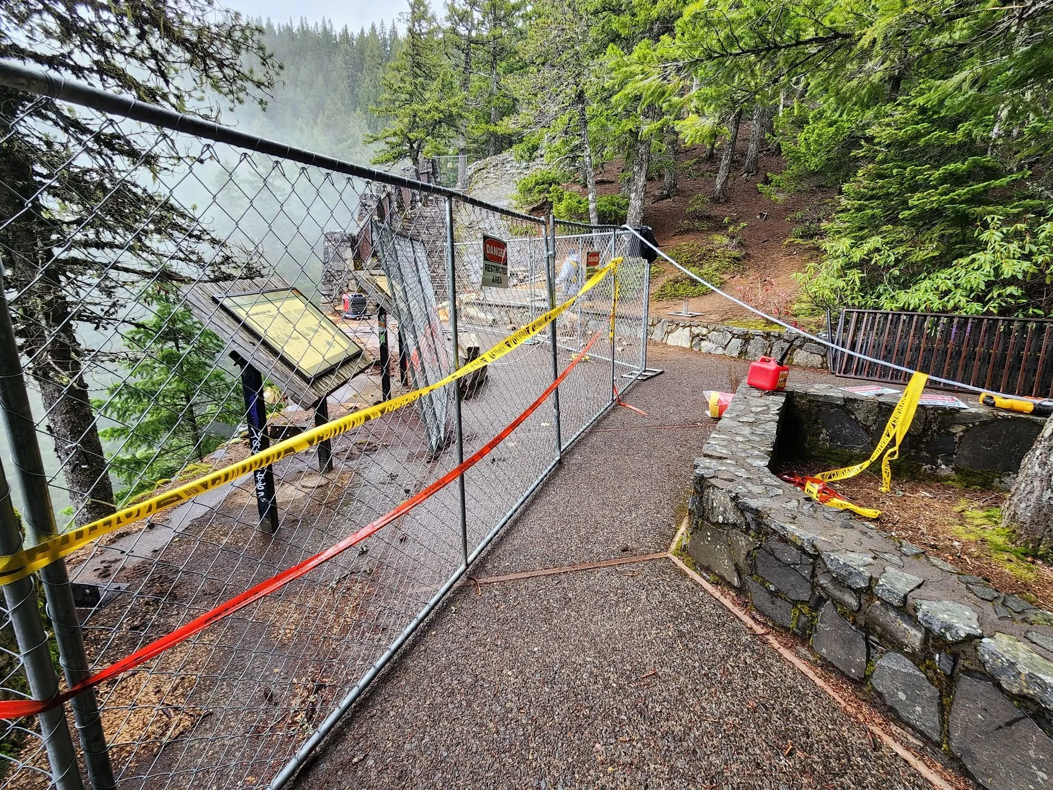
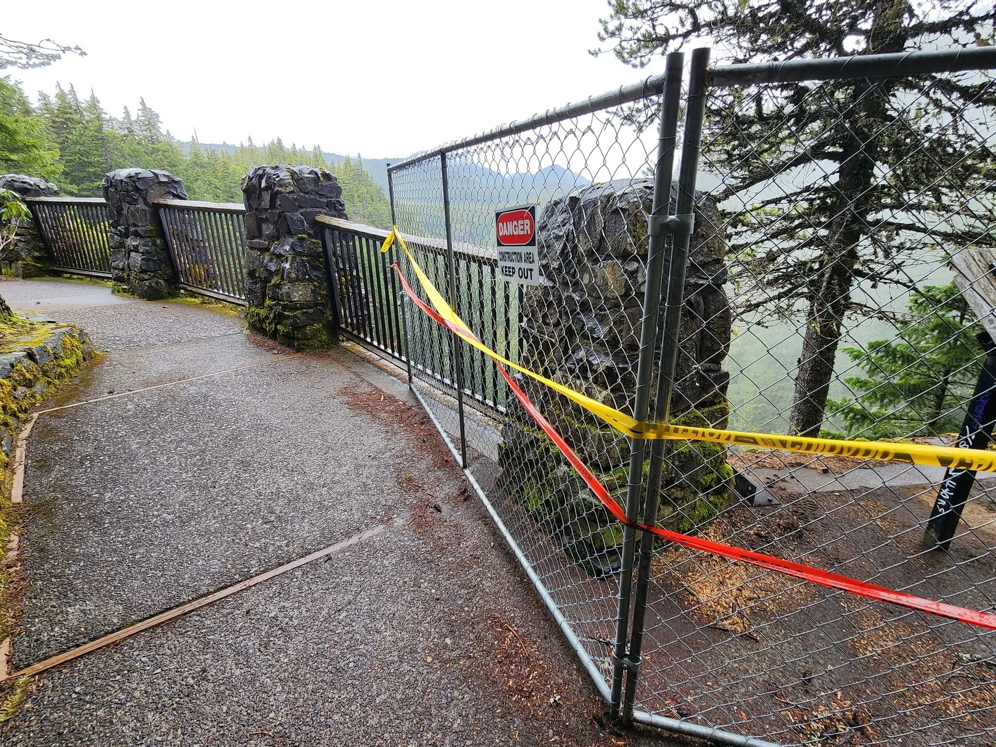
New railings now line the walkways and primary viewing areas above the canyon. The previous wood and stone barriers had deteriorated under heavy use, mountain weather, and long winters near Willamette Pass.
Along portions of the route, there is little room between the walkway and the steep canyon edge. The replacement railings strengthen that boundary while preserving views of the falls and surrounding forest.


The main overlook remains one of the site’s greatest strengths. It sits about 50 yards from the parking area along a short paved path, making the upper viewpoint accessible to visitors who may not be able to manage a longer or steeper trail.
A separate route descends toward the base of the falls, but that trail includes stairs, steep terrain, and a considerably different level of effort. The upper viewpoint offers the full drama without requiring visitors to turn the stop into a hike.
Salt Creek Falls / Cover Image: Salt Creek Falls plunges 286 feet into a forested canyon near Highway 58, making it one of Oregon’s most impressive roadside destinations. Brian Gailey / Jefferson Daily News.
The new restroom may not inspire many photographs, but it solves a problem visitors and forest crews have dealt with for years. The previous facility was tied to aging water and septic systems that had become increasingly difficult and expensive to maintain.
The replacement provides a cleaner and more reliable facility while allowing the Forest Service to retire the old water system. Visitors should still bring drinking water because potable water is not available at the site.
Years of planning behind the reopening
The work represents the final visible chapter of a project that began long before construction fencing appeared around the viewpoint.
Planning for the Salt Creek Falls Recreation Maintenance Project started in 2018. The Forest Service approved the project in 2021 after identifying deteriorated railings, aging facilities, trail concerns, and other overdue repairs around the recreation area.
The broader plan included replacing thousands of feet of railing, rebuilding the restroom, retiring the old water system, and repairing infrastructure connected to nearby trails.
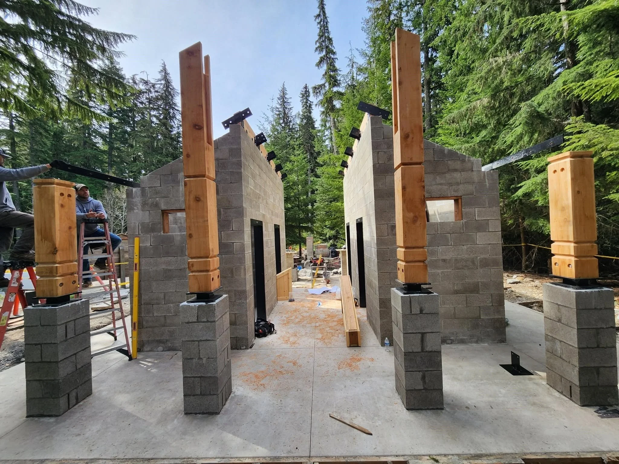
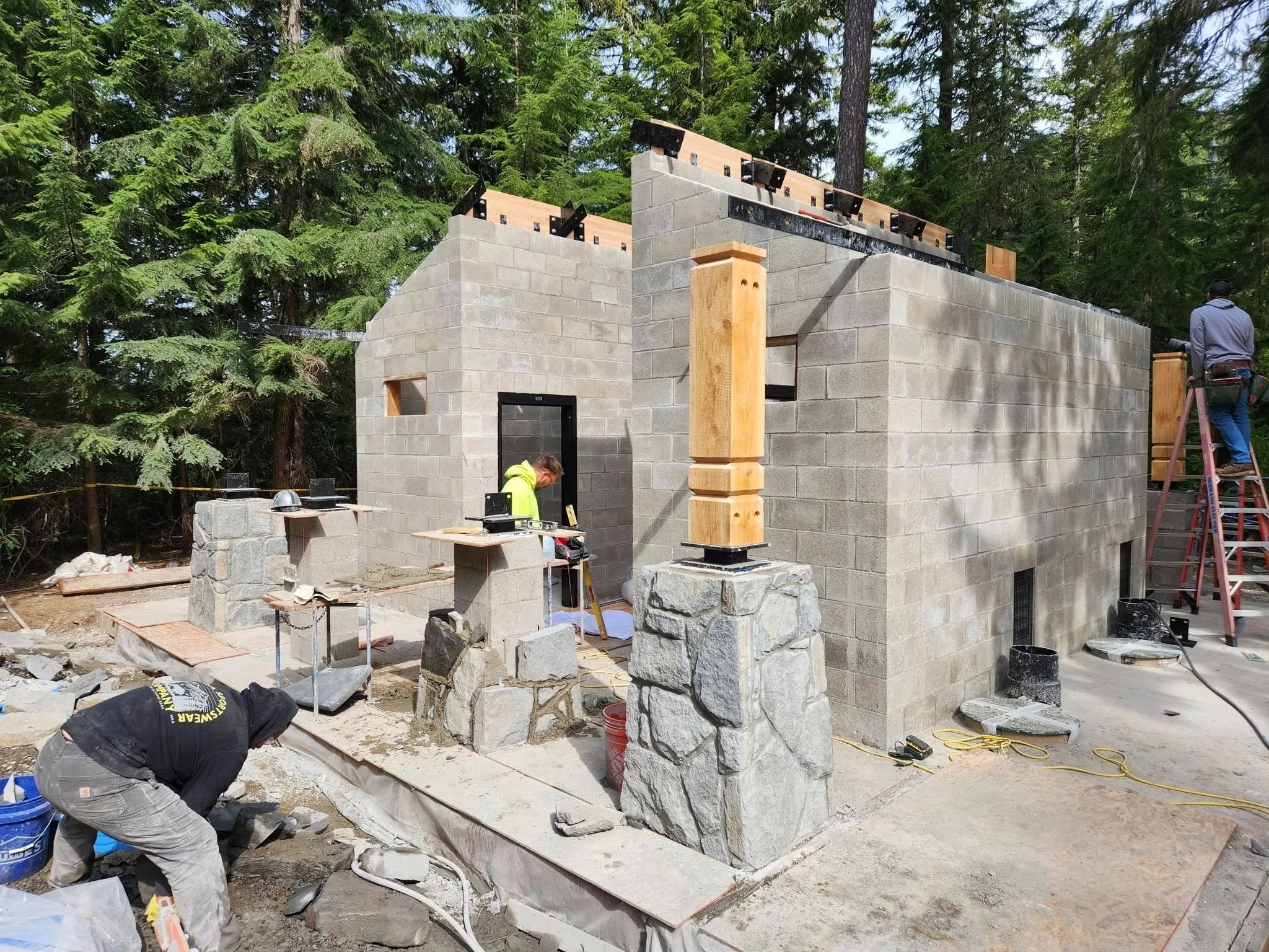
Funding came through the Great American Outdoors Act, a federal program created to address deferred maintenance on national forests, national parks, wildlife refuges, and other public lands.
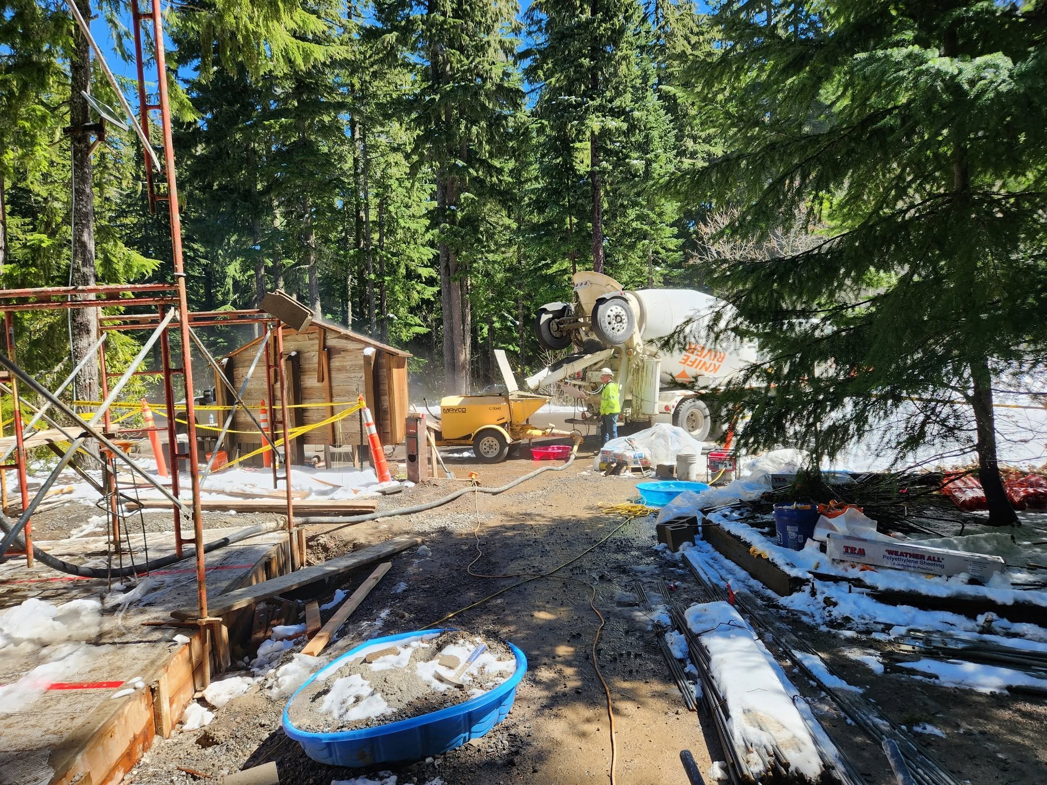
Projects like this are rarely dramatic while underway. They involve concrete, drainage, masonry, timber, septic systems, and long construction closures. But they are often what determine whether a heavily visited place remains safe and usable for the next generation.
The finished restroom reflects the character of the surrounding site, with stonework, wood details, and a design that feels more like part of the recreation area than a utility building dropped into the forest.
The new railings do something similar. They are clearly new, but they follow the lines of the existing paths and stone structures rather than competing with the landscape.
Salt Creek Falls is often described as Oregon’s second-highest single-drop waterfall. That statistic helps explain its scale, but not entirely its appeal.
Part of the experience is how quickly the forest opens into the canyon. Another part is how close the site sits to one of the region’s busiest mountain travel routes.
Highway 58 connects communities east of the Cascades with Oakridge, Eugene, Interstate 5, and destinations farther north. Salt Creek Falls offers a natural pause in that drive, close enough to the highway for a brief stop but far enough into the trees to feel removed from it.
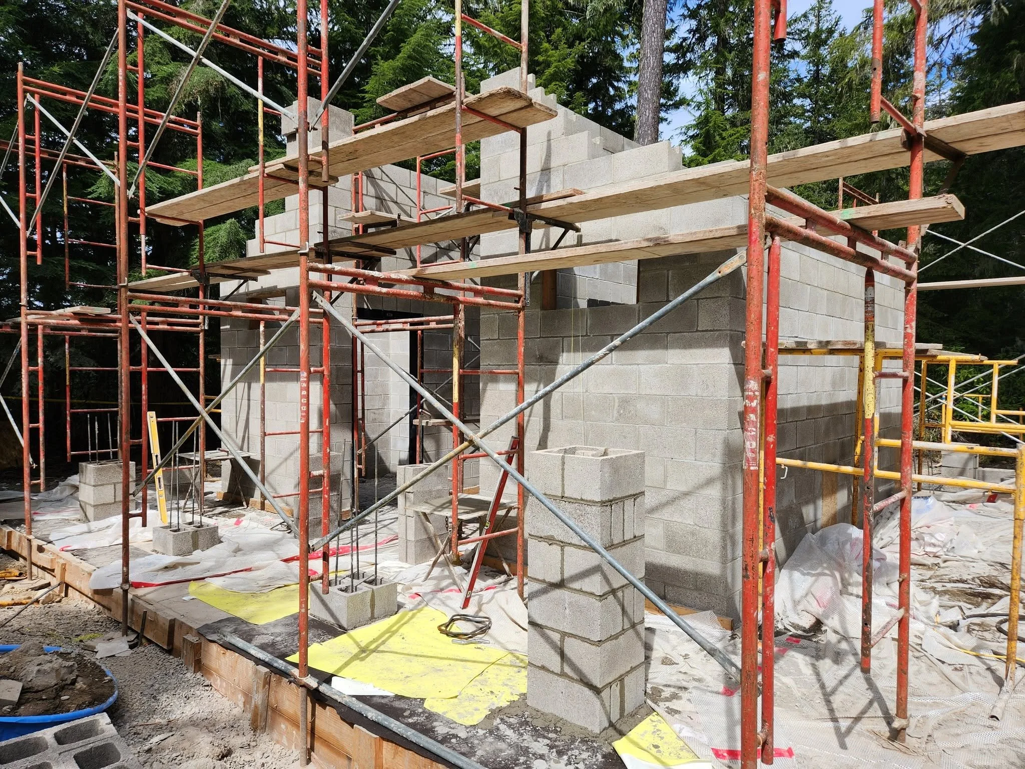
Visitors with more time can continue beyond the overlook. Nearby trails lead toward Diamond Creek Falls and Vivian Lake, offering canyon views, forested stretches, and a quieter experience away from the main parking area.
That flexibility has always been part of the site’s charm. It can be a 20-minute stop, a picnic destination, or the starting point for several hours on the trail.

Planning a visit
Salt Creek Falls is located near milepost 57 on Highway 58, about five miles west of Willamette Pass and roughly 23 miles southeast of Oakridge.
The day-use area is open from sunrise to sunset. Parking costs $5 per vehicle unless visitors display an accepted Northwest Forest Pass or federal recreation pass.
The parking lot can fill quickly during summer weekends and holiday travel periods. Space is limited for vehicles pulling trailers, with overflow parking available at the Salt Creek Sno-Park about four-tenths of a mile away. Visitors should not park along Highway 58 or block nearby access roads.
Dogs must remain on a leash no longer than six feet or otherwise stay under physical control.
Winter access is different. The observation site typically closes during the snow season, although visitors may be able to reach the area from the sno-park when conditions allow.
For now, the construction barriers are down, the overlook is open, and one of Highway 58’s most rewarding stops is ready for visitors again.


Keep Reading