

Southern Oregon & Northern California News
Latest local news from Southern Oregon and Northern California, covering Medford, Ashland, Grants Pass, Klamath Falls, Jackson County, Josephine County, Klamath County, Siskiyou County, Del Norte County, and communities throughout the region.
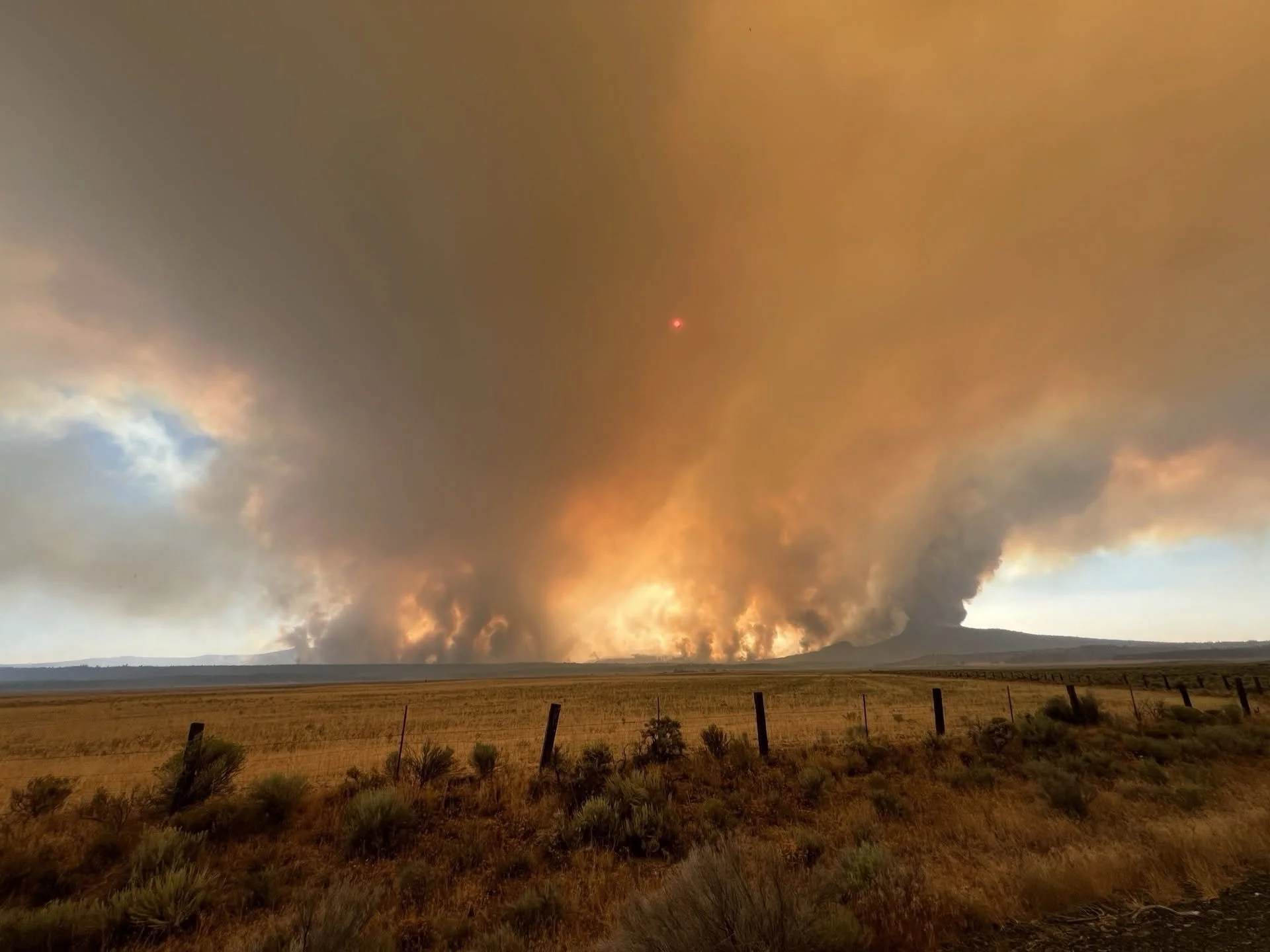
Wrights Spring Fire Mapped at 19,290 Acres as Evacuations Expand (UPDATED)
The Wrights Spring Fire is mapped at 19,290 acres and remains 0% contained west of Sprague River. Unified command is in place with 316 personnel assigned, expanded evacuations in effect, and eight OSFM task forces supporting structure protection.
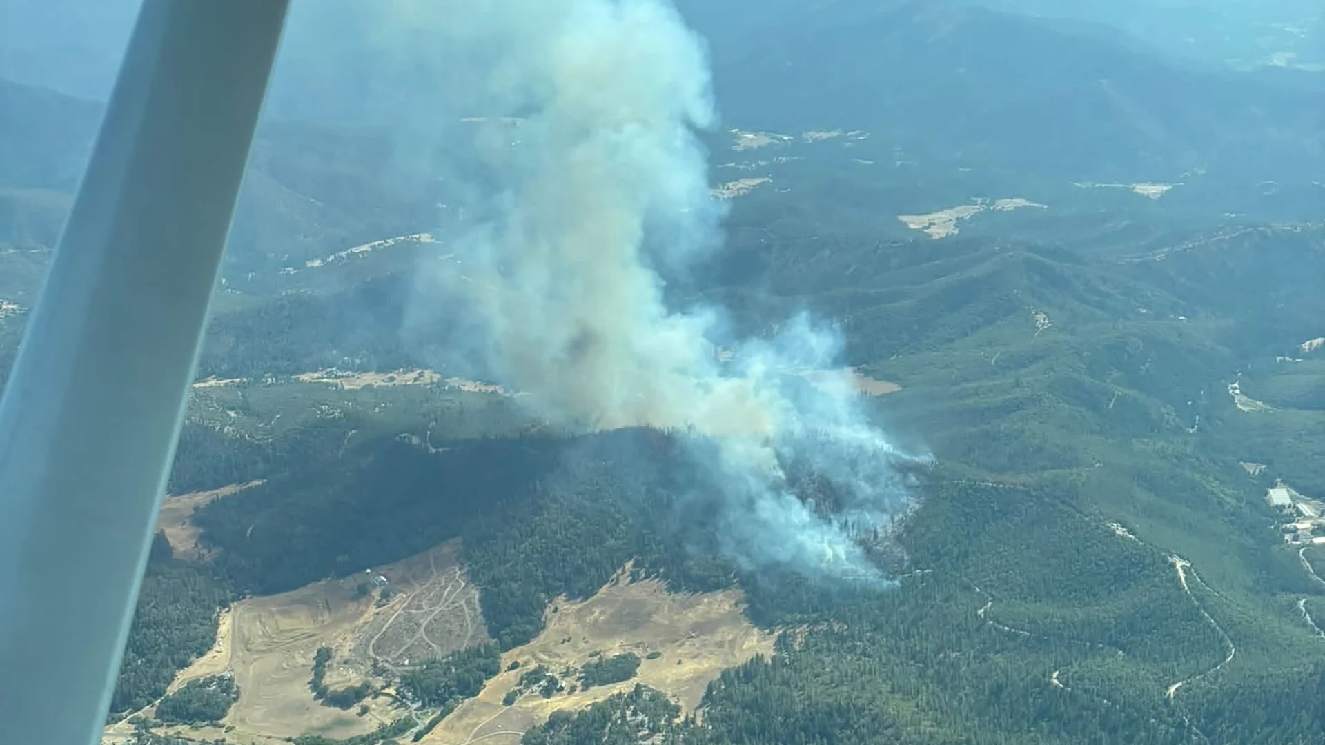
Woodrat Fire 100% Lined Overnight, Mapped at 282 Acres
Firefighters have completed line around 100% of the Woodrat Mountain Fire near Ruch. Updated infrared mapping places the fire at 282 acres, with 60% of the perimeter hose lined as crews continue securing the fire through steep terrain and dense timber.
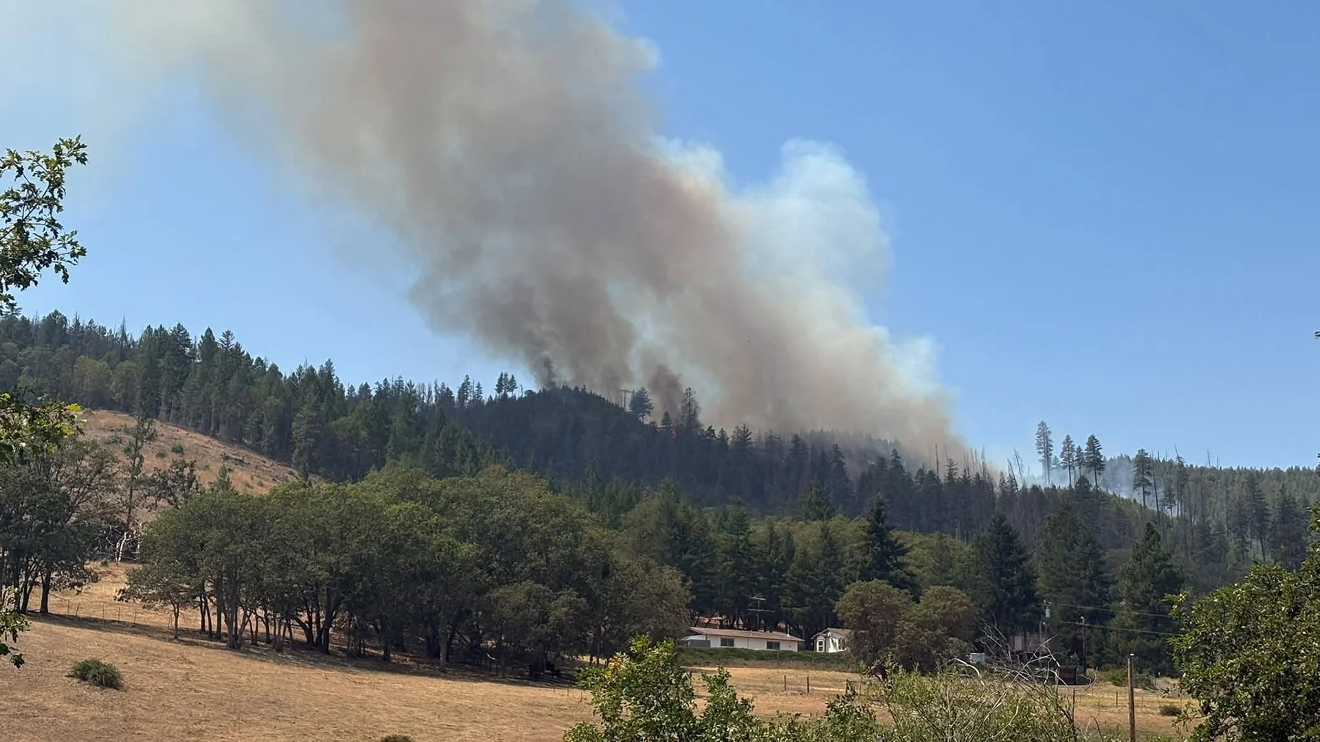
Woodrat Fire Reaches 300 Acres, 50% Lined Near Ruch
The Woodrat Fire has grown to approximately 300 acres and is 50% lined near Ruch. Six hand crews, four dozers, engines, water tenders, and falling modules are taking over overnight operations as firefighters work to limit movement toward Sterling Creek Road.
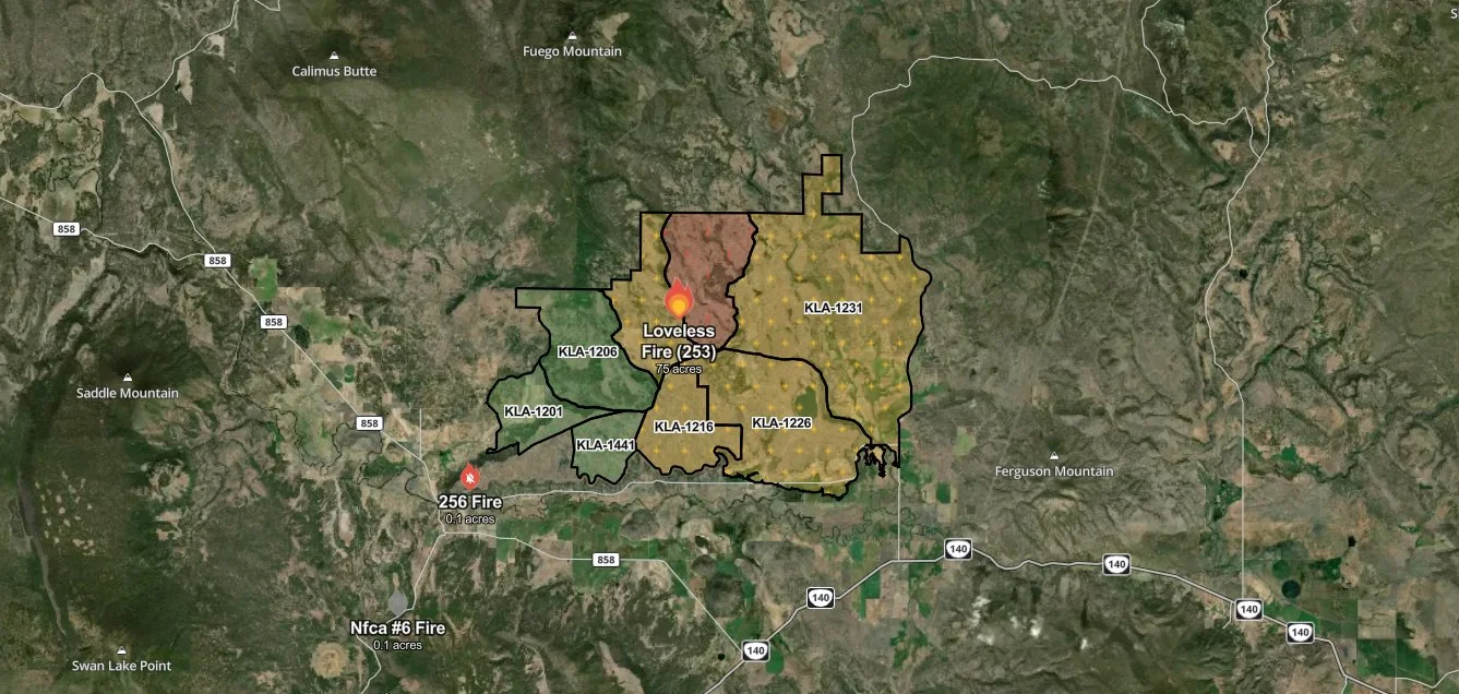
Loveless Fire Prompts Level 3 Evacuation Northeast of Sprague River
A new wildfire northeast of Sprague River has prompted evacuation orders and warnings in Klamath County. Early reports placed the Loveless Fire at approximately 75 acres, with heavy spotting reported as crews responded to the developing incident.

Jackson County To Test Emergency Alerts May 1
Jackson County Emergency Management will conduct its annual pre-fire season test of the Jackson Alerts mass notification system on Friday, May 1. The test will include alerts sent to registered users and a live Emergency Alert System message broadcast through local radio and cable television.