
I-5 Fire Near Grants Pass Mapped at 96 Acres, Line Completed Around Perimeter
All Level 3 evacuation orders have been downgraded as crews continue mop-up around the fire’s entire perimeter.
Fast Fire Facts
Name: I-5 MM 57 Fire
Location: Interstate 5 near milepost 57 and NE Beacon Drive, Grants Pass
Acres: 96
Containment: Not reported; line completed around the entire perimeter
Evacuations: All Level 3 orders downgraded to Level 2; residents may return home. Resident-only roadblocks remain at Lenella Lane and Mina Lane.
Equipment: Approximately 125 personnel, five hand crews, five Type 6 engines, five water tenders, five dozers, and two helicopters
Activity: Mop-up underway; crews reinforcing lines and watching for spot fires during gusty afternoon winds
This is a developing story. Published Aug. 2, 2026, at 8:28 a.m.
GRANTS PASS, Ore. — Firefighters completed line around the entire perimeter of the I-5 MM 57 Fire overnight as crews continued strengthening containment east of Grants Pass.
An infrared-equipped drone mapped the fire overnight and provided a more accurate measurement of 96 acres, according to the Oregon Department of Forestry.
ODF emphasized that the increase from Saturday evening’s estimate of 75 to 80 acres was caused by improved mapping and did not represent overnight fire growth.
Infrared Map / Cover Photo: An infrared map shows the 96-acre perimeter of the I-5 MM 57 Fire east of Grants Pass following overnight mapping on Aug. 2, 2026. Oregon Department of Forestry; graphic by Jefferson Firewatch.
All Level 3 GO NOW evacuation orders were downgraded to Level 2 BE SET at 8 a.m. Sunday, according to Josephine County Emergency Management.
Residents may return to their homes with their vehicles. Roadblocks remain in place at Lenella Lane and Mina Lane, where entry is limited to residents.
Evacuation Map: All Level 3 evacuation orders near Beacon Hill were downgraded to Level 2 Sunday morning, allowing residents to return home. View the current evacuation map for address-specific information. Josephine County Emergency Management.


Officials asked drivers returning to the area to use caution and watch for firefighters, emergency vehicles, and equipment.
Approximately 125 personnel are assigned to the incident Sunday, including five 20-person hand crews, five Type 6 engines, five water tenders, and five dozers.
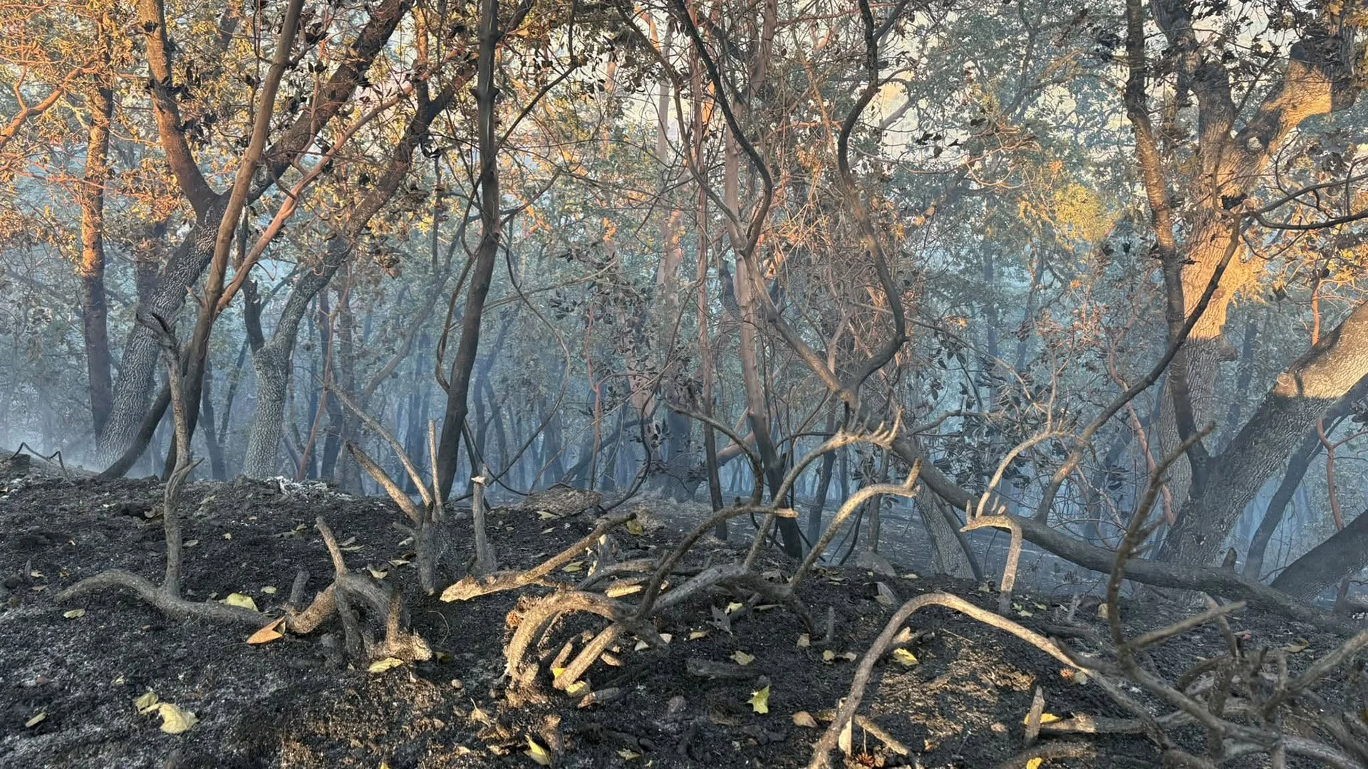
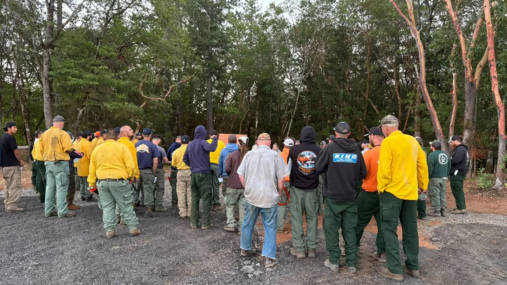
Crews working along the north flank have completed approximately 10 feet of mop-up from the fire’s edge. Work is taking longer along the south flank, where firefighters are moving through heavier vegetation and areas of lingering heat.
Sunday’s objective is to keep the fire within its existing footprint while reinforcing fireline and continuing mop-up operations.
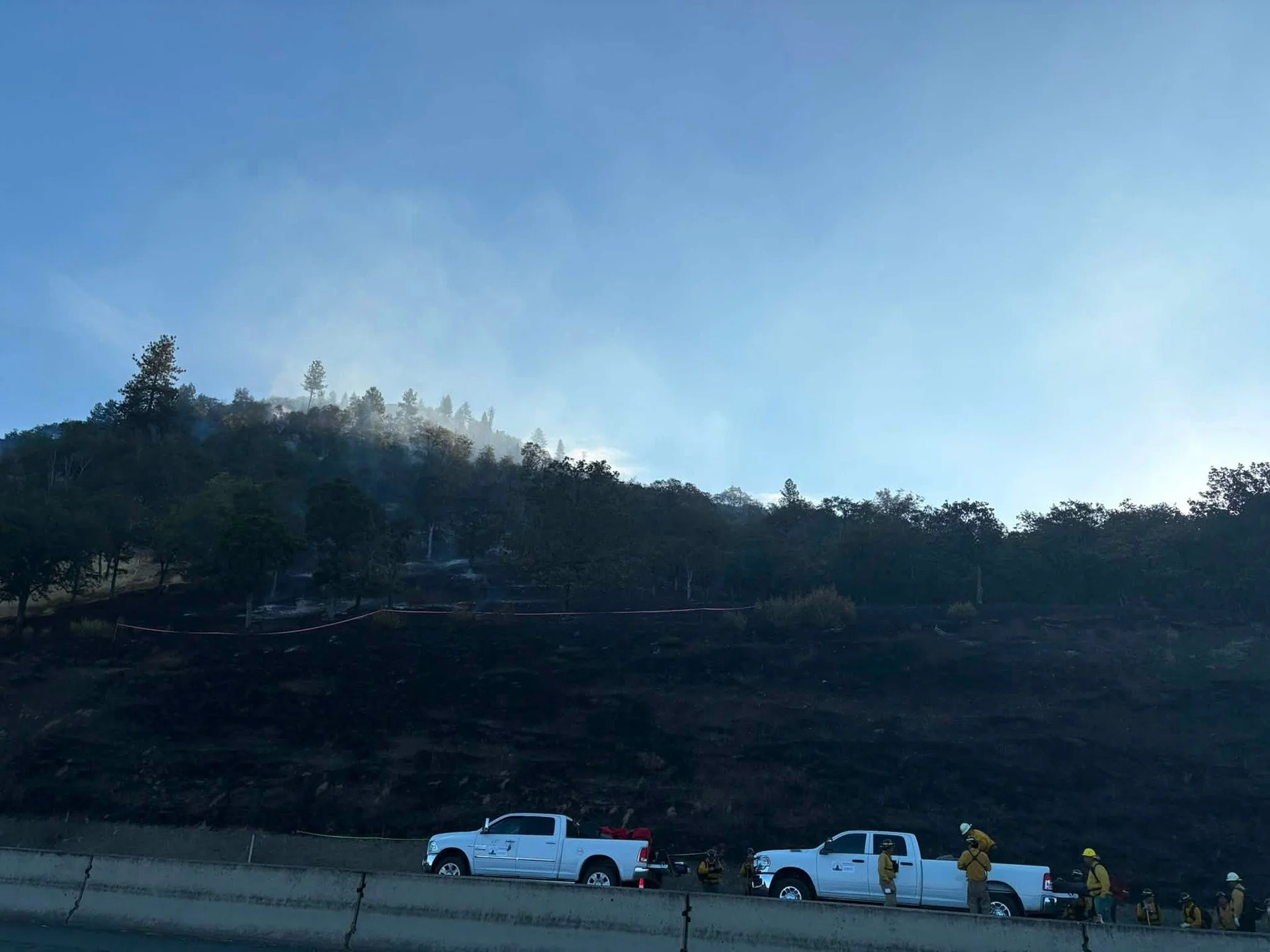
Roadside Crews: Firefighters and support vehicles stage along northbound Interstate 5 below the burned hillside Sunday morning. Oregon Department of Forestry Southwest Oregon District.
Although line has been completed around the fire’s perimeter, ODF has not announced a containment percentage. Completed line does not necessarily mean the fire is contained because firefighters must still secure the perimeter and extinguish heat that could threaten the line.
Crews worked through Saturday night with cooler temperatures and improved humidity. Overnight resources included five dozers, five water tenders, and five hand crews.
Firefighters will again face steep terrain Sunday. Temperatures are expected to be slightly cooler than Saturday, but gusty afternoon winds could increase the potential for spot fires.
ODF said firefighters are prepared to respond quickly if fire crosses existing lines or new spot fires develop.
Burned Hillside: A BLM Fire vehicle sits below the burned hillside along Interstate 5 as crews continue securing the 96-acre I-5 MM 57 Fire. Oregon Department of Forestry Southwest Oregon District.
A Type 1 helicopter and a Type 2 helicopter are assigned to the incident, with additional aircraft available if needed.
A Temporary Flight Restriction remains in place above the fire. Drones are prohibited because unauthorized aircraft can force firefighting aircraft to leave the area, delaying suppression operations and increasing risks to firefighters.
Northbound Interstate 5 has been reduced to one lane as traffic passes the fire area near milepost 57. Drivers should expect possible delays, slow down near emergency vehicles, and check TripCheck before traveling through the area.
Aerial Support: A helicopter works above the fire area as ground crews continue suppression operations near Interstate 5. Oregon Department of Forestry Southwest Oregon District.
Evacuations remained in place overnight. ODF’s Sunday morning update did not announce any changes to evacuation levels or boundaries. Residents should continue following the Josephine County Sheriff’s Office for current evacuation information.

One residence was reported lost Saturday. ODF said at 8 p.m. that no additional structures had been lost, and no further damage was announced in the overnight or Sunday morning updates.
The official cause remains under investigation.
An additional update is expected Sunday evening.
Jefferson Firewatch will continue following the fire and update this report as confirmed information becomes available.
RELATED:
August 1, 2026: I-5 Fire Near Grants Pass Estimated at 75 to 80 Acres, One Residence Reportedly Lost


Keep Reading
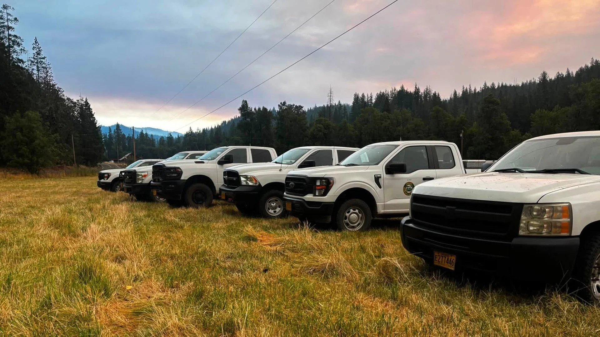


ODF Southwest Oregon’s 4 Alpha Fox helicopter has completed its 75-day seasonal contract after introducing approved night-vision wildfire flights this year. One recent after-dark mission located three lightning-caused fires.