
I-5 Fire Near Grants Pass Estimated at 75 to 80 Acres, One Residence Reportedly Lost
Crews are reinforcing containment lines as aircraft begin scaling back. No additional structures have been lost.
Fast Fire Facts
Name: I-5 MM 57 NB Fire
Location: Northbound Interstate 5 near milepost 57 and NE Beacon Drive, Grants Pass
Acres: Approximately 75 to 80
Equipment: Hand crews, Type 6 engines, helicopters, air tankers, dozers, water tenders, and structural fire resources
Activity: Steady progress despite strong winds and steep terrain; aircraft beginning to scale back
Structures: One residence reportedly lost; no additional structures lost as of 8 p.m.
Evacuations: Level 3 for GRA-022, GRA-034, GRA-036, and JCU-422-B; Level 2 for JCU-422-C
Updated Aug. 1, 2026, at 8:22 p.m.:
The fire is now estimated at 75 to 80 acres. Additional hand crews and Type 6 engines have arrived, while aircraft are beginning to scale back as firefighters make steady progress. No additional structures have been lost.
Firefighters continued strengthening lines on the I-5 MM 57 NB Fire Saturday evening despite strong wind gusts and steep terrain, according to the Oregon Department of Forestry.
The fire is now estimated at 75 to 80 acres. Multiple hand crews and Type 6 engines have arrived to reinforce suppression efforts.
ODF said no additional structures have been lost. One residence was reported lost earlier Saturday, and officials had not announced any other structural losses as of 8 p.m.
Aircraft are beginning to scale back as firefighters make steady progress. Most remaining fire activity is concentrated along the upper-left shoulder of the fire, where ground crews and aircraft continue working together.
GRANTS PASS, Ore. — A fast-moving wildfire burning along Interstate 5 near Beacon Hill grew to an estimated 75 acres Saturday evening as firefighters continued an extensive air and ground attack.
The fire, identified by the Oregon Department of Forestry as the I-5 MM 57 NB Fire, was first reported near northbound I-5 and NE Beacon Drive. It was initially estimated at approximately 10 acres before growing to 60 acres by 4:10 p.m. and 75 acres by 6:30 p.m.
Evacuation Map: Level 3 evacuation zones are shown around Beacon Hill and northeast Grants Pass as the fire burns near Interstate 5. Josephine County Emergency Management.
ODF said firefighters and numerous partnering agencies were making strong progress. Crews have built a combination of hand line and dozer line around approximately 30% of the fire.
The percentage lined should not be confused with containment. ODF had not announced a containment percentage as of Saturday evening.


Initial reports indicate one residence has been lost. Officials had not released additional information about the home, other possible structural damage, or injuries.
The latest Josephine County evacuation map shows Level 3 GO NOW orders for zones GRA-022, GRA-034, GRA-036, and JCU-422-B in the Beacon Hill and northeast Grants Pass area.
Zone JCU-422-C is under a Level 2 BE SET notice.
People within a Level 3 evacuation zone should leave immediately and should not delay to gather belongings or attempt to protect their property. Residents within the Level 2 zone should be prepared to leave at a moment’s notice.
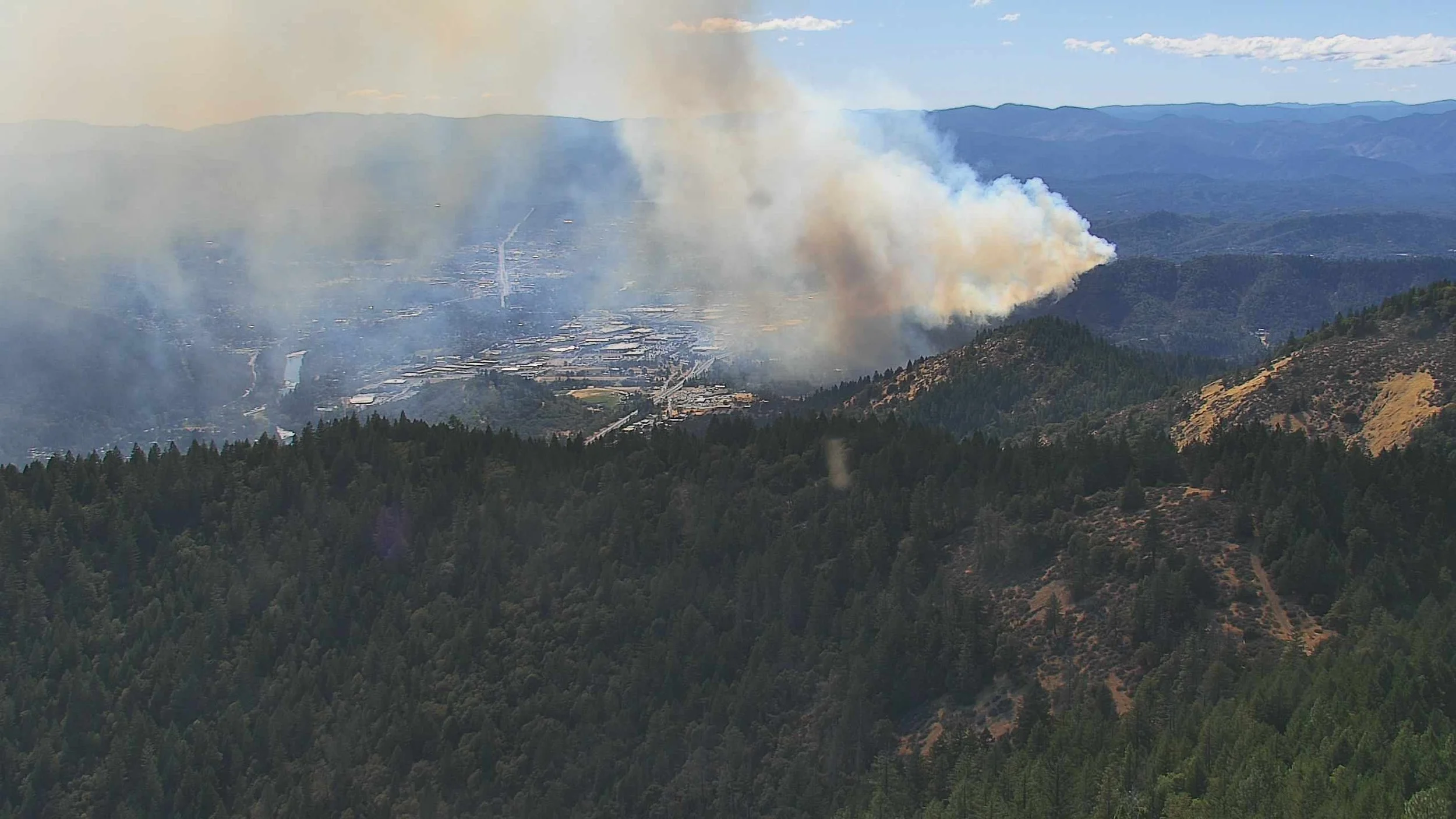
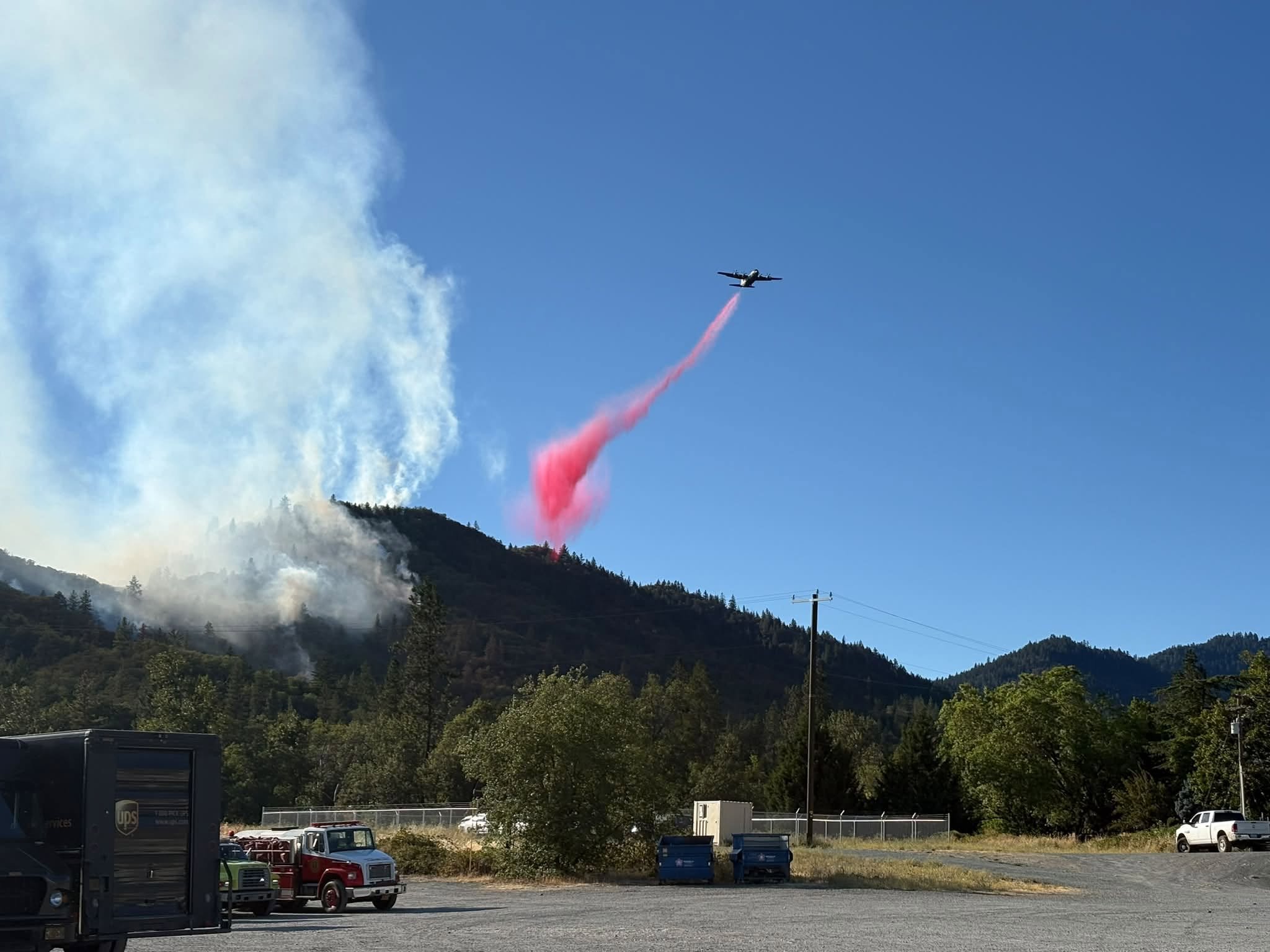
ODF said firefighters are using an extensive combination of resources, including retardant drops, helicopter bucket drops, dozers, water tenders, hand crews, engines, and structural fire resources.
Five air tankers were ordered earlier Saturday, including four large air tankers and one very large air tanker. Three Type 2 helicopters were also ordered or responding.
By Saturday evening, two aircraft equipped with Modular Airborne FireFighting Systems, commonly known as MAFFS, were also supporting suppression operations.
ODF is ordering additional resources to continue working through Saturday night, along with more day-shift resources for Sunday.
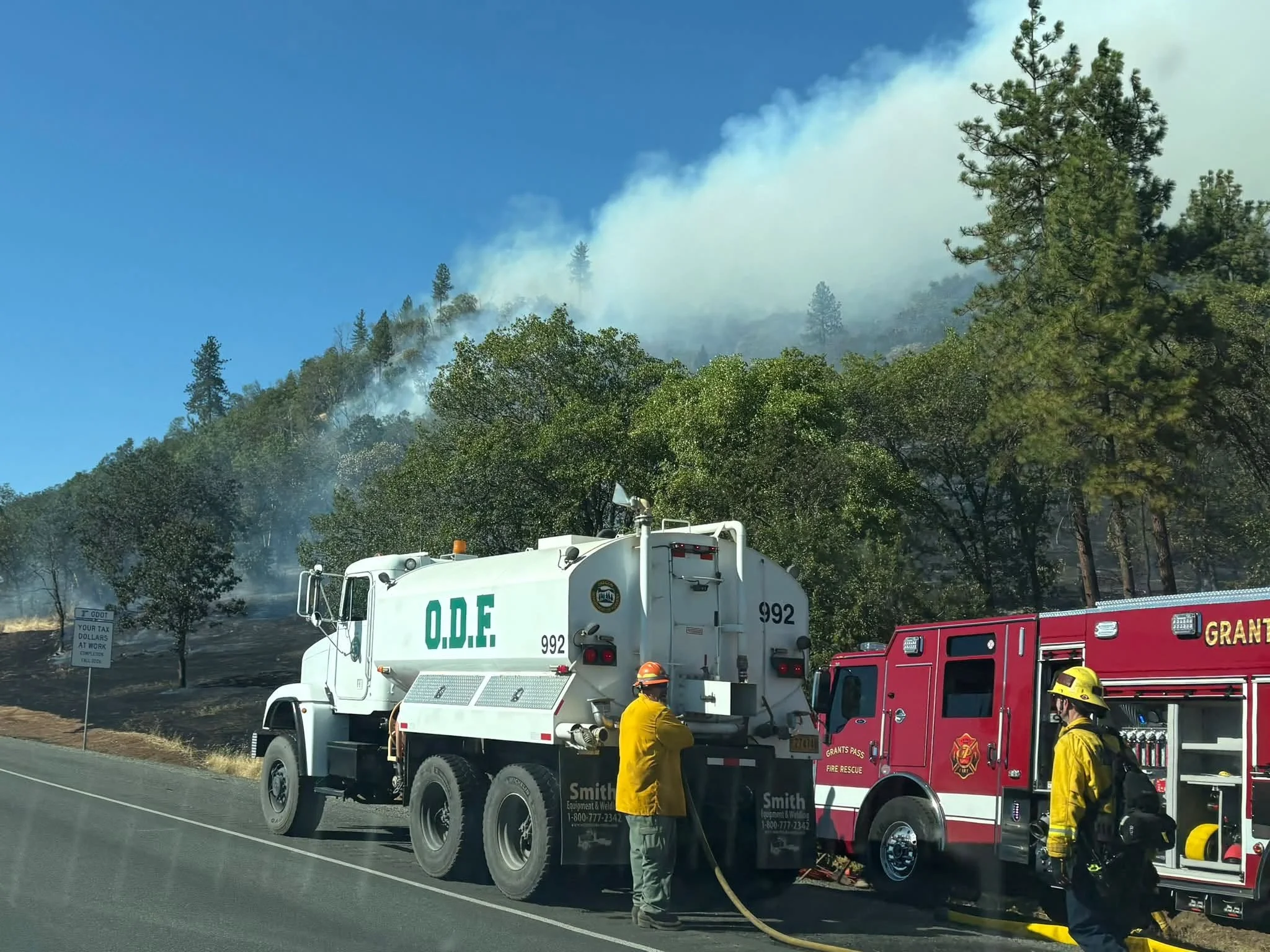
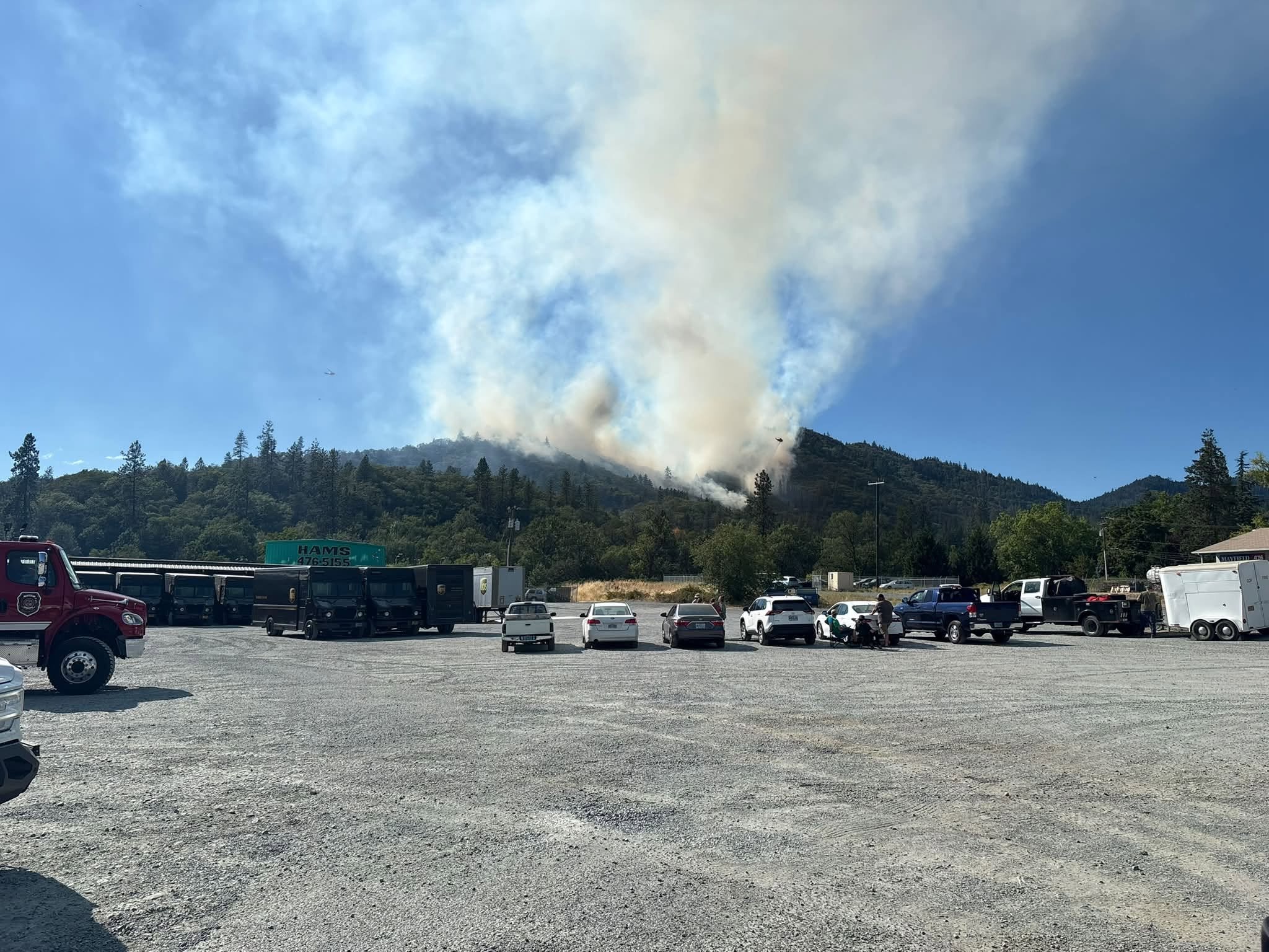
A Temporary Flight Restriction remains in place over the fire area. ODF warned people not to fly drones near the incident because an unauthorized drone can force firefighting aircraft to leave the area, delaying suppression efforts and increasing the danger to firefighters.
Smoke from the fire has been highly visible throughout Grants Pass and surrounding areas. The fire is burning in dry grass and vegetation near homes, businesses, and the interstate.
Interstate 5 remained open near milepost 57 Saturday evening. TripCheck reported minimal delays because of the fire and advised motorists to use caution.

Drivers should slow down, watch for emergency vehicles, and give firefighters room to work.
The official cause of the fire remains under investigation.
Jefferson Firewatch will continue following the fire and update this report as confirmed information becomes available.


Keep Reading


ODF Southwest Oregon’s 4 Alpha Fox helicopter has completed its 75-day seasonal contract after introducing approved night-vision wildfire flights this year. One recent after-dark mission located three lightning-caused fires.