
Florida Team Takes Command as East Evans Creek Fire Reaches 66% Containment
Crews complete more than 300 feet of mop-up in many areas while removing hose, repairing suppression lines and tracking lingering interior heat

FAST FIRE FACTS
Acres: 15,580
Containment: 66%
Growth: No new growth reported
Mop-Up: More than 300 feet in many areas
Current Focus: Mop-up, patrol, repair and equipment removal
Command: Florida Complex Incident Management Team 1
Infrared: UAS mapping heat near firelines
Weather: Mid- to upper 80s with breezy winds
Latest Maps: View current fire maps
Updated to include the operations briefing from ODF.
SAMS VALLEY, Ore. — Containment on the East Evans Creek Fire has increased to 66% as a Florida incident management team assumes command and crews continue pushing mop-up deeper into the burned area.
The fire remains at 15,580 acres with no new growth reported.
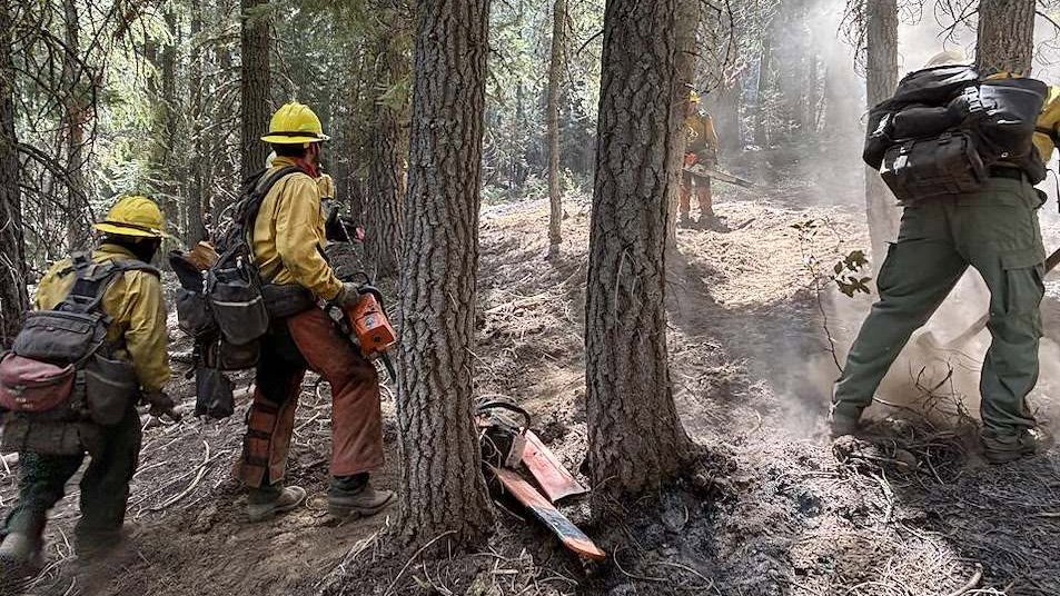
Firefighters have now completed more than 300 feet of mop-up adjacent to the perimeter in many areas, creating a widening band of cooled and extinguished ground between lingering interior heat and established control lines.
On the western side of the fire, crews continue removing hose and equipment that are no longer needed.
Florida Complex Incident Management Team 1, led by Incident Commander Butch Galbraith, assumed command at 6 a.m. Monday. The transfer follows Oregon Department of Forestry Team 1’s 16-day assignment to the incident.


CONTAINMENT CLIMBS TO 66%
Containment increased from 54% to 66% following another day of steady progress around the fire.
The percentage reflects the growing depth of “cold black” along the perimeter — burned ground where firefighters have located and extinguished remaining heat and determined the edge is unlikely to spread.
Crews continue gridding along the fireline, feeling for heat and watching for smoke as they verify that completed sections remain secure.
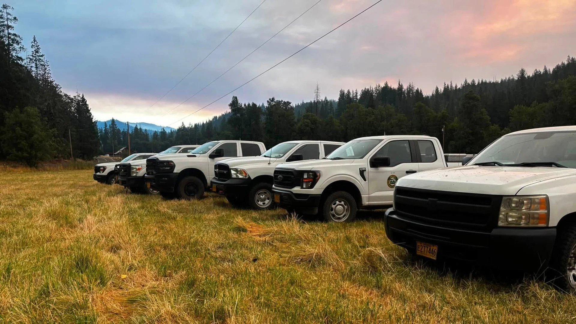
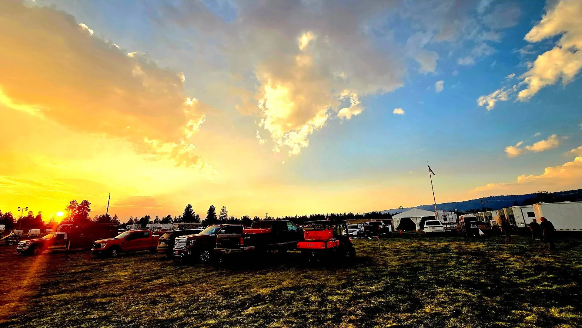
COVER PHOTO: Firefighters gather for a morning operational briefing as Florida Complex Incident Management Team 1 assumes command of the East Evans Creek Fire and crews continue deep mop-up, patrol and suppression repair. (Oregon Department of Forestry)
MOP-UP PASSES 300 FEET IN MANY AREAS
Firefighters have reached an important operational goal by completing more than 300 feet of mop-up inside the perimeter in many areas.
That work requires crews to systematically search burned ground, break apart heavy fuels and extinguish heat that could remain beneath logs, roots or layers of debris.
The deeper buffer reduces the possibility that smoldering material could rekindle near control lines or be carried outside the perimeter by wind.
Mop-up and patrol will remain central to operations as firefighters continue securing areas that have not yet reached the same depth.
FLORIDA TEAM ASSUMES COMMAND
Florida Complex Incident Management Team 1 took command of the fire Monday morning.
The incoming team will oversee continued mop-up, patrol, suppression repair and equipment removal as the incident moves farther from active perimeter construction.
ODF Complex Incident Management Team 1 is returning home after 16 days assigned to the fire. The team will rest and prepare for another deployment if needed elsewhere in Oregon.
Incident management transitions are common during extended wildfires and allow operations to continue while personnel rotate out after long assignments.
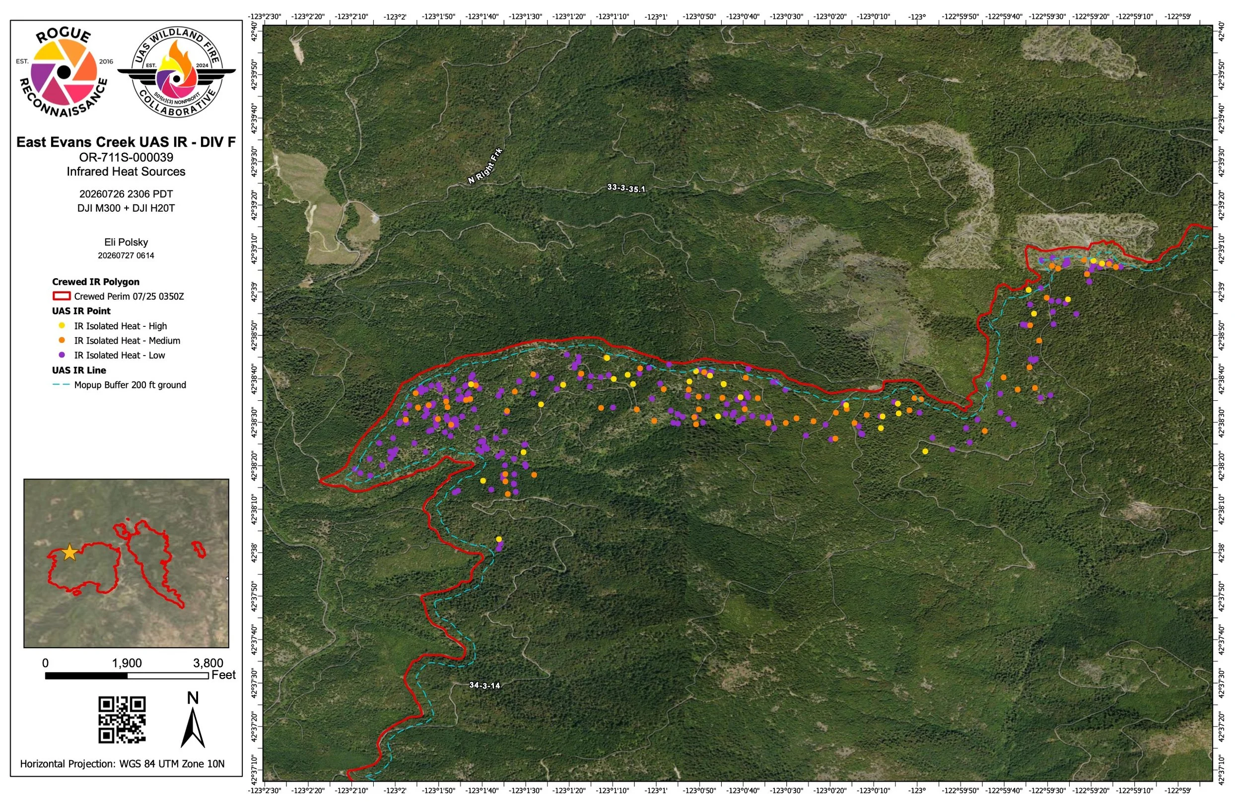
IR MAP: A UAS infrared map identifies remaining heat near the western fireline, giving crews precise locations to target as mop-up extends beyond 300 feet in many areas. View the latest East Evans Creek Fire maps. (Rogue Reconnaissance / UAS Wildland Fire Collaborative)
INFRARED DRONE MAPS REMAINING HEAT
Firefighters used good overnight humidity recovery to continue mop-up while an Unmanned Aircraft System equipped with infrared technology surveyed areas near the fireline.
The drone identified heat for daytime crews to investigate and extinguish Monday.
Infrared technology can detect smoldering material that produces little or no visible smoke, helping firefighters find underground heat or fire concealed beneath heavy fuels.
The information allows crews to focus their work where it is still needed rather than repeatedly searching areas that have already cooled.
HOSE AND EQUIPMENT REMOVAL CONTINUES
Crews continue removing hose and equipment from the western side of the fire as sections of the perimeter become secure.
The backhaul process is expected to continue gradually as firefighters verify that individual areas no longer require the same level of suppression equipment.
Other resources remain assigned where deeper mop-up or additional patrol work is needed.
Suppression repair also continues in areas disturbed by bulldozers, equipment and line construction during the earlier phases of the incident.

LIGHT INTERIOR SMOKE MAY REMAIN
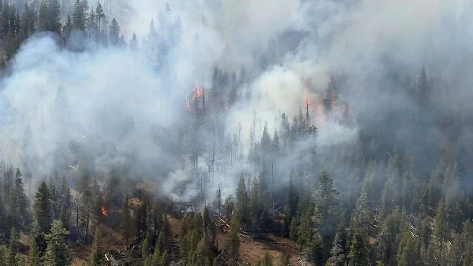
Light smoke remains visible from pockets of unburned vegetation inside the fire.
Those fuels may continue smoldering or burning slowly for some time, even as containment increases.
Fire officials said the remaining activity is within the established footprint. Crews will continue monitoring interior smoke and checking areas near the perimeter for any change.
Residents should not assume that every visible smoke column represents new fire growth, but active fire outside the perimeter or near a home should be reported immediately to 911.
ELEVATED FIRE CONDITIONS CONTINUE
Monday is expected to bring temperatures in the mid- to upper 80s with breezy winds.
Those conditions could increase fire behavior in remaining pockets of heat and allow any new ignition outside the perimeter to spread quickly through dry vegetation.
Firefighters will monitor the East Evans Creek Fire for changes while remaining prepared to support initial attack on new fires in the area.
LATEST FIRE MAPS
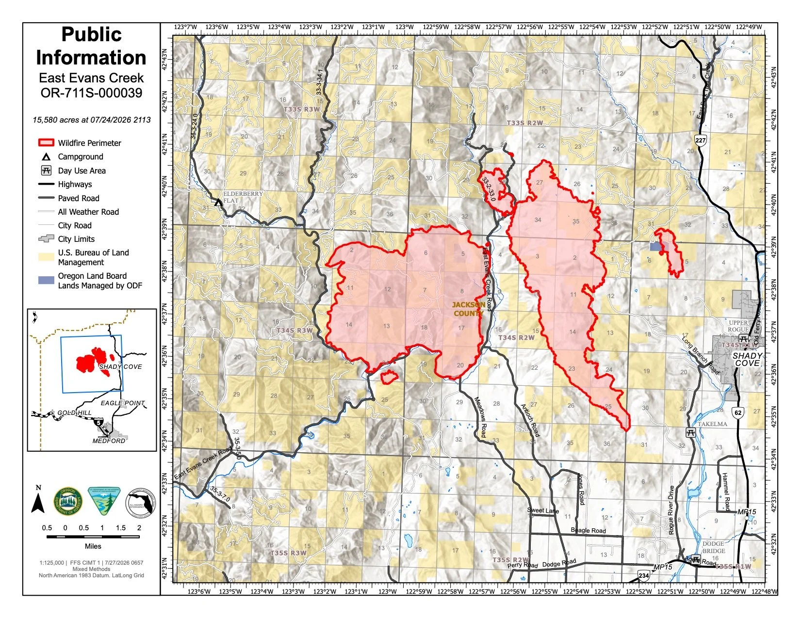
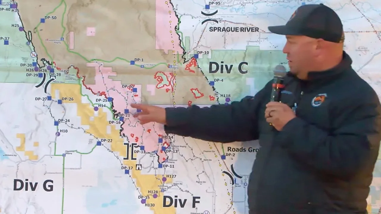
Updated mapping for July 27 places the East Evans Creek Fire at 15,580 acres. (Oregon Department of Forestry) View all current maps on the East Evans Creek Fire Maps page.
The latest official mapping continues to place the East Evans Creek Fire at 15,580 acres.
Current maps show the established fire footprint and control lines surrounding the main fire and associated spot-fire areas.
Infrared-equipped drones are also providing targeted heat mapping near the perimeter, helping crews identify areas where additional mop-up is needed.
FIRE WEATHER
Temperatures are expected to reach the mid- to upper 80s Monday, accompanied by breezy winds.
Although the fire remains within its established footprint, the weather could increase visible smoke from interior heat and test areas still undergoing mop-up.
Dry vegetation outside the perimeter remains capable of supporting rapid fire spread from any new ignition.
Firefighters will continue monitoring conditions and remain prepared to assist local agencies with new starts.
FIRE DANGER
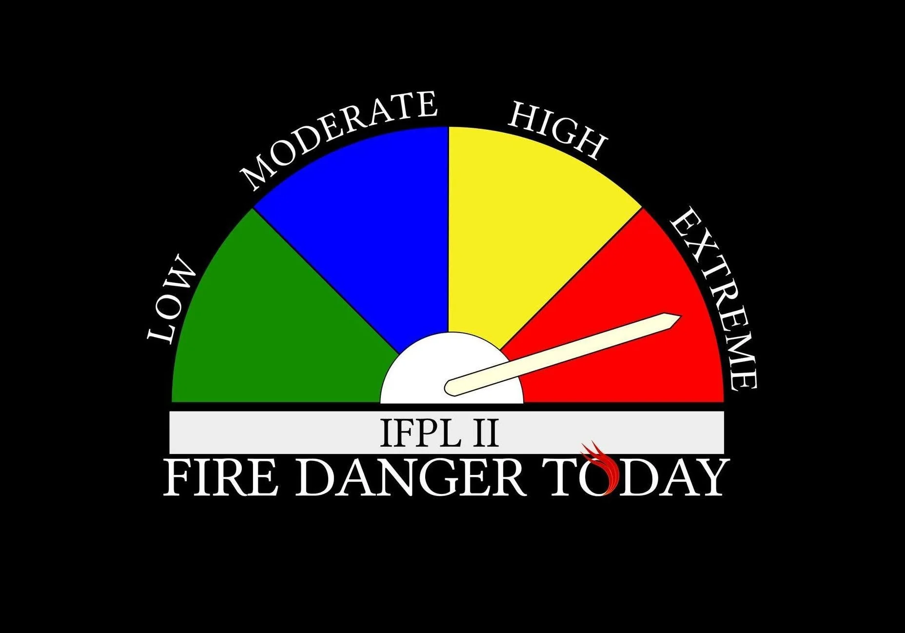
Extreme fire danger remains in effect on Oregon Department of Forestry-protected lands across Jackson and Josephine counties.
Dry vegetation can ignite easily and allow new fires to spread rapidly.
Restrictions remain in place on activities capable of producing sparks or igniting cured fuels.
Residents should continue using extreme caution with vehicles, equipment and outdoor activities.


More Firewatch

ODF Southwest Oregon’s 4 Alpha Fox helicopter has completed its 75-day seasonal contract after introducing approved night-vision wildfire flights this year. One recent after-dark mission located three lightning-caused fires.