
Fielder Mountain Fire Grows to 400 Acres as Evacuations Expand Near Rogue River
Night crews take over as fire burns uphill through steep terrain
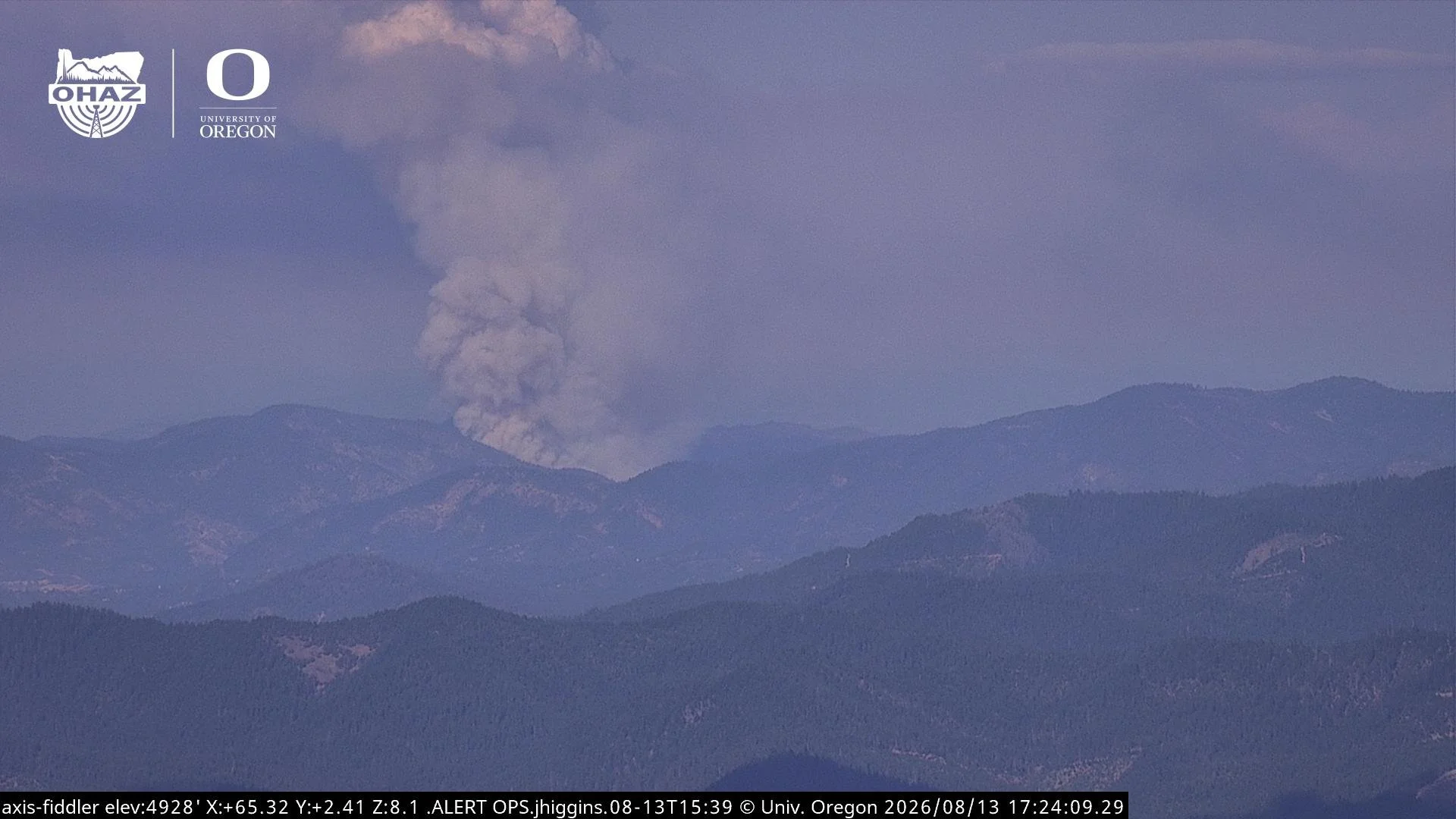
Fielder Mountain View: Heavy smoke from the Fielder Mountain Fire fills the view from a camera positioned on Fielder Mountain at approximately 6:38 p.m. Thursday. TowerView.live.
UPDATE: 7:45 p.m.
The Fielder Mountain Fire has grown to an estimated 400 acres as firefighters continue working the fire from the ground and air in steep terrain north of Rogue River.
ODF Southwest Oregon says the fire continues burning uphill while crews make progress on suppression efforts. Night resources have arrived and are now actively engaging the fire.
The overnight response includes 15 hand crews, 14 engines, seven dozers, 7 water tenders, and 2 single-resource fallers.
11 aircraft have worked over the fire, including 2 Type 2 helicopters, 5 Type 1 helicopters, Air Attack, air tankers, and a lead plane. Aircraft will continue suppression operations as long as daylight and conditions allow.
Additional evacuations have also been issued. Officials are directing residents to the Jackson County Sheriff’s Office and Josephine County Sheriff’s Office for the latest evacuation information as conditions continue to change.
—
UPDATE: 5:30 p.m.
ODF Southwest Oregon is now referring to the incident as the Fielder Mountain Fire. Air Attack estimates the fire between 100 and 200 acres, although heavy smoke is limiting visibility and preventing a more precise size estimate.
Firefighters continue an aggressive attack in very steep terrain while addressing spot fires. Crews are progressing hose lays from the bottom of the fire uphill, while aircraft continue supporting ground operations with helicopter bucket drops and retardant.
Due to the complexity of the incident, ODF Incident Management Team 1 has been ordered. The team will provide additional management capacity for the Fielder Mountain Fire while allowing district resources to remain available for new initial attacks.
Traffic remains extremely congested along I-5 and surrounding roads. ODF is asking drivers to avoid the area unless travel is necessary. An temporary evacuation point has been set up at Valley of the Rogue State Park.
Interstate-5 is currently open. Foothill Blvd. is closed.
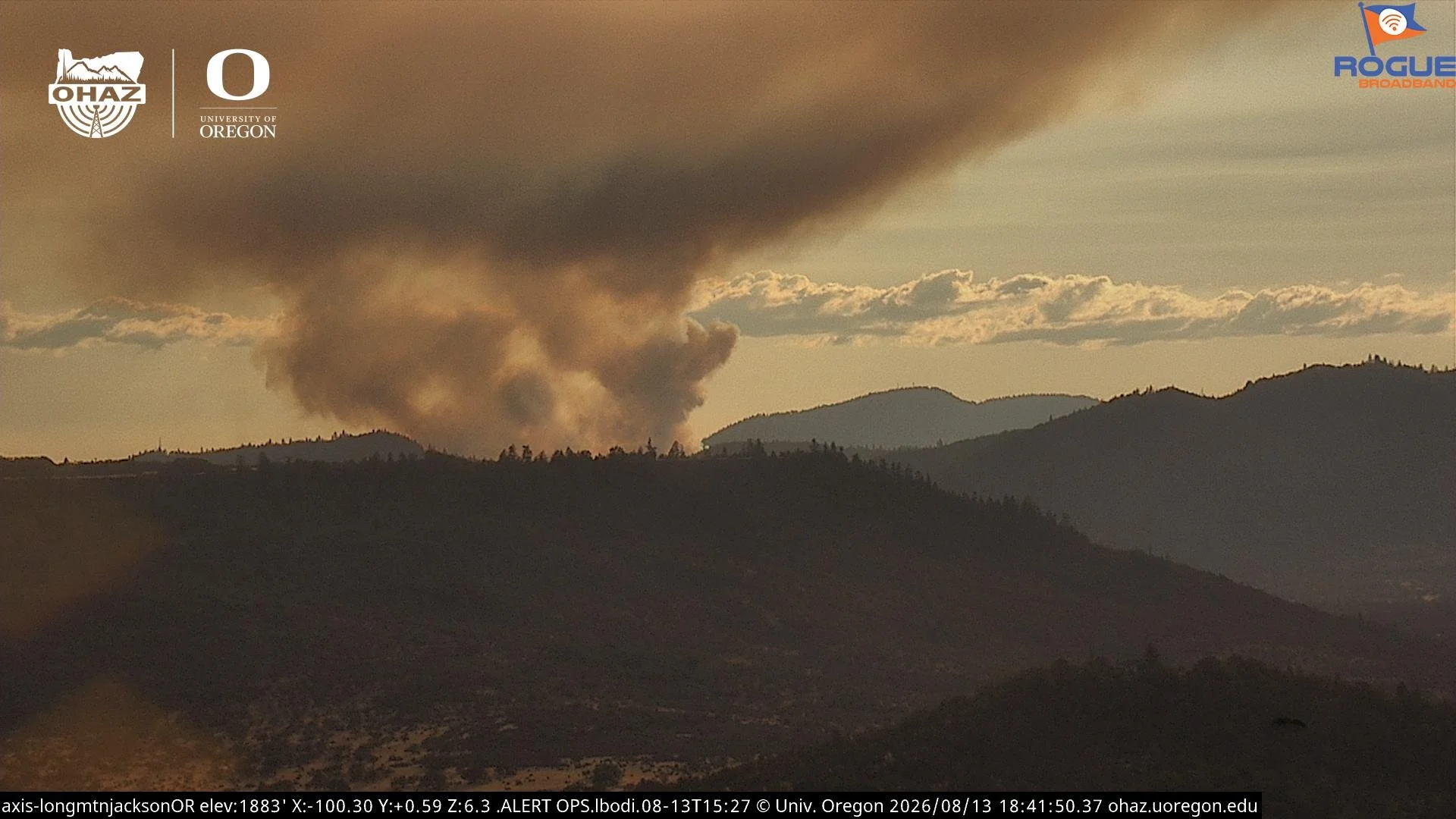
Live View: Live camera from Roxy Ann Peak provides a view toward the Rogue River area as smoke from the Fielder Mountain Fire moves across the region. Roxy Ann Peak Live Stream.
ROGUE RIVER, Ore. — A fast-moving wildfire burning along Interstate 5 north of Rogue River has grown to an estimated 100 acres, prompting Level 3 evacuations as firefighters attack the fire from the ground and air.
The I-5 Mile Marker 51 NB Fire was estimated at 100 acres as of 4:40 p.m. Thursday, according to the Oregon Department of Forestry Southwest Oregon District.
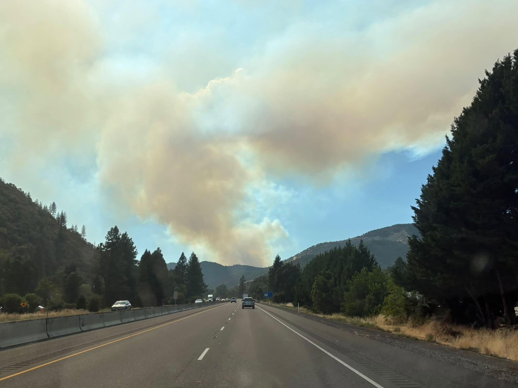
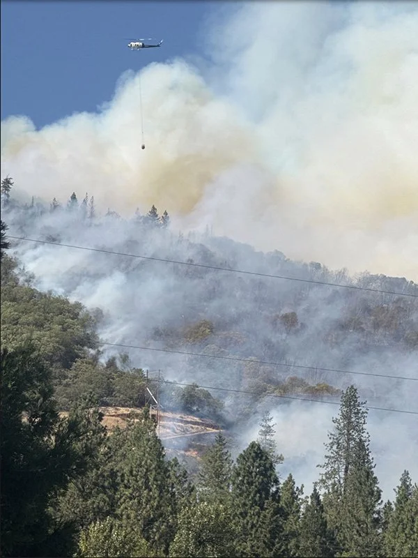
ODF initially responded to reports of multiple grass fires along I-5 near Mile Marker 51. The incident was estimated at 5 to 10 acres by 3:20 p.m., but hot and windy conditions helped drive rapid growth.
By 3:50 p.m., the fire had grown to an estimated 20 to 30 acres and was described by firefighters as wind-driven, with some spotting reported. The estimate increased to approximately 75 acres at 4:15 p.m. before reaching 100 acres at 4:40 p.m.


Firefighters are continuing an aggressive initial attack while additional resources are being ordered.
ODF reports crews are making progress along the right side of the fire. A line extending from the area where the fire started along the right flank was holding as of the latest update.
Aircraft are actively supporting firefighters on the ground with retardant drops and helicopter bucket drops.
Resources responding during the initial attack include hand crews, engines, dozers, water tenders, Air Attack, two Type 2 helicopters, two large air tankers, and a lead plane. Additional firefighting resources are being ordered as suppression efforts continue.
Level 3 evacuations ordered
Evacuations have expanded in areas north and west of Rogue River as the fire has grown.
The following evacuation zones are currently listed:
Level 3 (GO NOW): JAC-043, JAC-052-B, ROR-053
Level 2 (Be Set): JAC-052-A
Level 1 (Be Ready): JAC-044, ROR-054
Check the live Project Genasys map above for the latest in evacuations.
Residents in a Level 3 evacuation area should leave immediately.
Evacuation conditions can change quickly during an active wildfire. Residents near the fire should continue monitoring official information from the Jackson County Sheriff’s Office and local emergency officials.

Heavy traffic reported along I-5
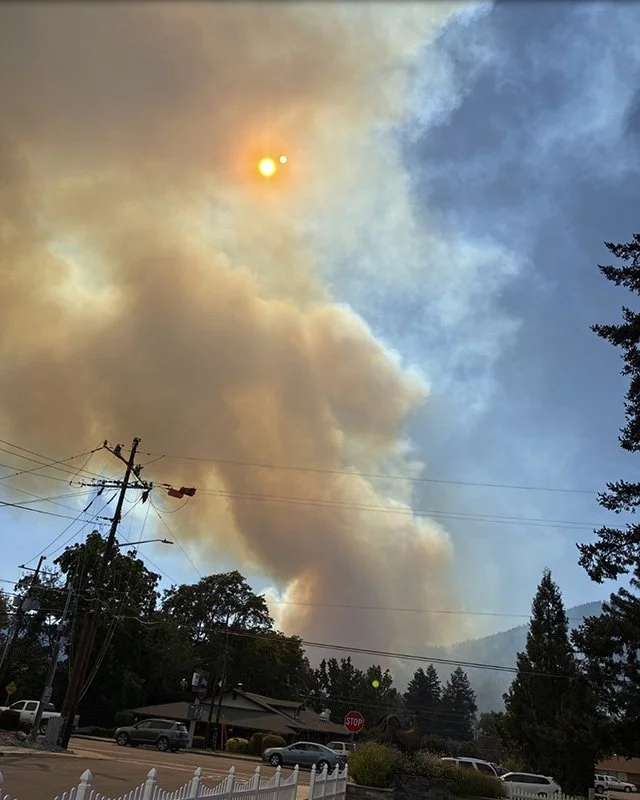
Smoke Column: A user-submitted photo shows a large smoke column from the Fielder Mountain Fire rising above Rogue River Thursday afternoon. Watch Duty user-submitted photo.
ODF is reporting significant traffic congestion along Interstate 5 and surrounding roads as emergency crews continue working near the highway.
People are being asked to avoid the area when possible and travel through only when necessary. Keeping roads clear will allow firefighters, law enforcement, and other emergency resources to reach the incident.
No Interstate 5 closure has been announced in the information available as of the latest update.
The cause of the fire has not been announced.
Jefferson Daily News is continuing to monitor the I-5 Mile Marker 51 NB Fire and will update this story as additional acreage estimates, evacuation changes, road impacts, and firefighting information become available.
Tree Torching / Cover Photo: Flames and a heavy smoke column rise from the Fielder Mountain Fire north of Rogue River as crews continue suppression efforts Thursday afternoon. Oregon Department of Forestry Southwest Oregon District.


Keep Reading




