
All Evacuations Canceled as Crews Search East Evans Creek Fire for Hotspots
The fire remains at 15,580 acres and 66% containment as infrared-equipped aircraft guide mop-up, suppression repair continues and all road closures reopen

FAST FIRE FACTS
Acres: 15,580
Containment: 66%
Evacuations: All canceled
Road Closures: All lifted
Current Focus: Hot-spot detection, mop-up and suppression repair
Infrared: UAS mapping remaining heat
Equipment: Three chippers supporting repair work
Weather: Warm and dry, with low humidity
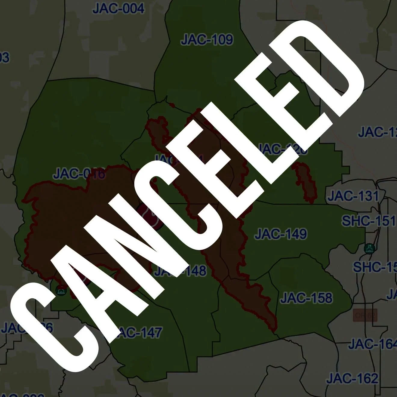
Canceled: Jackson County canceled all remaining evacuation notices for the East Evans Creek Fire on July 28. No evacuation levels remain, and all associated road closures have also been lifted. (Jackson County Sheriff’s Office)
SAMS VALLEY, Ore. — All evacuation notices and road closures associated with the East Evans Creek Fire have been lifted as firefighters continue systematically searching the burned area for remaining hot spots.
The fire remains at 15,580 acres and 66% containment.
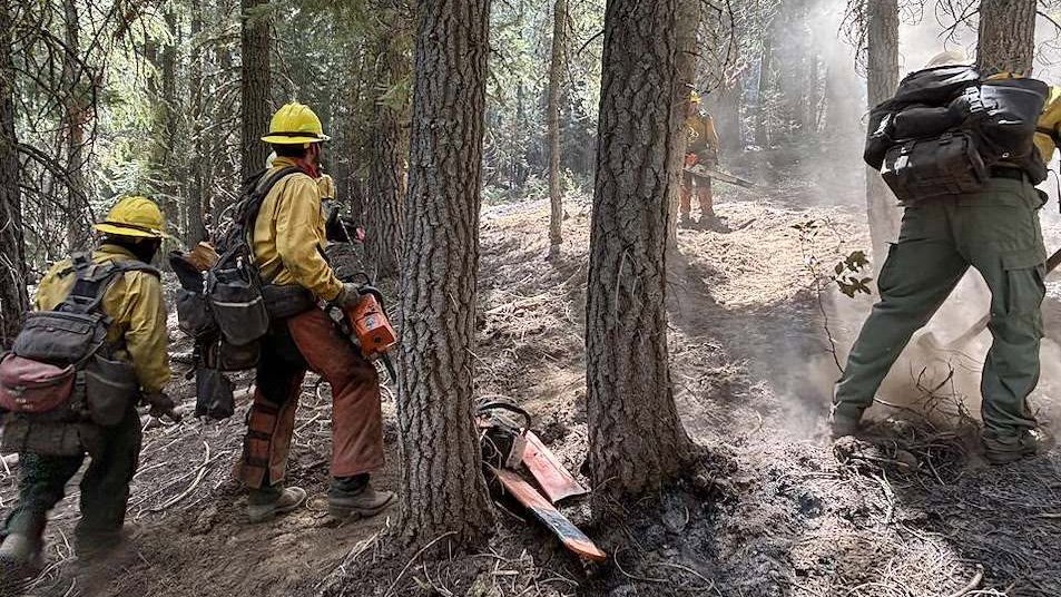
Crews spent Monday gridding along the fire’s edge, exposing and extinguishing heat that can remain hidden beneath logs, roots and other heavy fuels long after visible flames disappear.
An infrared-equipped Uncrewed Aircraft System surveyed the fire overnight, helping identify hot spots for daytime firefighters to address Tuesday.
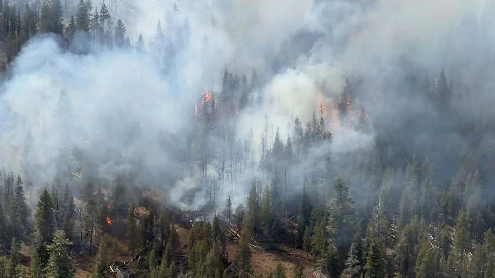
Light smoke may continue rising from isolated pockets of heavy fuel smoldering inside the established perimeter.
ALL EVACUATION NOTICES CANCELED
The Jackson County Sheriff’s Office canceled all remaining Level 1 “Be Ready” evacuation notices Tuesday because of continued progress on the fire.
The cancellation applies to zones:
JAC-016, JAC-017, JAC-109, JAC-124, JAC-126, JAC-147, JAC-148, JAC-149 and JAC-203B.
There are now no evacuation levels remaining for the East Evans Creek Fire.
Officials cautioned that evacuation notices could be reinstated if conditions change. Anyone who feels unsafe should leave rather than wait for an official notice.
Residents returning to affected areas may continue seeing smoke. Active fire on private property should be reported to 911. Residents requesting an investigation of smoke on their property may call non-emergency dispatch at 541-776-7206.


ALL ROAD CLOSURES LIFTED
Jackson County has also lifted the remaining road closures associated with the fire.
Firefighters, support vehicles and heavy equipment remain active throughout the incident area, however, and drivers should slow down and give crews room to work.
The reopening reflects the declining threat to nearby communities but does not mean suppression and repair work has ended.
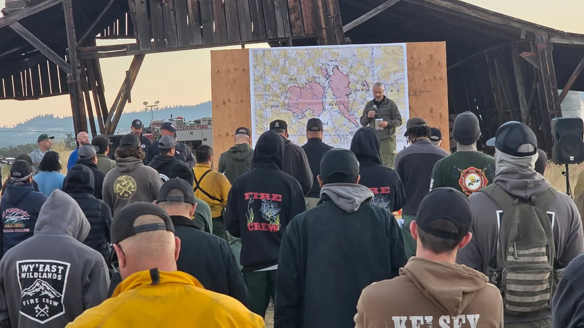
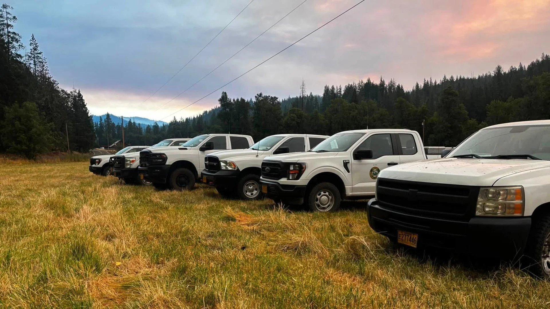
Cover image: Firefighters receive their morning operational briefing before returning to the East Evans Creek Fire to grid for hidden heat, deepen mop-up and continue suppression repair. (Oregon Department of Forestry)
CREWS SYSTEMATICALLY SEARCH FOR HIDDEN HEAT
Firefighters continue gridding the fire area to find heat concealed beneath the surface.
Crews carefully move through burned ground, checking logs, root systems and heavy fuels for warmth or smoke before digging apart and extinguishing hot spots.
This methodical work helps prevent residual heat from moving back toward control lines or reigniting nearby vegetation.
Containment remains at 66% as crews continue increasing the depth of cooled and extinguished ground along the perimeter.
INFRARED MAPPING GUIDES HOT-SPOT SEARCH
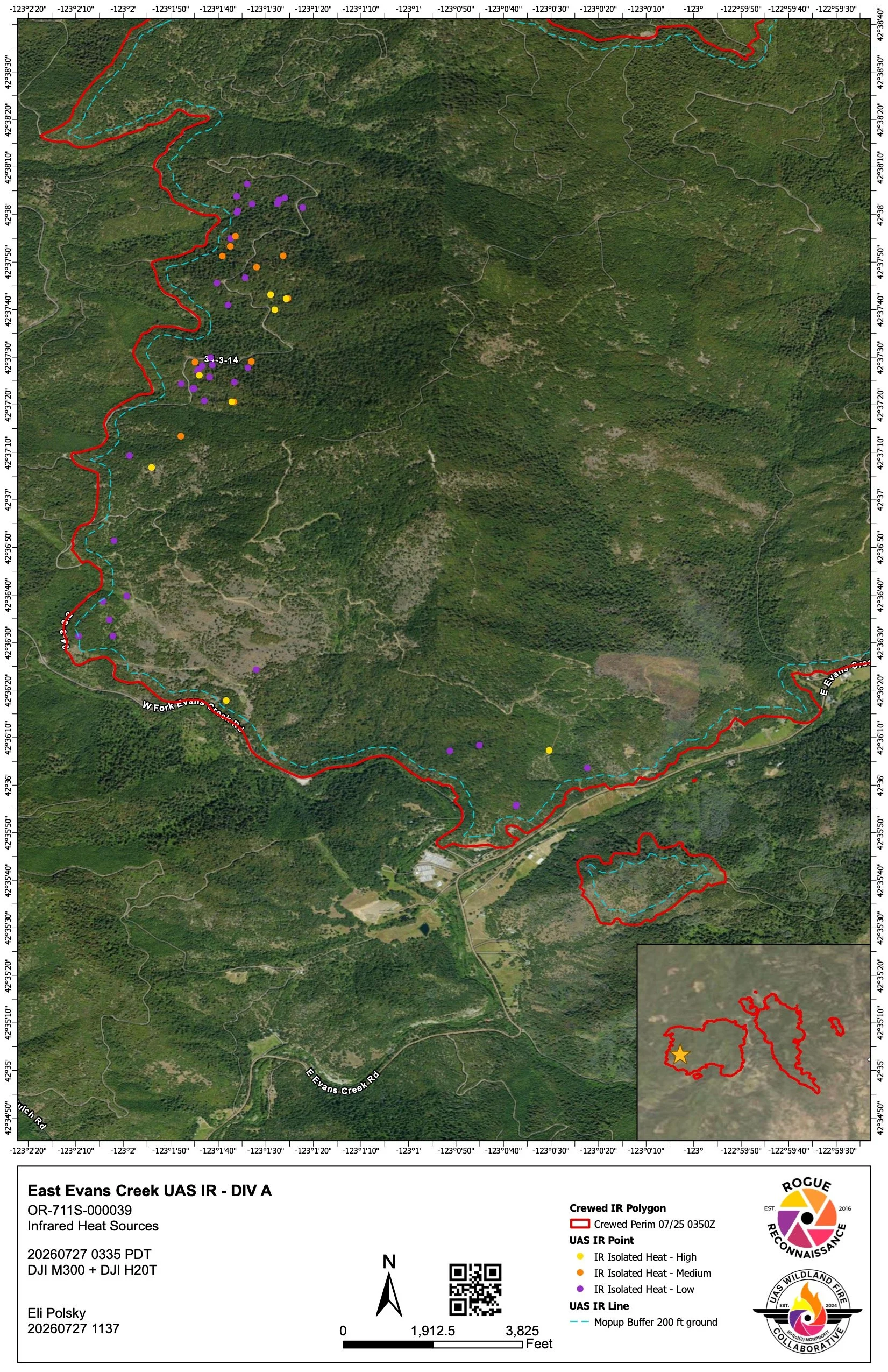
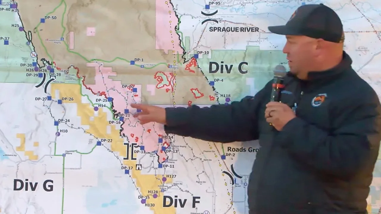
An infrared-equipped UAS maps remaining heat across the East Evans Creek Fire, helping crews identify hidden hot spots and direct targeted mop-up. Click the map to view the latest East Evans Creek Fire mapping. (Oregon Department of Forestry)
An agency-operated Uncrewed Aircraft System equipped with infrared technology mapped remaining heat across the fire overnight.
The imagery allows firefighters to identify hot spots that may be difficult or impossible to see from the ground, including heat concealed beneath logs, root systems and other heavy fuels.
Those locations are passed to daytime crews for targeted mop-up as firefighters systematically grid the perimeter and extinguish anything capable of reigniting.
The East Evans Creek Fire remains mapped at 15,580 acres and 66% contained. The clickable infrared map below shows remaining heat detected across the incident and can be opened for a closer view.
View the latest East Evans Creek Fire maps
The agency aircraft is operating as part of the incident. A 24-hour Temporary Flight Restriction remains in effect, and unauthorized drones near the fire are prohibited because they can endanger firefighters and force suppression aircraft to stop flying.
THREE CHIPPERS SUPPORT SUPPRESSION REPAIR
Three chippers are working across the incident Tuesday as suppression repair continues.
The equipment is processing brush and small trees cut while firefighters constructed control lines and gained access to the fire.
Crews are also removing hose and other equipment from areas where intensive suppression resources are no longer needed.
The repair work is intended to reduce long-term impacts from firefighting operations while preparing disturbed areas for future rain and runoff.
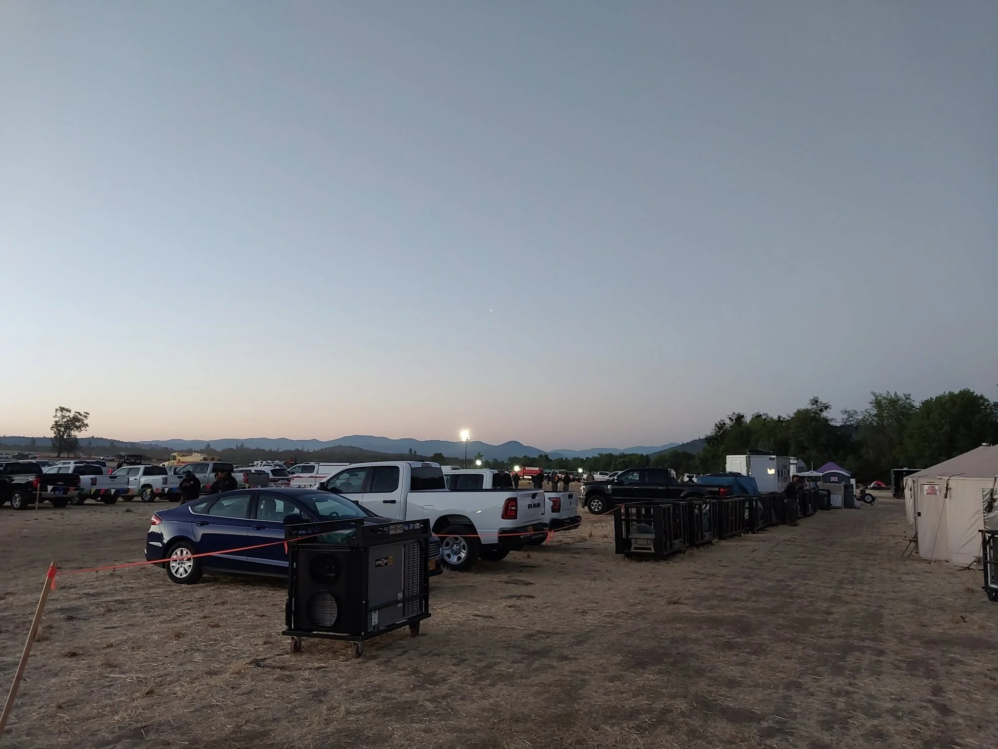
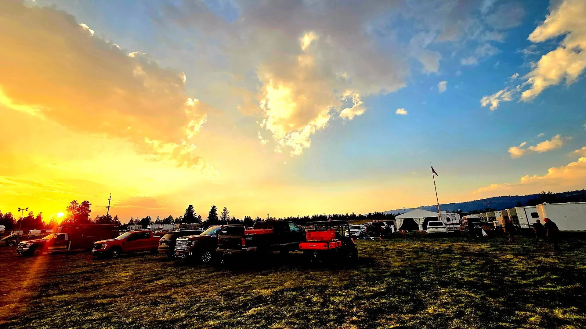
Fire Camp: Vehicles and equipment fill the East Evans Creek Fire camp before crews head to their assignments. Although all evacuations and road closures have been lifted, hundreds of firefighters and support personnel remain active across the incident. (Oregon Department of Forestry)

LIGHT INTERIOR SMOKE MAY CONTINUE
Some smoke is expected to remain visible inside the fire perimeter.
Isolated heavy fuels may continue smoldering slowly even after nearby ground has cooled.
Firefighters will continue monitoring those areas while concentrating on heat close enough to established lines to threaten containment.
Visible interior smoke does not necessarily indicate new fire growth, but active fire outside the perimeter or near a home should be reported immediately.
WARM, DRY WEATHER CONTINUES
Tuesday is expected to bring temperatures from the mid-80s to around 90 degrees, along with low relative humidity.
Those conditions could increase activity in remaining interior fuels and allow any new ignition outside the fire perimeter to spread quickly.
Firefighters will continue gridding for heat, strengthening containment lines where needed and advancing mop-up across the incident.


More Firewatch

ODF Southwest Oregon’s 4 Alpha Fox helicopter has completed its 75-day seasonal contract after introducing approved night-vision wildfire flights this year. One recent after-dark mission located three lightning-caused fires.