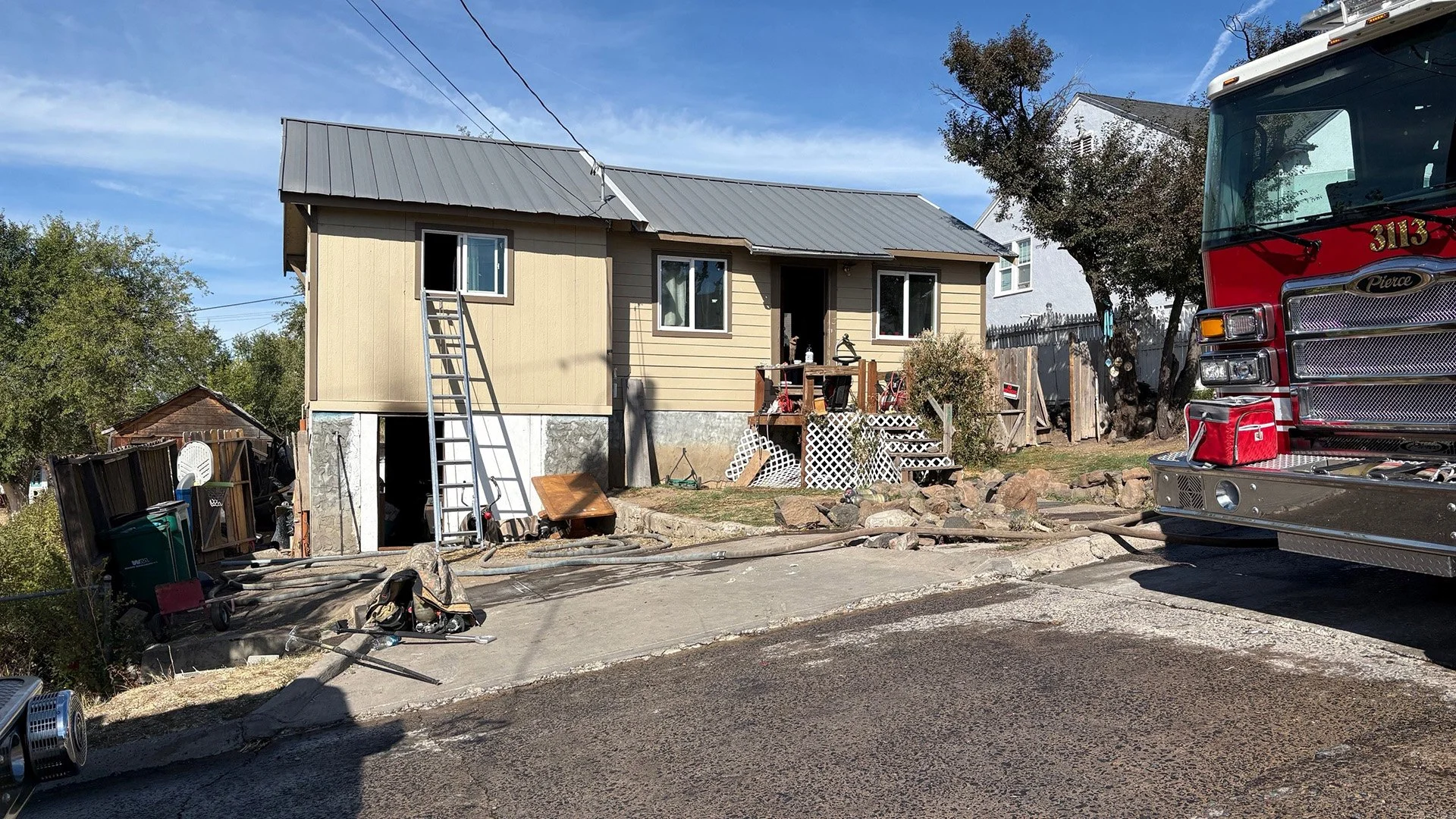
Three novice climbers became stranded overnight after a late summit and navigation problems.
AT A GLANCE
Climbers: Three novice hikers from Roseville, California.
Route: Clear Creek Route on Mount Shasta.
What happened: They summited around 7 p.m., became lost during the descent, and spent the night in Mud Creek Canyon.
Injury: One hiker suffered a knee injury.
Rescue: Forest Service climbing rangers reached the group Monday morning, with Siskiyou County Search and Rescue assisting them back to the trailhead.
Planning: Officials said the group relied on AI, YouTube, and AllTrails while preparing for the climb.
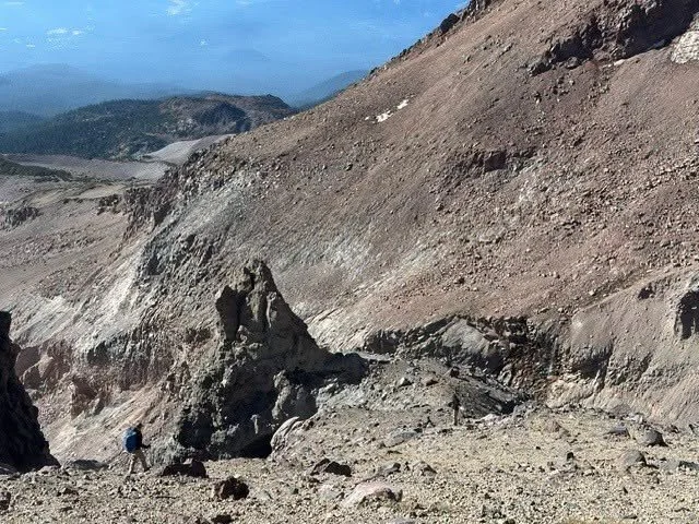
Mud Creek Canyon: A rescuer moves through the steep, loose terrain of Mud Creek Canyon during Monday’s operation to assist three hikers who became stranded overnight on Mount Shasta. Christian Jordan / U.S. Forest Service.
MOUNT SHASTA, Calif. — Three novice climbers made it to the top of Mount Shasta Sunday evening. Getting back down became the real challenge.
The three young men from Roseville, California, were rescued Monday after wandering off the Clear Creek Route during their descent, becoming stranded in Mud Creek Canyon, and spending the night high on the mountain with limited food, water, and warm clothing.
One of the hikers also injured his knee during the descent.
The group had started climbing from a base camp near Clear Creek around 3 a.m. Sunday. By early afternoon, they were still well below the summit and discussed turning around.
They decided to keep going.
The hikers eventually reached the summit around 7 p.m., hours after the recommended noon turnaround time for Mount Shasta.
By then, daylight was disappearing.


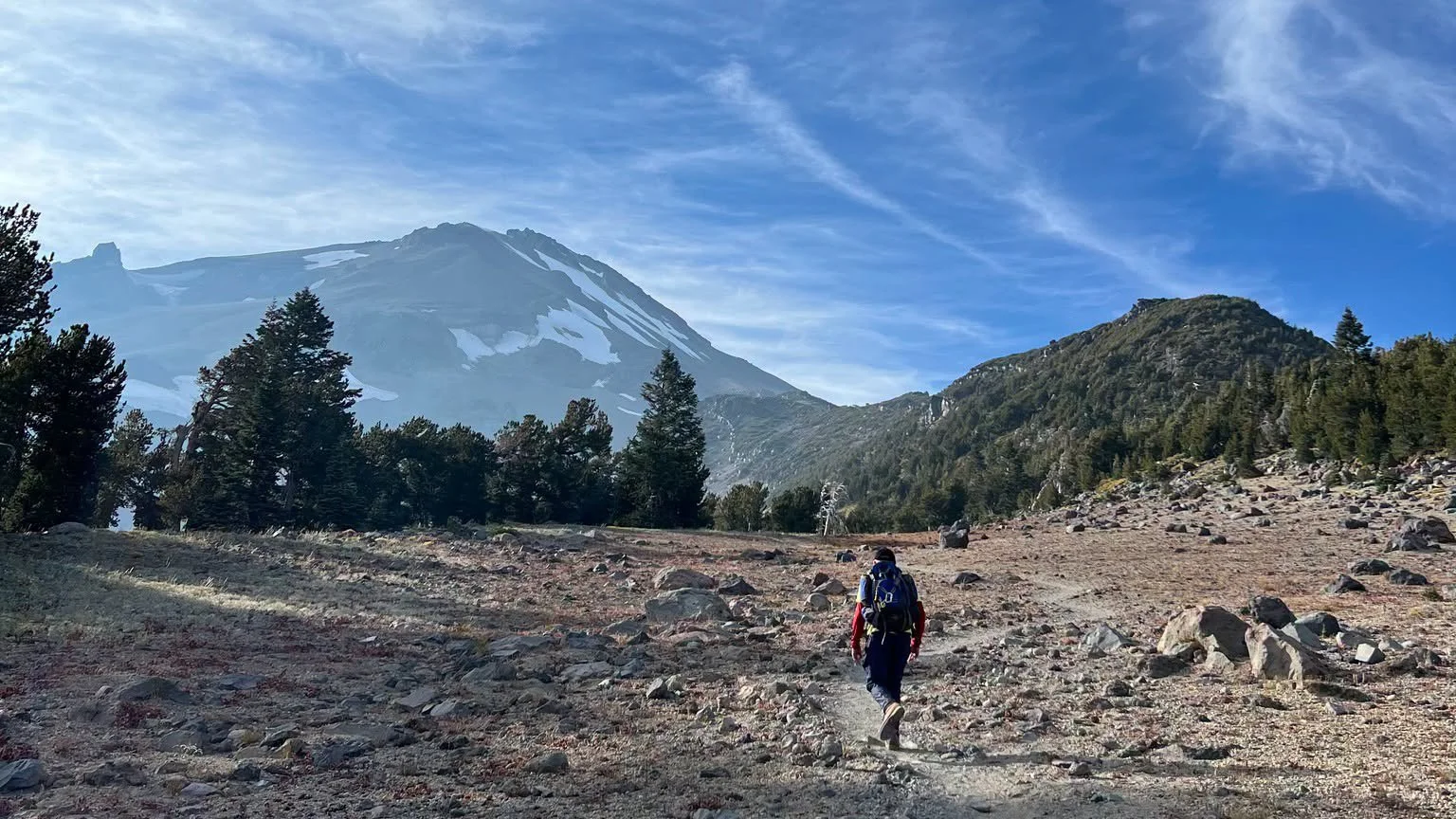
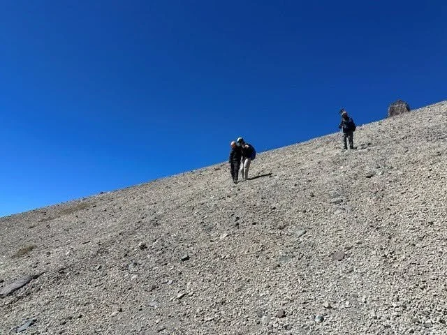
Mount Shasta Rescue: A rescuer heads toward Mount Shasta during Monday’s effort to bring three stranded hikers safely off the mountain. Siskiyou County Sheriff’s Office.
A difficult descent gets worse
Around 8 p.m., the group called 911 asking for directions.
Their primary navigation had been a phone running AllTrails, but the battery had died. A backup charger failed, and the hikers were left relying largely on sight and a Garmin watch as they descended.
They eventually drifted off the Clear Creek Route and into Mud Creek Canyon.
Then one of the hikers fell and injured his knee.
The group continued descending before stopping around midnight near 11,000 feet, where they spent the night without adequate food, water, warm layers, or emergency shelter.
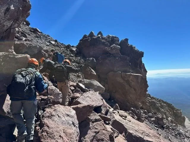
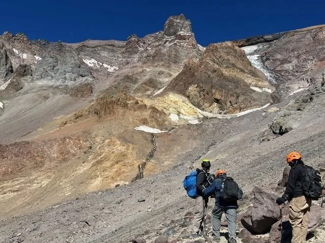
Forest Service climbing rangers reached them around 9:30 Monday morning and found the group exhausted, hungry, and thirsty.
Rangers provided food, water, and minor medical care before beginning the long trip out.
Helicopter crews attempted to assist, but the terrain and strong winds prevented a hoist. The hikers ultimately had to walk out with rescuers, reaching the Clear Creek Trailhead around 6:30 p.m. Monday.
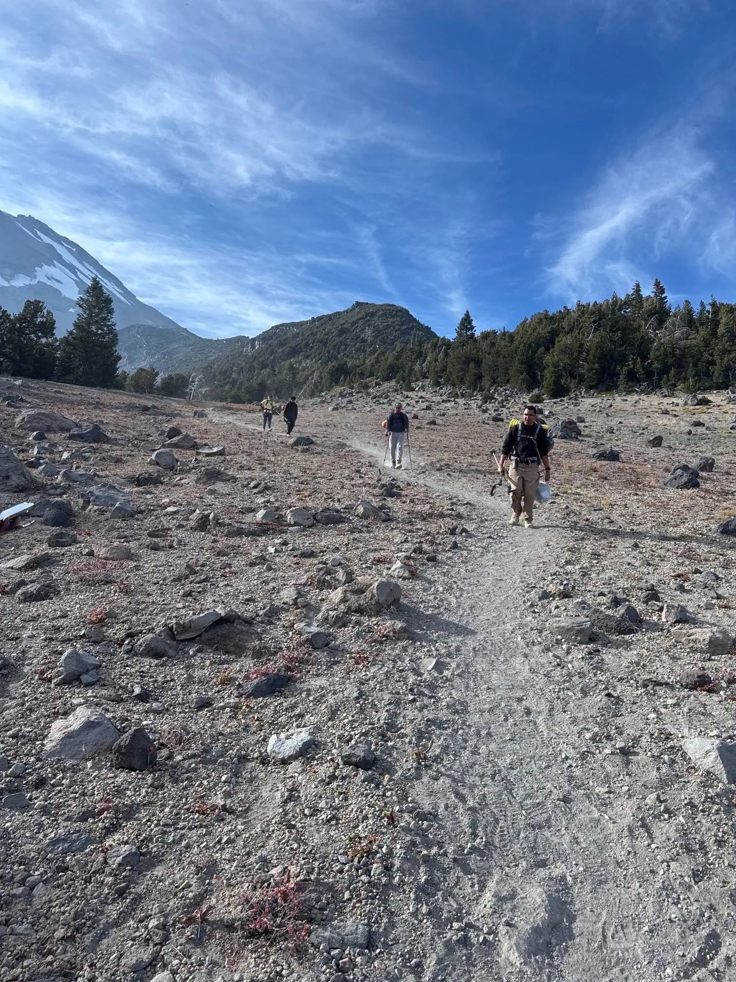
Walking Out: A member of the rescue team descends Mount Shasta after three hikers became stranded overnight in Mud Creek Canyon. Siskiyou County Sheriff’s Office.
Planning decisions come under scrutiny
After the rescue, the hikers told authorities they had used artificial intelligence, YouTube videos, and AllTrails while preparing for the climb.
The Siskiyou County Sheriff’s Office said the group relied heavily on Google Gemini for route information and advice about what food and supplies to bring.
The hikers had packed enough food and water for what they expected to be an eight-hour climb. Their ascent alone took roughly 16 hours.
“We relied too much on AI rather than our own critical thinking,” the group told Forest Service climbing rangers afterward.
The Sheriff’s Office called that reliance a “critical misstep,” saying the hikers had been advised to carry far less food and water than the trip ultimately required.
But rescuers stressed that the larger lesson goes beyond any one app or technology.
Mount Shasta climbers are urged to use reliable local information, carry backup navigation that does not depend entirely on electronics, prepare for an unexpected night outdoors, and establish a firm turnaround time before starting.
“If you have not reached the summit of Mount Shasta by noon, turn around,” the Sheriff’s Office said, emphasizing the importance of leaving enough daylight for a safe descent.

The Clear Creek Route is considered nontechnical, but officials cautioned that it remains a serious mountain environment. Wandering off route can quickly lead climbers into steep and dangerous terrain such as Mud Creek Canyon.
The Forest Service similarly urged climbers to use authoritative local resources rather than relying on a single planning tool.
“It’s important to use reliable information sources for climbs like Mount Shasta,” the agency said.
For these three hikers, a climb planned as a long day became a multi-day ordeal. They ultimately walked off the mountain with rescuers and returned safely. Another party facing the same conditions might not be so lucky.
Cover Image / Rescue Route: Forest Service climbing rangers descend through the upper reaches of Mud Creek Canyon during Monday’s rescue. Christian Jordan / U.S. Forest Service.

Keep Reading